Atlases
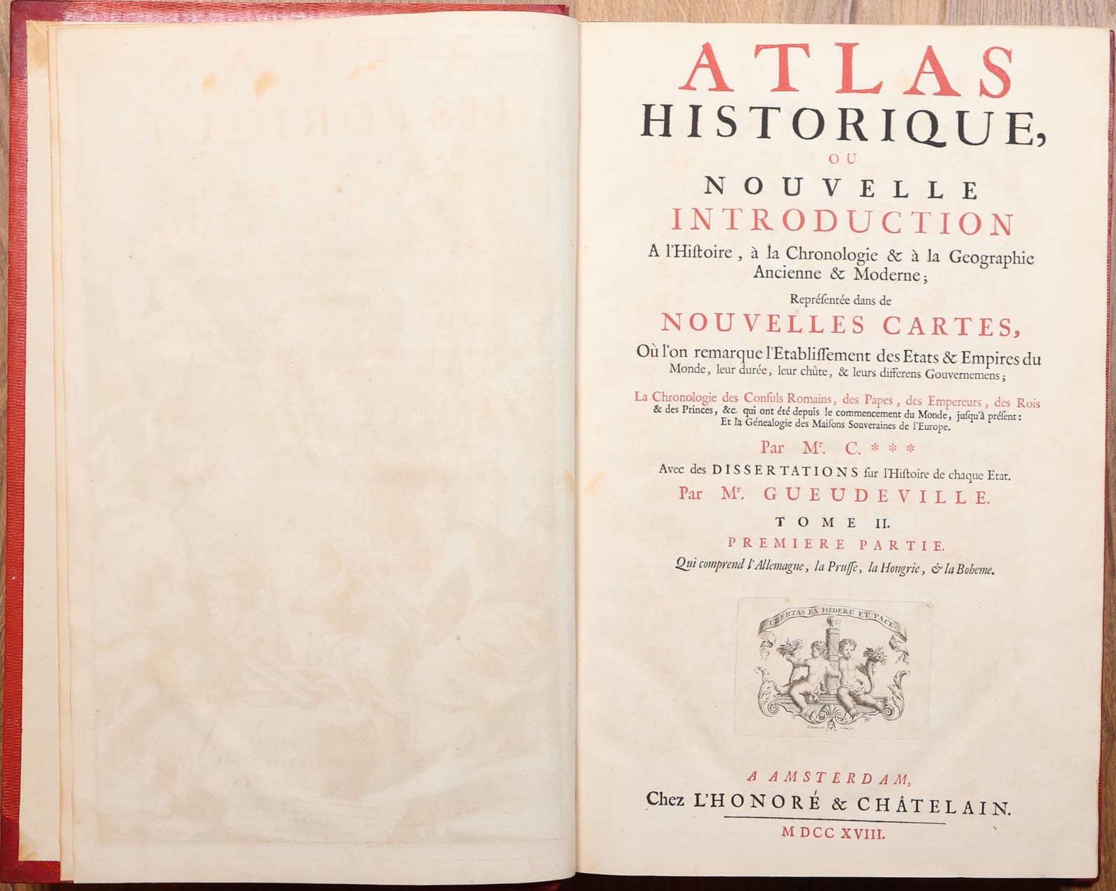
Atlas Historique, ou Nouvelle Introduction a l'Histoire, a la Chronologie & a la Geographie Ancienne & Moderne. Volume II: the Empire and the German states
CHATELAIN, Henri Abraham; text by Nicolas GUEUDEVILLE · Amsterdam · Freres Chatelain · 1718
Volume II of Chatelain's encyclopaedic Atlas Historique, the part devoted to the Empire and the German states.
FM-0218
Price on request
References & Bibliography
Koeman, Atlantes Neerlandici II, Cha 1-7. Koeman's entry is regularly cited with the remark that copies vary in collation, so his description is a guide to the work and not a standard against which a single volume can be called complete.
Phillips, Atlases, 579.
Goffart, Historical Atlases. Cited at p. 132 by one dealer and at p. 134 by another, so the page is to be checked against the edition used.
P. van Waning, Chatelain's Atlas Historique, in Journal of the International Map Collectors' Society, Spring 2010.
For the contents of this volume: the digitised copy of Tome II premiere partie, 1718, L'Honore et Chatelain, in the University of Wroclaw library, and the individually catalogued plates of Tome 2 in the David Rumsey Map Collection, numbered Tome 2. No. 1 to 76, of which numbers 1 to about 41 belong to the premiere partie. Both are comparisons, not a collation of this copy.
Description
Volume II of Chatelain's Atlas Historique, the part devoted to the Empire and the German states.
The Atlas Historique, ou Nouvelle Introduction a l'Histoire, a la Chronologie et a la Geographie Ancienne et Moderne appeared in Amsterdam in seven folio volumes between 1705 and 1721, and again in a later edition under the imprint of Zacharie Chatelain between 1732 and 1739. It is less an atlas than an encyclopaedia built around maps. Genealogy, cosmography, topography, heraldry and chronology are all carried by large engraved plates on which the map is surrounded by tables, views, portraits and coats of arms, so that a single sheet is meant to be read as well as looked at. The work was aimed at a general public whose appetite for the wider world had been sharpened by the colonies and by the voyages of the preceding decades.
The text was written by Nicolas Gueudeville, with Garillon, for the first six volumes, and by H. P. de Limiers for the seventh. The maps were engraved by Chatelain and lean heavily on Guillaume de l'Isle, while the accompanying plates draw on Dapper, Chardin, Cornelis de Bruyn and Le Hay among others.
Tome II is given over to the Empire and what lay within it: Germany and the princes of the Empire, Prussia and Brandenburg, Hungary and Bohemia. A second part, issued as Tome II seconde partie, covers Great Britain, Ireland, Switzerland, Savoy, Lorraine and the Republic of Venice.
Henri Abraham Chatelain (1684 to 1743) was a Huguenot pastor from Paris, the son of a wealthy Parisian merchant, who made his name in Amsterdam as a cartographer and publisher. Recent scholarship has raised the question whether Zacharie Chatelain rather than Henri Abraham was the compiler of the work.
Historical Significance
The Atlas Historique is one of the most ambitious publishing projects of the early eighteenth century Amsterdam trade, and one of the first in which the map serves as the vehicle for a complete account of a state rather than as a picture of its territory alone. Its plates were reprinted and imitated for decades and remain among the most recognisable images of the golden age of French mapmaking as it was carried on in the Dutch Republic.
Provenance
Acquired by Frederik Muller Rare Books at Trillium Rare Prints and Maps, auction of 19 September 2026, lot 4065.