Antique Views
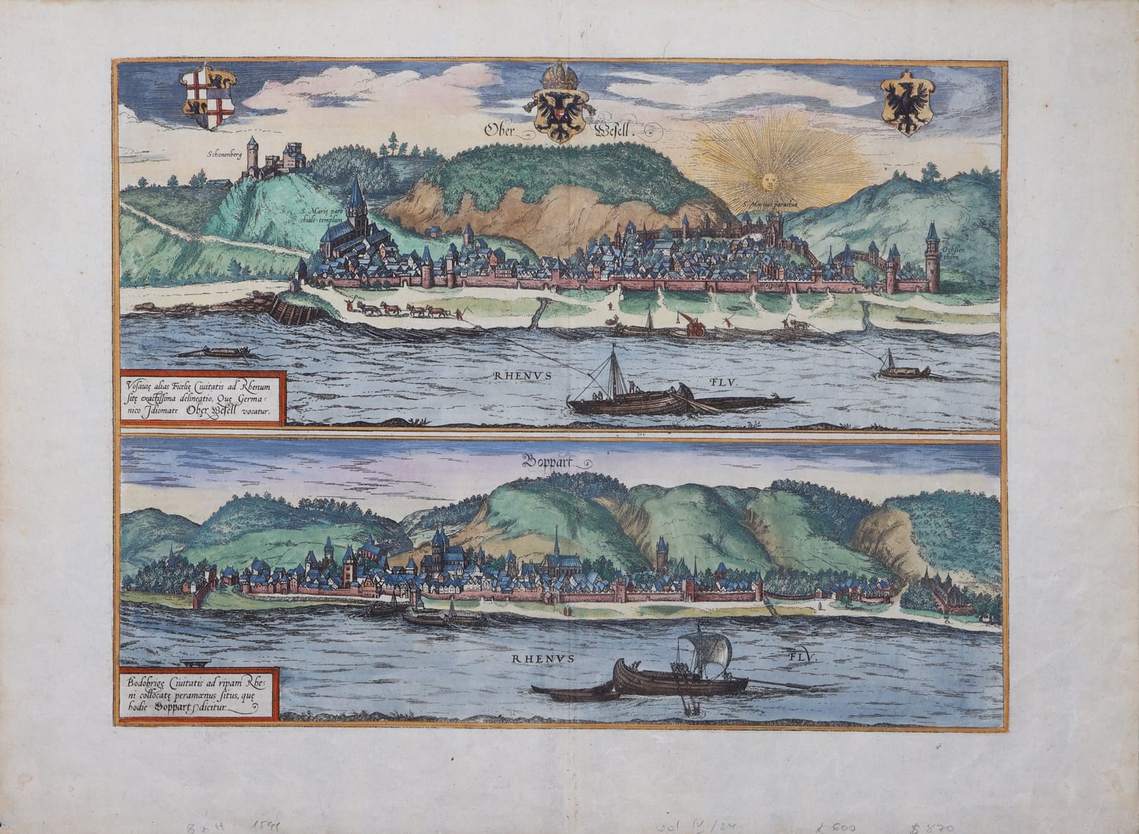
Ober Wesell / Boppart (Oberwesel and Boppard on the Rhine)
BRAUN, Georg and HOGENBERG, Frans · Cologne · Georg Braun and Frans Hogenberg · from the Civitates orbis terrarum (Cologne, from 1572)
Braun and Hogenberg's two long views of Oberwesel and Boppard on the Middle Rhine, with boats being towed upstream and the imperial arms; in old colour, with the Latin text on the verso.
FM-0280
€ 650
All prices include VAT. Import duties outside the EU are not included.
Free insured shipping. The price shown is the price you pay.
Key Properties
Source: Civitates orbis terrarum
Technique: Copper engraving, old hand-colour
Text: Latin texts 'Wesalia' and 'Bopardia' on the verso, page number 24
Region: Oberwesel and Boppard, Middle Rhine, Germany
Condition
Old hand-colour. Good margins. Light browning; old pencil notes in the lower margin.
References & Bibliography
Van der Krogt, Koeman's Atlantes Neerlandici, vol. IV (Braun & Hogenberg, Civitates orbis terrarum).
Fauser, Repertorium älterer Topographie (1978).
Füssel (ed.), Braun & Hogenberg, Cities of the World (Taschen, 2008).
Description
Two views of the walled towns of the Middle Rhine, one above the other. Oberwesel lies along the river below its vineyards, with the church of Our Lady, the castle of Schönburg on the hill and the Ochsenturm at the end of the walls, under a radiant sun; horses tow a barge upstream along the bank. Below, Boppard stretches along the left bank at the foot of the wooded hills, with its churches and towers and boats on the river. The arms of the Empire and of the archbishopric of Trier mark the towns' allegiance.
The Latin text on the verso recounts how both imperial towns were pledged by Emperor Henry VII to his brother Baldwin, Archbishop of Trier, and so passed to the archbishopric, and describes their churches and monasteries.
Historical Significance
The Civitates orbis terrarum, edited by Georg Braun and engraved largely by Frans Hogenberg in Cologne from 1572 onwards, was the first great atlas of town views and plans. The views of the Rhine towns are among the most attractive in the work.