Antique Views
Augustodunum (Autun) / Noviodunum (Nevers)
BRAUN, Georg and HOGENBERG, Frans · Cologne · Georg Braun and Frans Hogenberg · from the Civitates orbis terrarum (Cologne, from 1572)
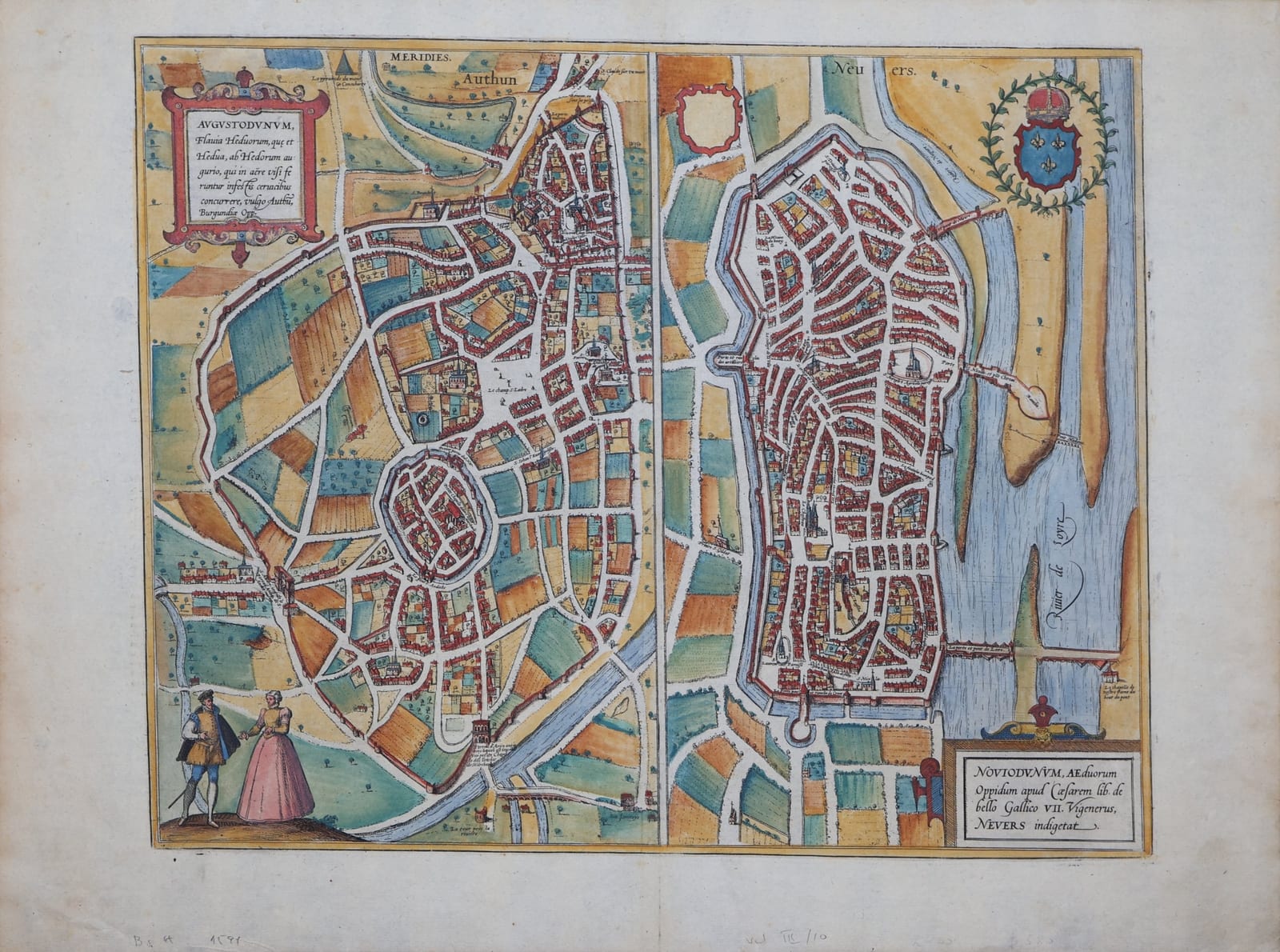
Braun and Hogenberg's plans of Autun and Nevers in Burgundy side by side, with a French couple in costume and the royal arms; in old colour, with the Latin text on the verso.
FM-0281
€ 450
All prices include VAT. Import duties outside the EU are not included.
Free insured shipping. The price shown is the price you pay.
Key Properties
Source: Civitates orbis terrarum
Technique: Copper engraving, old hand-colour
Text: Latin texts 'Augustodunum' and 'Noviodunum' on the verso, page number 10
Region: Autun and Nevers, Burgundy, France
Condition
Old hand-colour. Good margins. Light browning and a few small spots; old pencil notes in the lower margin.
References & Bibliography
Van der Krogt, Koeman's Atlantes Neerlandici, vol. IV (Braun & Hogenberg, Civitates orbis terrarum).
Fauser, Repertorium älterer Topographie (1978).
Füssel (ed.), Braun & Hogenberg, Cities of the World (Taschen, 2008).
Description
Two plans of towns of Burgundy on one sheet. On the left Autun, the Roman Augustodunum, its old walled upper town with the cathedral of Saint-Lazare set within the wide circuit of the Roman walls, much of it gardens and fields, with a couple in costume below. On the right Nevers on the Loire, a dense walled town with its long bridge across the river and the crowned arms of France.
The Latin text on the verso describes Autun's antiquities and churches, among them the relics of Saint Lazarus, and Nevers with its strong walls, its stone bridge of twenty arches over the Loire and its many religious houses.
Historical Significance
The Civitates orbis terrarum, edited by Georg Braun and engraved largely by Frans Hogenberg in Cologne from 1572 onwards, was the first great atlas of town views and plans.