Science
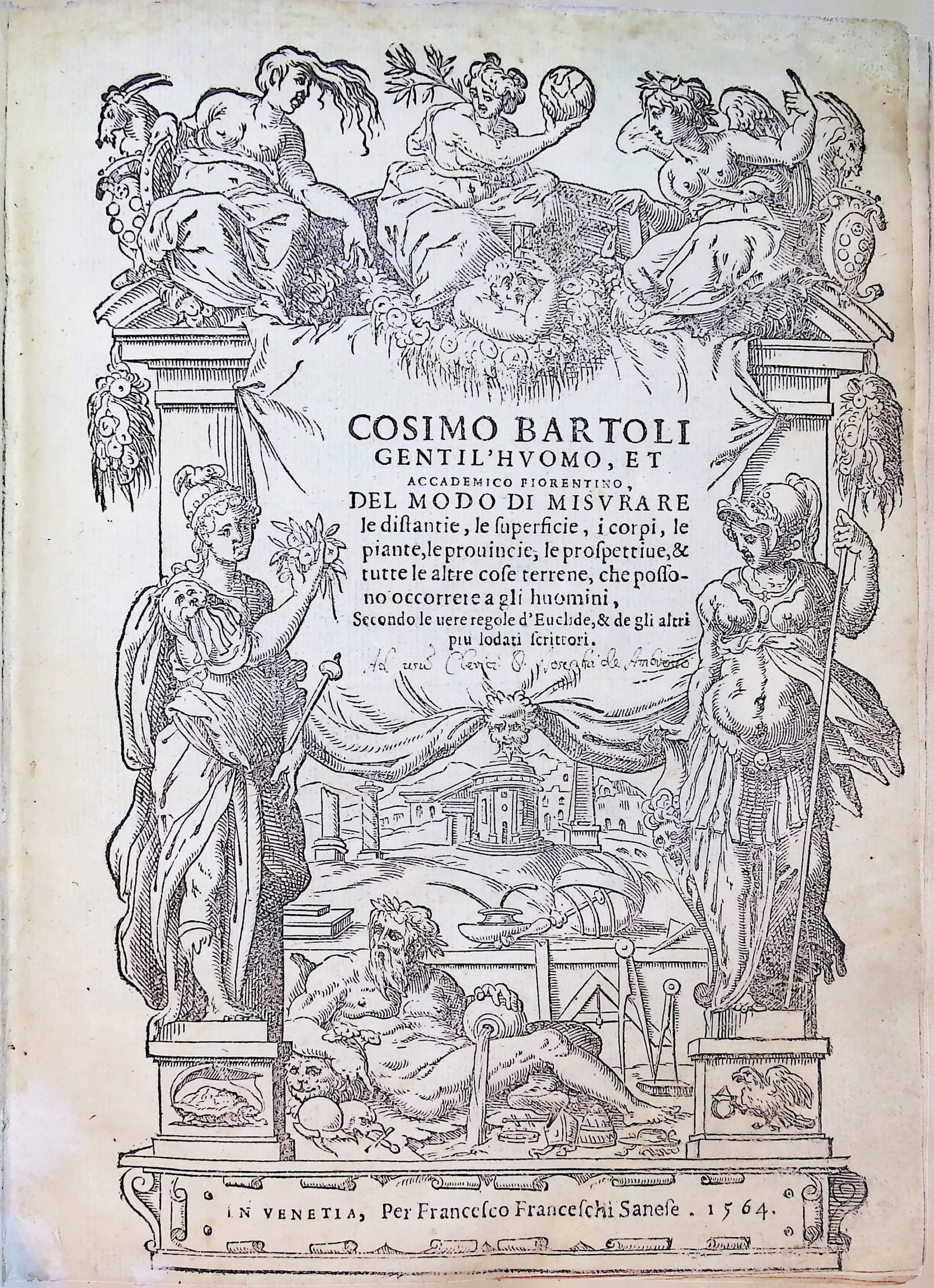
Del modo di misurare le distantie, le superficie, i corpi, le piante, le provincie, le prospettive, & tutte le altre cose terrene, che possono occorrere a gli huomini, secondo le vere regole d'Euclide
BARTOLI, Cosimo · Venice · Francesco Franceschi · 1564
First edition of Cosimo Bartoli's richly illustrated treatise on surveying, mapping and practical geometry, with the woodcut portrait of the author.
FM-0290
€ 2.250
All prices include VAT. Import duties outside the EU are not included.
Free insured shipping. The price shown is the price you pay.
Key Properties
Edition: First edition
Format: Quarto, 220 x 160 mm
Collation: Leaves [4], 141, [3] (according to the seller's description)
Illustration: Woodcut architectural title, full-page portrait of the author, numerous woodcut diagrams and figures in the text, 2 folding plates, 4 pages of tables of square roots
Binding: Period-style full brown calf, blind-tooled, author and title on the upper cover
Collation & Technical Description
Leaves [4], 141, [3]. Architectural title, full-page portrait, numerous woodcut illustrations in the text, 2 folding plates and 4 pages of square-root tables (according to the seller's description).
Condition
Bound in period-style full brown calf, blind-tooled, with author and title stamped on the upper cover. Traces of use, scattered foxing and some browning.
References & Bibliography
Cicognara I, 421.
Riccardi I, 90.
Gamba 1248.
Mortimer, Italian 16th Century Books, 45.
Smith, Rara Arithmetica, p. 315 (note).
BMC 73.
Berlin Katalog 1701.
Kiely, Surveying Instruments, p. 190.
Description
Cosimo Bartoli (1503-1572), the Florentine humanist who translated Alberti's writings on architecture into Italian, turned in this book to the measurement of the world around him. Written in Italian for practitioners rather than scholars, it brings together what Bartoli had learned from the mathematicians he had studied and translated, among them Gemma Frisius, Apian, Dürer, Alberti, Oronce Finé, Stöffler and Peurbach, and applies it to the everyday problems of the surveyor, the engineer and the mapmaker.
The first book deals with measuring heights, depths and distances; the second and third with plane geometry; the fourth with surveying and mapping, including the construction and use of the compass; the fifth gives Euclidean demonstrations of the measurements in the first book; and the sixth treats square roots. Bartoli also discusses perspective and geometrical projection. The woodcuts show the instruments and methods of sixteenth-century surveying in practice, and the volume opens with an architectural title and a full-page woodcut portrait of the author, which Cicognara noted as a feature of this first edition.
Historical Significance
One of the best sixteenth-century treatises on practical geometry and surveying, and an important source for the instruments and methods used to measure land and draw maps in Renaissance Italy.