Antique Maps
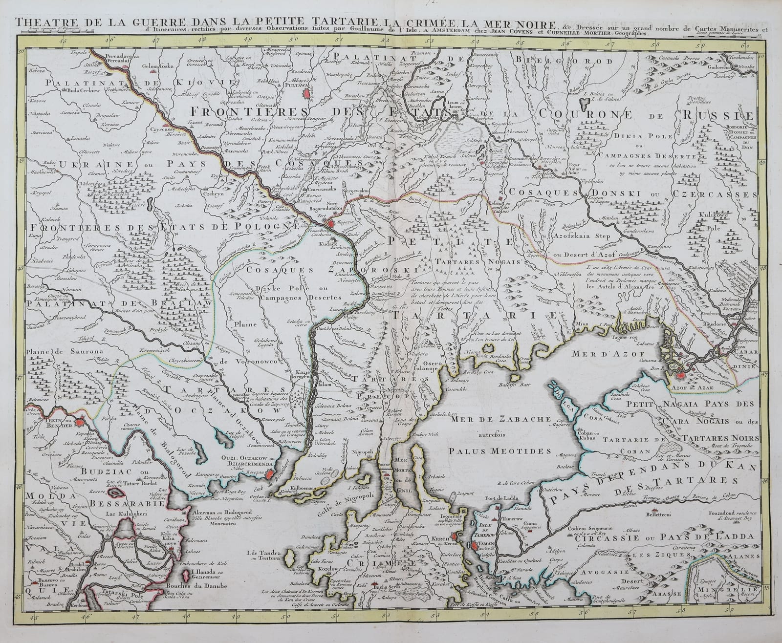
Little Tartary, the Crimea and the northern Black Sea
L'ISLE, Guillaume de · Amsterdam · Jean Covens and Corneille Mortier · c. 1744
De l'Isle's map of Little Tartary, the Crimea and the northern coast of the Black Sea, in the Amsterdam edition of Covens and Mortier, with original outline colour.
FM-0300
€ 550
All prices include VAT. Import duties outside the EU are not included.
Free insured shipping. The price shown is the price you pay.
Key Properties
Region: Little Tartary, Crimea, northern Black Sea
Technique: Copper engraving, original outline colour
Size: sheet c. 66 x 54 cm (26 x 21 1/4 in)
From: De l'Isle, Nouvel atlas, Amsterdam, Covens & Mortier, c. 1744
Condition
Very good to excellent (according to the seller's general report); possible occasional tears, creases or minor offsetting from the fold.
References & Bibliography
Koeman, C., Atlantes Neerlandici (Covens & Mortier).
Description
The lands north of the Black Sea, the Crimean khanate and the steppe of the Nogai Tatars, were a frontier between the Ottoman, Russian and Polish worlds in the eighteenth century, and the subject of repeated wars. De l'Isle's map shows Little Tartary, the Crimea and the northern coast of the Black Sea.
Guillaume de l'Isle (1675-1726), son of a cartographer and a pupil of Jean-Dominique Cassini, brought the astronomical observations of the Paris Observatory into geography and set new standards of accuracy, revising his maps constantly. After his death his maps were reissued in Amsterdam by Jean Covens and Corneille Mortier, who made them available to a far wider public.
Historical Significance
An eighteenth-century map of the Crimea and the northern Black Sea by the leading French geographer of his time.