Voyages & Discovery
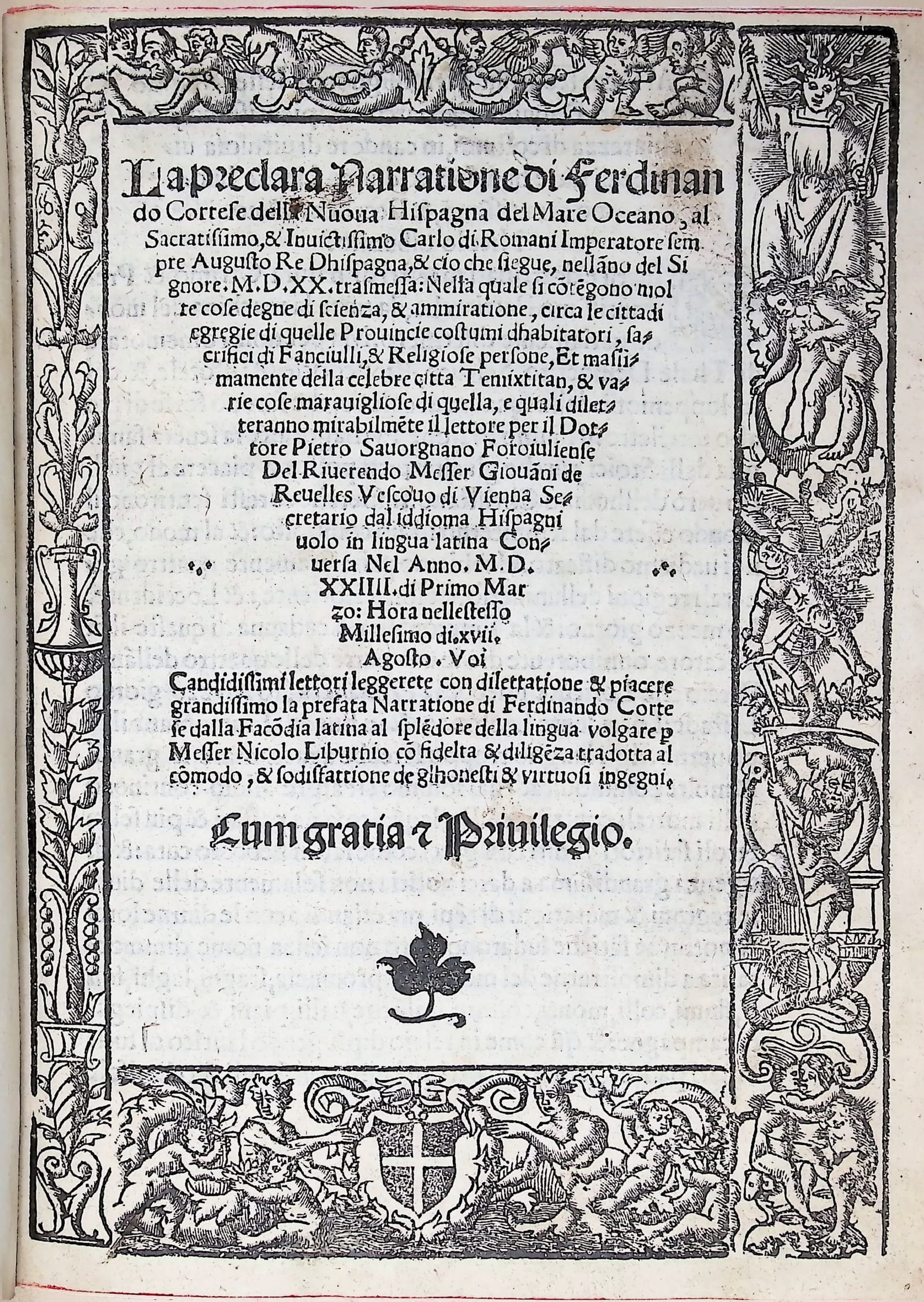
La preclara Narratione di Ferdinando Cortese della Nuova Hispagna
Hernán Cortés · Venice · Bernardino de Viano · 20 August 1524
First Italian edition of Cortés's Second Letter on the conquest of Mexico (Venice, Bernardino de Viano, 20 August 1524), with the first printed map of the Gulf of Mexico and the plan of Temixtitan.
FM-0029
Sold
Key Properties
Quarto. Recased in 17th-century full calf, raised bands, simple tooling. Collation: 4 unnumbered leaves + 70 unnumbered leaves. Woodcut engraved border to the title page. With the folding map of the Gulf of Mexico and plan of Temixtitan (Tenochtitlan). Contains the first printed map of the Gulf of Mexico; the map is also the second ever to name "la Florida".
Collation & Technical Description
4 nn. lvs; 49 lvs; 1 genuine blank; 12 lvs. One folding map (the Gulf of Mexico and the plan of Mexico City, Temixtitan). Title-page within woodcut borders; coat of arms; portrait of Pope Clement VII.
Condition
Leaf F6 and the folding map supplied in printed facsimile on contemporary paper. Otherwise a sound copy in 17th-century full calf.
References & Bibliography
Harrisse 129; Sabin 16951.
Description
The first Italian edition of Cortés's Second Letter (the carta de relación of 30 October 1520) to the Emperor Charles I, his most important letter, relating the conquest of Mexico. The first edition had appeared in Spanish at Seville in 1522, without a map. This book is important as it documents Cortés's conquest of Mexico in detail and contains the first printed map ever of the Gulf of Mexico. The only map of that Gulf preceding this one is the manuscript map of de Pineda of 1519, probably the model for this one. The Peter Martyr map of 1511 is regarded as a map of the northern coasts of South America. The map in this Venetian imprint is also the second map ever to name "la Florida", the first being the Nuremberg edition of the same Cortés letter, printed five months earlier.
Historical Significance
A foundational printed source for the European discovery and conquest of Mexico. Its folding map is the first printed map of the Gulf of Mexico and the second map to name "la Florida".
Provenance
Available on request.