Antique Maps
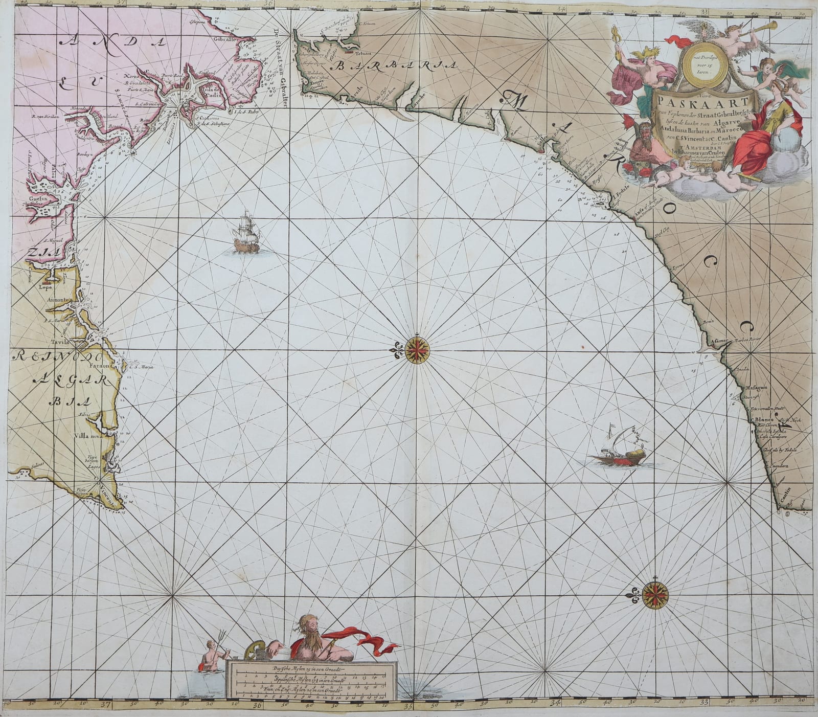
Sea chart of the Strait of Gibraltar
KEULEN, Johannes and Gerard van · Amsterdam · Gerard van Keulen · 1708-1709
Van Keulen's chart of the Strait of Gibraltar and the coasts of Spain and Morocco from the Groote Nieuwe Vermeerderde Zee-Atlas, in original colour.
FM-0303
€ 1.450
All prices include VAT. Import duties outside the EU are not included.
Free insured shipping. The price shown is the price you pay.
Key Properties
Region: Strait of Gibraltar, southern Spain and the coast of Morocco
Technique: Copper engraving, original hand colour
Size: sheet c. 63.5 x 53 cm (25 x 21 in)
From: De Groote Nieuwe Vermeerderde Zee-Atlas, Amsterdam, 1708 (1709)
Condition
Very good to excellent overall (according to the seller's general report on the atlas from which it comes).
References & Bibliography
Koeman, C., Atlantes Neerlandici, vol. IV (Van Keulen, Zee-Atlas).
Description
A chart of the gateway between the Atlantic and the Mediterranean, with the coasts of Andalusia and Morocco, compass roses and rhumb lines, ships, and an allegorical cartouche.
Johannes van Keulen (1654-1711) founded the firm 'In de Gekroonde Lootsman' in Amsterdam and, with a privilege from the States of Holland and West Friesland, published the largest and finest sea atlases of the Dutch Republic. His son Gerard van Keulen (1678-1726), engraver, mathematician and from 1714 hydrographer to the Dutch East India Company, took over in 1704 and enlarged the Zee-Atlas to 185 charts by 1709. The firm remained in the family until 1885.
Historical Significance
A chart from the great Dutch sea atlas of the early eighteenth century, in original colour.