Antique Maps
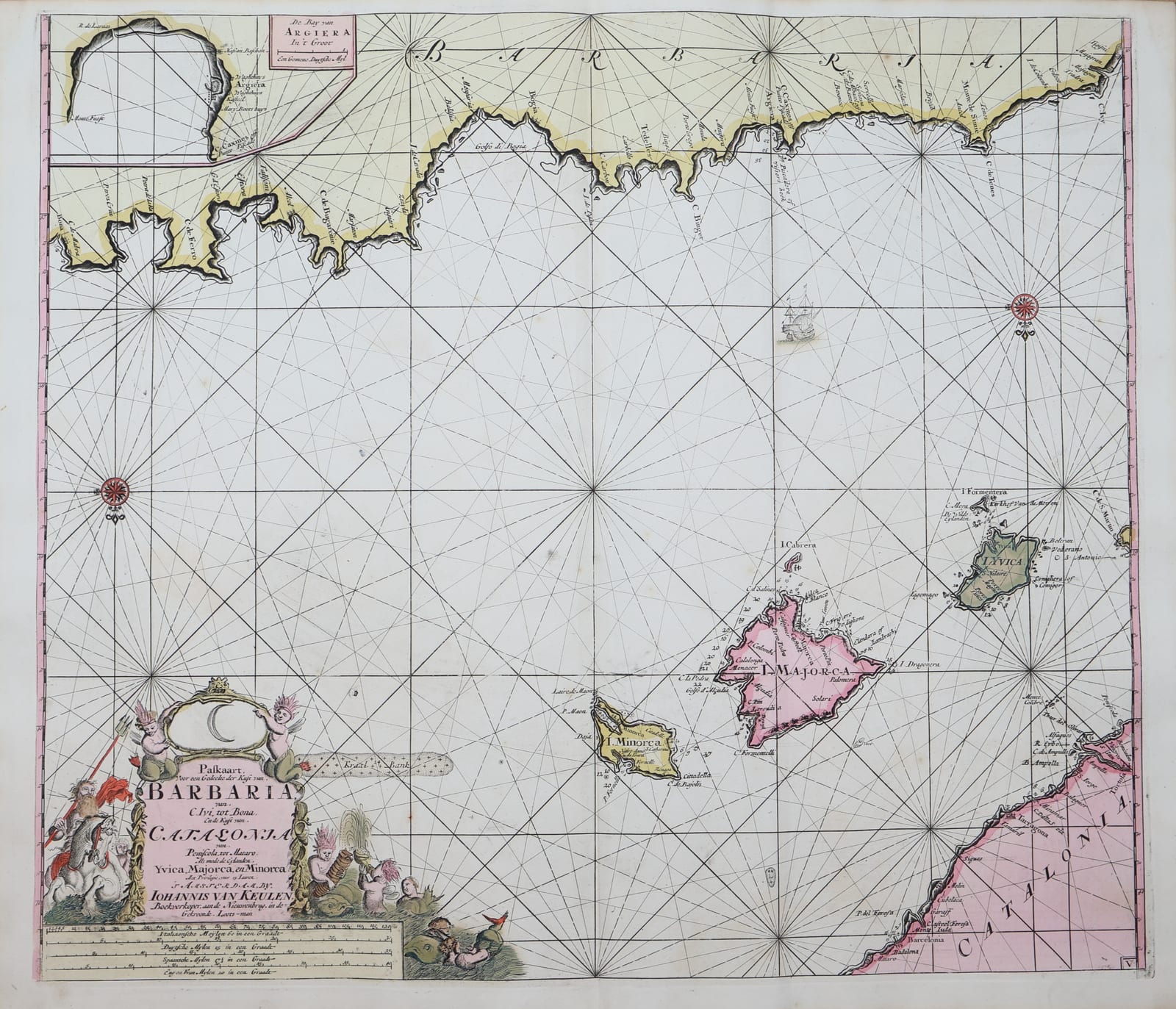
Sea chart of Majorca, Catalonia and the Barbary Coast
KEULEN, Johannes and Gerard van · Amsterdam · Gerard van Keulen · 1708-1709
Van Keulen's chart of the western Mediterranean between Catalonia, the Balearic Islands and the coast of Barbary, from the Groote Nieuwe Vermeerderde Zee-Atlas, in original colour.
FM-0304
€ 1.450
All prices include VAT. Import duties outside the EU are not included.
Free insured shipping. The price shown is the price you pay.
Key Properties
Region: Catalonia, the Balearic Islands (Majorca, Minorca, Ibiza) and the Barbary coast
Technique: Copper engraving, original hand colour
Size: sheet c. 63.5 x 53 cm (25 x 21 in)
From: De Groote Nieuwe Vermeerderde Zee-Atlas, Amsterdam, 1708 (1709)
Condition
Very good to excellent overall (according to the seller's general report on the atlas from which it comes).
References & Bibliography
Koeman, C., Atlantes Neerlandici, vol. IV (Van Keulen, Zee-Atlas).
Description
A chart of the western Mediterranean, with the coast of Catalonia, the Balearic Islands and the coast of North Africa, crossed by rhumb lines and decorated with a figurative cartouche.
Johannes van Keulen (1654-1711) founded the firm 'In de Gekroonde Lootsman' in Amsterdam and, with a privilege from the States of Holland and West Friesland, published the largest and finest sea atlases of the Dutch Republic. His son Gerard van Keulen (1678-1726), engraver, mathematician and from 1714 hydrographer to the Dutch East India Company, took over in 1704 and enlarged the Zee-Atlas to 185 charts by 1709. The firm remained in the family until 1885.
Historical Significance
A chart from the great Dutch sea atlas of the early eighteenth century, in original colour.