Antique Maps
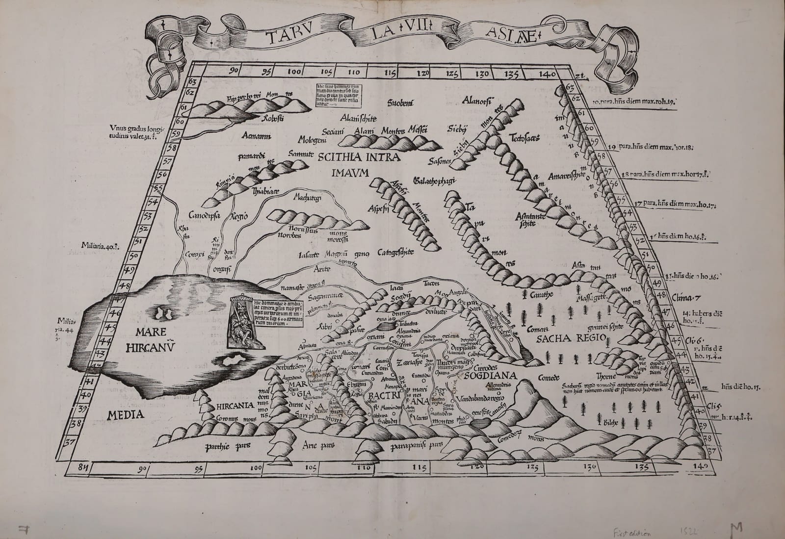
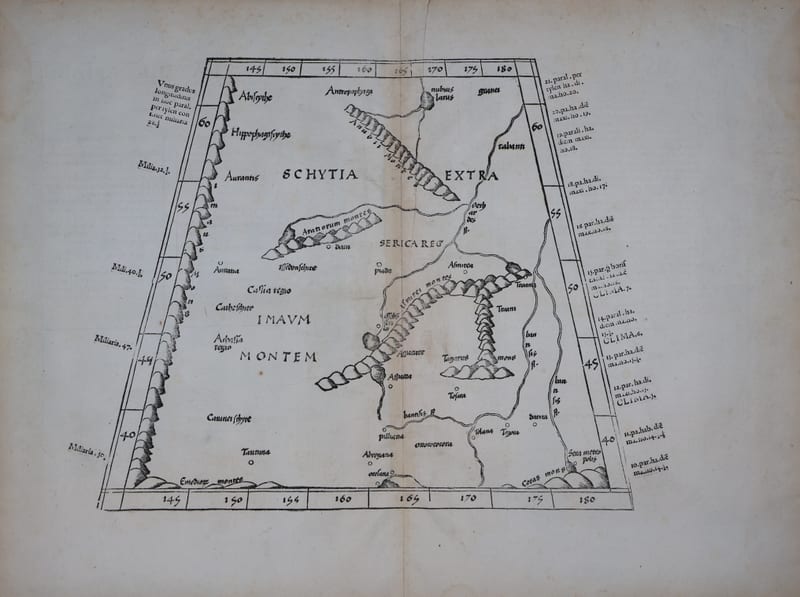
Tabula VIII Asiae: Scythia extra Imaum Montem and Serica (Central Asia and the land of silk)
PTOLEMAEUS, Claudius, and Lorenz FRIES · Strasbourg · Johann Grüninger · 1522
Ptolemy's eighth map of Asia, Scythia beyond the Imaus and Serica, the land of silk, in the reduced woodcut version of Lorenz Fries from the first Fries edition of the Geographia, Strasbourg 1522, with the richly ornamented text on the verso
FM-0182
€ 1.250
Key Properties
Edition: First edition of the Ptolemy of Lorenz Fries, Strasbourg, Johann Grüninger, 1522; the blocks were reused in 1525 (Strasbourg), 1535 (Lyon) and 1541 (Vienne)
Language: Latin
Format: Woodcut on laid paper, double-page, with the customary central fold
Dimensions: Sheet 37 x 54 cm (height x width)
Colouring: Uncoloured, as issued
Collation & Technical Description
A double-page woodcut map within a graduated trapezoidal border, the Ptolemaic projection with the degrees of longitude along the top and bottom and of latitude at the sides, the climates and the lengths of the longest day noted in the margins. It shows Scythia extra Imaum Montem, the lands beyond the Imaus mountains, and Serica, the land of silk, with the mountain ranges rendered as chains of hummocks, the rivers, regions and peoples named in the classical manner, from the Asmiraea and Casii mountains to the Serica Regio and the Sinae. On the verso the descriptive text to Tabula VIII Asiae (Gaudent Scytharum gentes caede humana...) and to Tabula VII Asiae, each headed in large roman capitals, set within elaborate Renaissance woodcut borders of columns, candelabra, figures and grotesques, with a large decorated initial.
Condition
A fine example: a strong, even impression with broad margins, the usual central fold from its insertion in the atlas, only the faintest age-toning and a little light staining towards the upper margin. Uncoloured, as issued.
References & Bibliography
Karrow, Mapmakers of the Sixteenth Century and their Maps, 28/57 (Fries). Shirley, Maps in the Atlases of the British Library, on the 1522 Fries Ptolemy. Nordenskiöld, Facsimile-Atlas to the Early History of Cartography, on the Ptolemy editions.
Description
The eighth map of Asia in Ptolemy's Geographia covers the north-eastern extremity of the world known to antiquity: Scythia beyond the Imaus, the great mountain barrier that Ptolemy placed across the heart of Asia, and Serica, the land of the silk-producing Seres, the ancient West's name for the interior of China as reached by the overland caravan routes. It is the map of the Silk Road as the second century imagined it, the eastern edge of the Ptolemaic world.
The present version is the reduced woodcut prepared by Lorenz Fries for the Ptolemy published at Strasbourg by Johann Grüninger in 1522, the first of the four Fries editions. Fries, a physician and follower of Waldseemüller, redrew the maps of the great Strasbourg Ptolemy of 1513 on a smaller scale for a more affordable book; his blocks served again in the Strasbourg edition of 1525 and, after they had passed to the Trechsel press, in the editions of Lyon 1535 and Vienne 1541 edited by Michael Servetus. The present sheet is from the first edition of 1522.
What makes the Fries sheets particularly attractive is the verso: the Latin text describing the regions of the map is set within elaborate Renaissance woodcut borders of columns, candelabra, figures and grotesques, so that the leaf is as fine a piece of early sixteenth-century book design as it is a map.
We also hold an example of the same map from the Lyon edition of 1535 (FM-0183); the two sheets show the changes in the text and its setting between the Strasbourg and the Lyon editions.
Historical Significance
The Ptolemaic maps of Asia were the framework within which Europe understood the East on the eve of the great discoveries: it was this Serica, and the Sinae to its south, that Columbus expected to reach by sailing west. Fries's Ptolemy of 1522 was one of the first atlases to add modern maps of the new discoveries to the ancient ones, so that the Ptolemaic image of the far East and the first maps of America appeared side by side in the same book.
Provenance
Available on request.
Related works
Voyages & Discovery · FM-0023
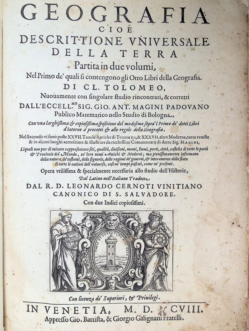
GEOGRAFIA
Claudius Ptolemaeus (Ptolemy) · Venice · 1597–1598
€ 15.000
Cartography · FM-0056
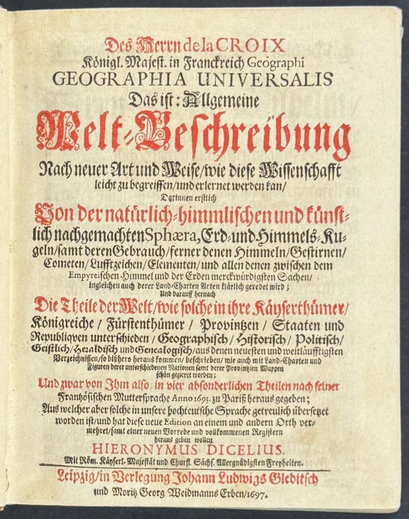
Geographia Universalis, Allgemeine Welt-Beschreibung
Antoine Pherotée de la Croix · Leipzig · 1697
€ 3.500
Antique Maps · FM-0020
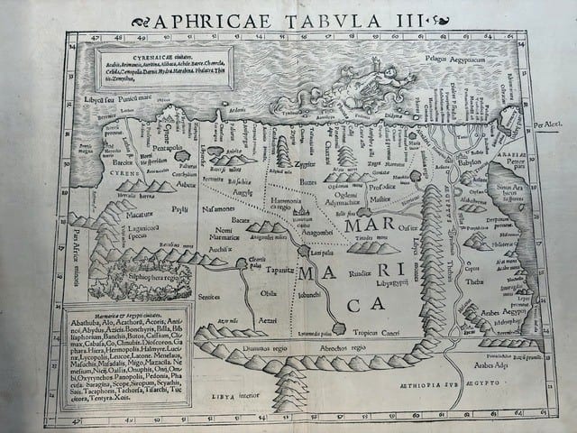
FOUR SIXTEENTH-CENTURY REGIONAL MAPS OF AFRICA
Laurent Fries; Sebastian Münster; Giovanni Antonio Magini & Girolamo Porro · Strasbourg, Basel and Venice · 1525–1597
€ 2.200
Antique Maps · FM-0183
Tabula VIII Asiae: Scythia extra Imaum Montem and Serica (Central Asia and the land of silk), Lyon 1535
PTOLEMAEUS, Claudius, and Lorenz FRIES · Lyon · 1535
€ 1.000
All 12 works: Ptolemy, the printed Geographia →