Voyages & Discovery
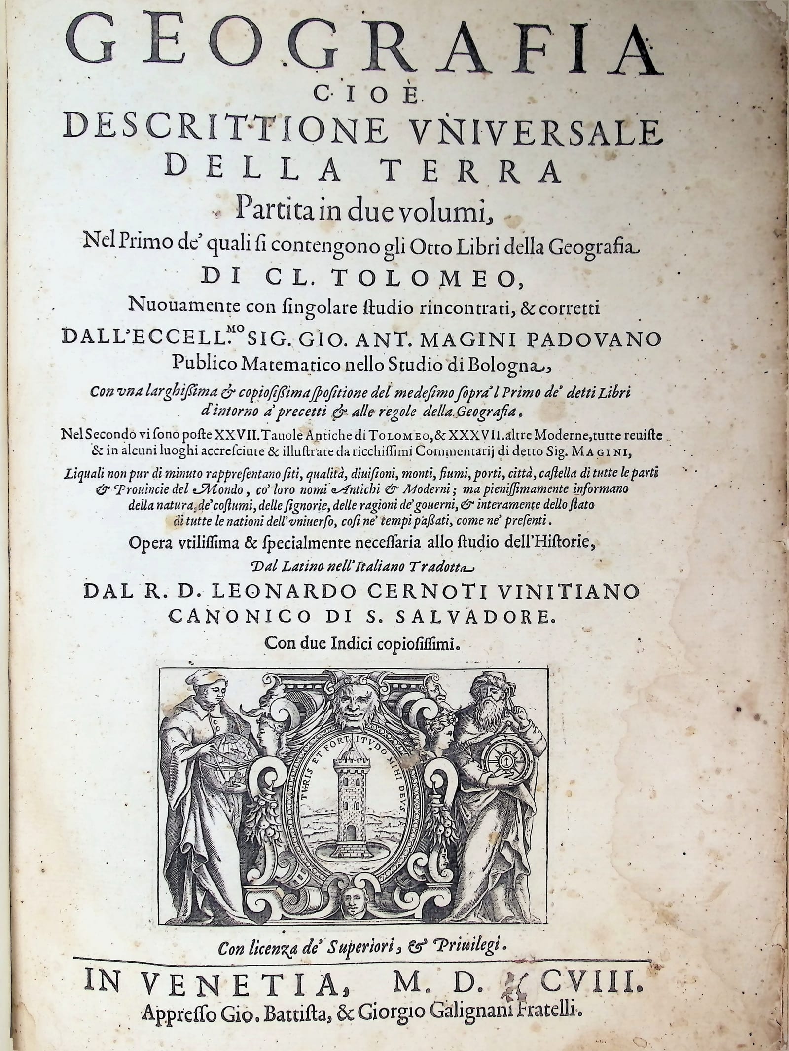
GEOGRAFIA
Claudius Ptolemaeus (Ptolemy) · Venice · Gio. Battista & Giorgio Galignani Fratelli · 1597–1598
cioe Descrittione Universale della Terra partita in due volumi
FM-0023
€ 15.000
Key Properties
Edition: First Italian edition of Magini's Ptolemy, translated by Leonardo Cernoti
Language: Italian
Binding: 20th-century vellum over boards, manuscript title on spine
Collation & Technical Description
Two parts in one folio volume. Leaves: [2], 62, 21, 1 blank, [14]; 212 including title-page, [30].
Two title pages with engraved vignettes; italic and roman type; woodcut initials, head- and tail-pieces; numerous woodcut illustrations and diagrams in the text.
Illustrated with a total of 64 copper-engraved maps by Girolamo Porro, comprising 27 Ptolemaic maps of the ancient world and 37 modern maps: 4 world maps (including the full-page world map and the celebrated Orbis Terrae Compendiosa Descriptio after Mercator’s double-hemisphere projection), 1 map of America, 32 maps of Europe, 6 maps of Africa, and 21 maps of Asia. The name of the engraver appears on the title page of the second volume.
This is the SBN variant B, with the planisphere plate inserted between leaves D1 and D2. Complete, all 64 maps present. A copy with wide margins.
Condition
Bound in 20th-century vellum over boards with squares, manuscript title on spine. The binding is clean and sound.
The text block is complete with all 64 copper-engraved maps present. The title page and preliminary leaves show some yellowing; light foxing and occasional stains throughout the text, consistent with Italian paper stock of the late sixteenth century. A small restoration to the upper corner of leaf Q3. The maps are clean with strong, well-printed impressions.
A good, complete copy with wide margins, an important feature indicating that the copy has not been trimmed or rebound to a smaller size.
References & Bibliography
Alden 598/83.
Sabin 66506.
Phillips, Atlases, 405.
Adams M-118.
Shirley, R.W., The Mapping of the World: nos. 193, 194, 195, 196 and p. XXIX.
Shirley, R.W., Maps in the Atlases of the British Library: T.PTOL-12b.
Burden, P.D., The Mapping of North America: no. 93.
Shirley singles out the double-hemisphere world map Orbis Terrae Compendiosa Descriptio, derived from Mercator, as “an exceptionally fine engraving in its own right.” This is the last major Ptolemaic atlas of the sixteenth century.
Description
Giovanni Antonio Magini (Padua, June 1555 – Bologna, 11 February 1617) held the chair of mathematics at the University of Bologna for nearly thirty years, and he won it against Galileo Galilei. When the chair fell vacant on the death of Egnazio Danti, both men stood; on 4 August 1588 the Senate of Bologna chose Magini, who had the backing of Christoph Clavius of the Collegio Romano. Posterity has treated this as an embarrassment, but at the time it was defensible: Magini was nine years the elder and had already published two substantial astronomical works, while Galileo, then twenty-four, had published nothing at all. His Ephemerides of 1582, computed on Reinhold’s Prutenic tables rather than the Alphonsine, were reckoned the finest of their kind in Italy; his Novae coelestium orbium theoricae of 1589 defended the geocentric universe not by removing spheres but by adding them, arriving at eleven. He introduced the terms cosine, cotangent and cosecant into trigonometry, and helped establish the decimal point in European practice.
Magini began work on Ptolemy around 1590 and the Latin edition appeared six years later, in 1596, from the heirs of Simone Galignani in Venice. He prepared it as both a scholarly commentary on the ancient text and a practical atlas of the contemporary world. The present Italian translation by Leonardo Cernoti was made from that Latin edition and issued by the Galignani brothers, Giovanni Battista and Giorgio, using the same copper plates.
The first volume, in eight books, contains the general principles of geography, the rules for the construction of geographical maps, and a catalogue of regions and places, enriched throughout with Magini’s commentary — most fully on the first book, which treats the discipline itself. The second volume opens with the twenty-seven Ptolemaic plates of the ancient world, derived from those engraved by Girolamo Ruscelli, followed by thirty-seven modern maps finely engraved in copper by Girolamo Porro of Padua on the model of those by Giacomo Gastaldi. Porro was the most meticulous engraver in Venice, and his plates outlived everyone concerned: they remained in use until 1713.
Among the modern maps, the world map for use by navigators and the famous Orbis Terrae Compendiosa Descriptio deserve particular attention. The latter, taken from Mercator’s double-hemisphere projection, is described by Shirley as “an exceptionally fine engraving in its own right.” Nine of the maps relate in part or in whole to the Americas.
The Italian translation made Ptolemy’s geographical science accessible to a broader readership beyond the Latin-educated scholarly elite, at a moment when Venice was the undisputed centre of European map production and the publishing trade.
Historical Significance
Magini’s Ptolemy holds a singular position in the history of cartography as the last great Ptolemaic atlas, published at the very moment when the Ptolemaic tradition was being superseded by the modern atlas format pioneered by Abraham Ortelius (1570) and Gerard Mercator (1595).
The work documents the most significant geographical discoveries of the end of the sixteenth century. By 1597, the great voyages of discovery had fundamentally reshaped geographical knowledge: the Americas had been explored and mapped, the sea routes to the East Indies charted, and the coastlines of Africa circumnavigated. Magini’s atlas captures this transformation by juxtaposing Ptolemy’s ancient world, a world that ended at the Ganges, with modern maps reflecting over a century of exploration and discovery.
The Porro maps are admired for their elegant execution on a compact scale, and are considered superior in quality to those of the earlier Ruscelli editions (1561–98). Complete copies with all 64 maps intact are increasingly scarce on the market, as many have been broken up for the sale of individual maps.
Magini’s own great undertaking was the first atlas of Italy. He began gathering material around 1594 and spent the rest of his life on it, assembling sixty regional maps of which no more than a fifth rest on existing printed sources; the remainder came from unpublished manuscript surveys he coaxed out of courts and surveyors across the peninsula. The engraving was a catalogue of disasters, which he recorded himself: the Flemish brothers who began the work were lost, one lured away to Siena and the other invalided home; a German replacement drowned the day after he was engaged; a Venetian engraver went mad on receiving the first map; and the Londoner Benjamin Wright, who finished the plates, was a drunkard and a gambler who pawned several of them. Magini died in 1617 with the atlas still unprinted. His son Fabio, then eighteen, published it at Bologna in 1620, and it was not surpassed until the end of the century — Hondius, Blaeu and Jansson all drew on it.
He was also the man who could not see Jupiter’s moons. In April 1610, weeks after the Sidereus Nuncius appeared, Galileo broke his journey at Bologna and stayed in Magini’s house. On the evening of the twenty-fourth the learned men assembled there looked through the telescope and none of them saw the satellites. Magini’s assistant Martin Horky wrote gleefully to Kepler that the instrument worked wonders on earth but failed in the heavens, that Galileo had tried to hawk a fable, and — less gleefully for his employer — that he had secretly taken wax impressions of the lenses. When Horky published his attack, Magini disowned the book, threw him out of the house and wrote to Galileo to say he had no part in it. By September of the same year Magini had learned to use a telescope, accepted the observations, and set about computing ephemerides for the moons of Jupiter.
Provenance
Heraldic ex libris of Count Sanminiatelli, pasted to the inside front cover.
The Sanminiatelli are a Tuscan noble family of long standing, ascribed to the nobility of Pisa by decree in 1754. The family maintained a distinguished private library reflecting their deep engagement with Italian arts and letters. The most prominent twentieth-century member of the family, Count Bino Sanminiatelli (Fabio Luigi Francesco Maria, 1896–1984), was a Futurist draughtsman and writer who co-founded the avant-garde magazine Noi in 1917; his collection of drawings was donated to the Gallerie degli Uffizi in Florence.
The present copy comes from the Sanminiatelli family library, as evidenced by the heraldic bookplate bearing the family arms on the inside front cover.,
Related works
Cartography · FM-0056
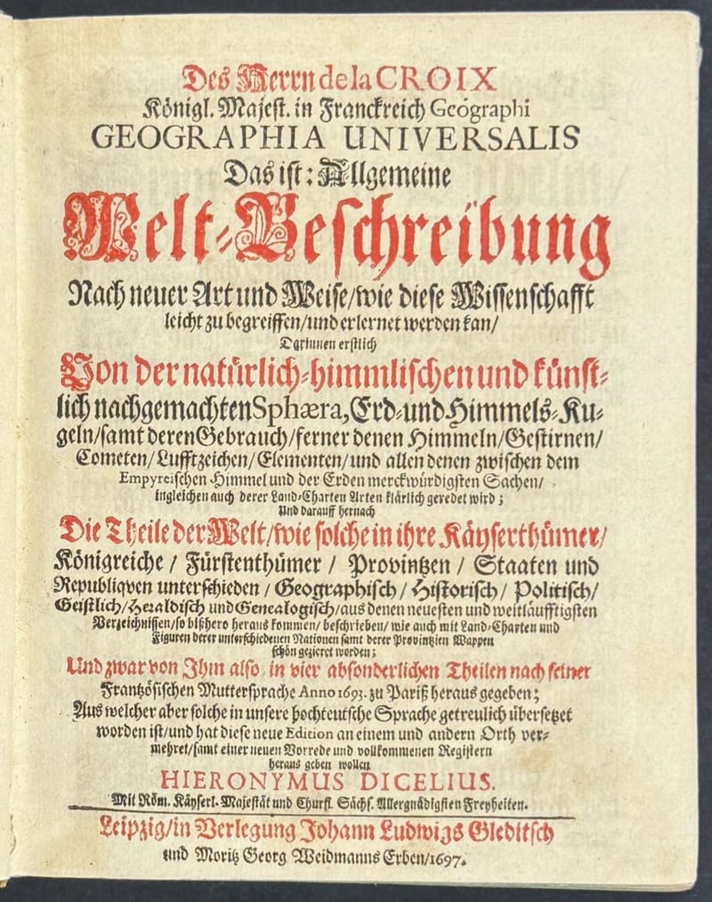
Geographia Universalis, Allgemeine Welt-Beschreibung
Antoine Pherotée de la Croix · Leipzig · 1697
€ 3.500
Antique Maps · FM-0020
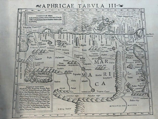
FOUR SIXTEENTH-CENTURY REGIONAL MAPS OF AFRICA
Laurent Fries; Sebastian Münster; Giovanni Antonio Magini & Girolamo Porro · Strasbourg, Basel and Venice · 1525–1597
€ 2.200
Antique Maps · FM-0182
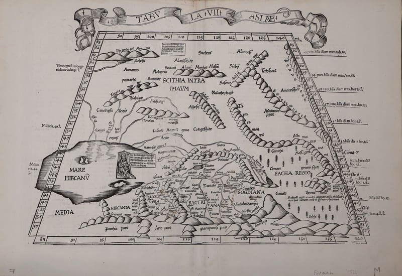
Tabula VIII Asiae: Scythia extra Imaum Montem and Serica (Central Asia and the land of silk)
PTOLEMAEUS, Claudius, and Lorenz FRIES · Strasbourg · 1522
€ 1.250
Antique Maps · FM-0183
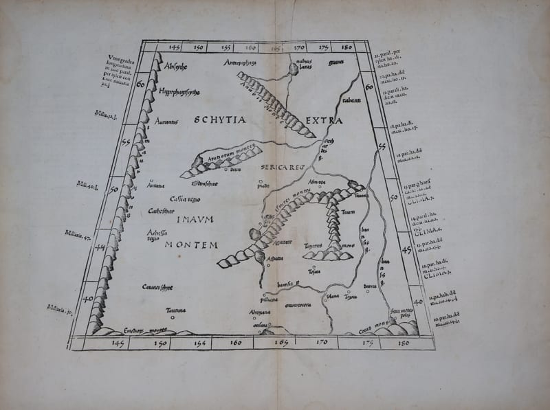
Tabula VIII Asiae: Scythia extra Imaum Montem and Serica (Central Asia and the land of silk), Lyon 1535
PTOLEMAEUS, Claudius, and Lorenz FRIES · Lyon · 1535
€ 1.000
All 12 works: Ptolemy, the printed Geographia →