Antique Maps
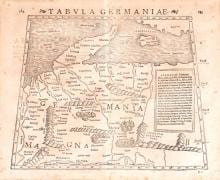
TABULA GERMANIAE
Sebastian Münster · Basel · Heinrich Petri · probably 1540
Sebastian Münster, Ptolemaic woodcut of Germania
FM-0011
€ 425
Key Properties
Edition: From the Geographia / Cosmographia
Language: Latin / German
Collation & Technical Description
Woodcut. Image approx. 27 × 33 cm; frame approx. 52 × 61.5 cm. A Renaissance interpretation of Central Europe in the classical tradition of Ptolemy; framed, verso not inspectable.
Condition
The photograph shows foxing, light discolouration and some cockling. The sheet is framed and the verso cannot be inspected.
References & Bibliography
Ptolemaic woodcut of Germania from S. Münster's Geographia / Cosmographia, Basel (issued c. 1540–1571).
Description
An early woodcut map of Germania in the classical geographical tradition of Ptolemy. The sheet shows not modern Germany in the strict sense, but a Renaissance interpretation of Central Europe.
The auction description dates the sheet to around 1550. The same woodcut, however, was also used later, including in editions of the 1560s and 1571. Without inspection of the verso the precise edition remains uncertain.
Its age and the recognisable name of Münster make the sheet of interest.
Notable features: Early Renaissance woodcut; Ptolemaic geography of Germania; Authentic sixteenth-century character.
Historical Significance
A Ptolemaic woodcut of Central Europe representing the sixteenth-century revival of classical geography in printed atlases.
Provenance
Not established.
Related works
Cartography · FM-0068
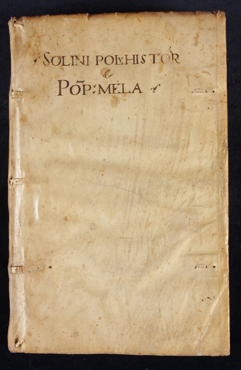
Polyhistor, rerum toto orbe memorabilium (with) Pomponius Mela, De situ orbis
C. Julius Solinus and Pomponius Mela · Basel · 1543
€ 7.000
Antique Maps · FM-0020
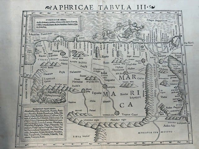
FOUR SIXTEENTH-CENTURY REGIONAL MAPS OF AFRICA
Laurent Fries; Sebastian Münster; Giovanni Antonio Magini & Girolamo Porro · Strasbourg, Basel and Venice · 1525–1597
€ 2.200
Antique Maps · FM-0007
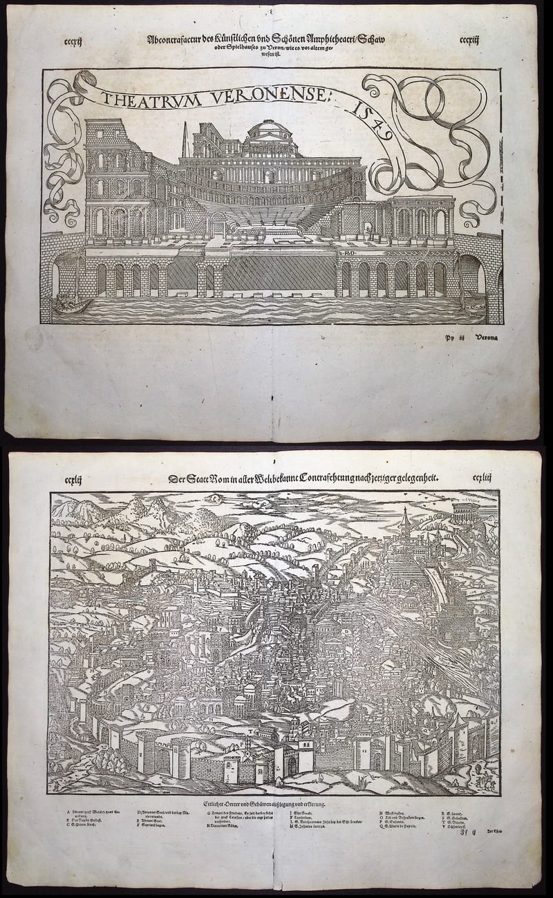
ROME AND THE THEATRE OF VERONA
Sebastian Münster · Basel · Cosmographia edition of 1598
€ 370
Antique Maps · FM-0006
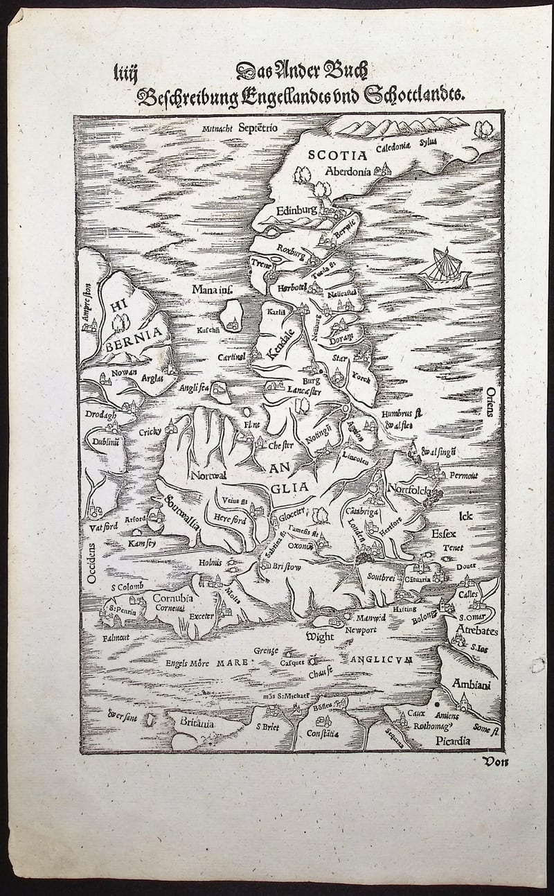
BESCHREIBUNG ENGELLANDTS UND SCHOTTLANDTS
Sebastian Münster · Basel · German Cosmographia edition of 1598
€ 350
All 5 works: Sebastian Münster → · Sebastian Münster · Ptolemy, the printed Geographia