Collection › Cartographers, authors and themes
Sebastian Münster
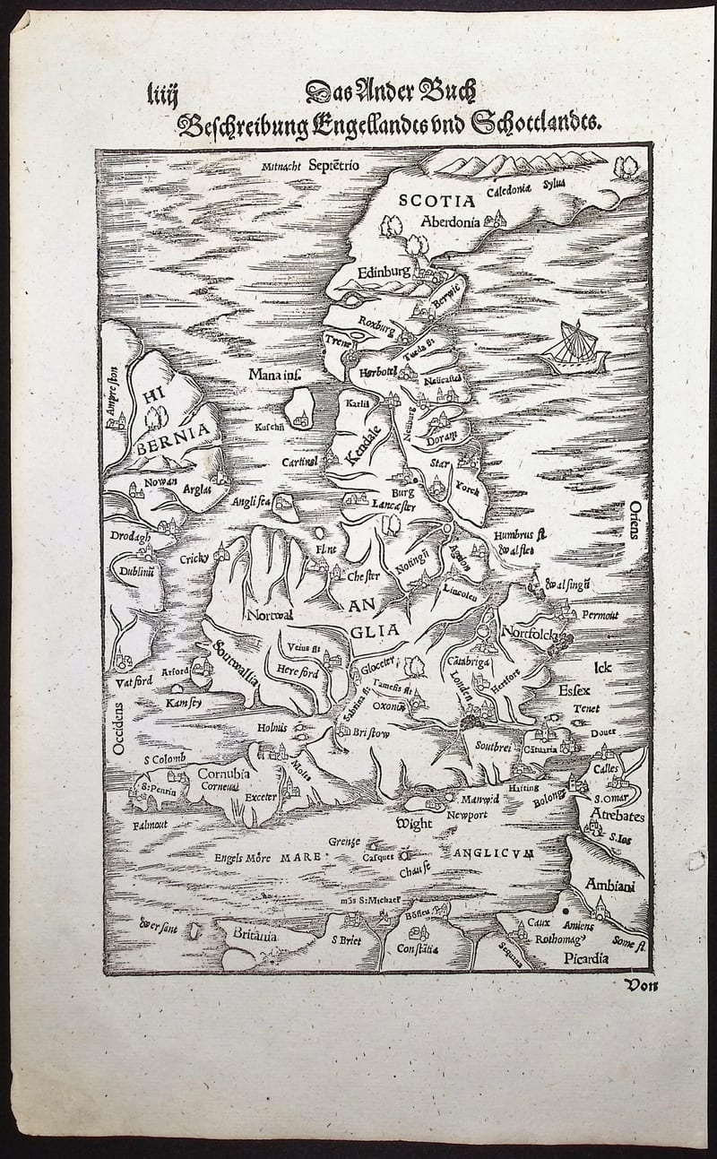
Sebastian Münster (Ingelheim 1488 to Basel 1552), Franciscan turned Protestant, Hebraist and professor at Basel, was the most widely read geographer of the sixteenth century. His edition of Ptolemy's Geographia (Basel 1540) added modern maps to the ancient ones and gave the four continents their first separate printed maps. His Cosmographia (1544), a description of the whole world in six books, went through some forty editions in six languages until 1628, growing at each edition in maps and town views.
Münster's maps are woodcuts, often with the place names set in movable type, and they were printed from the same blocks for decades; the edition is identified by the text on the verso. His edition of Solinus and Pomponius Mela (1538, 1543) contains the first printed map to show a stretch of the American north-west coast.
Our collection holds maps and leaves from the Geographia and the Cosmographia and the Solinus of 1543.
In our collection 5
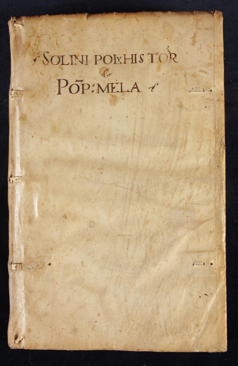
Polyhistor, rerum toto orbe memorabilium (with) Pomponius Mela, De situ orbis
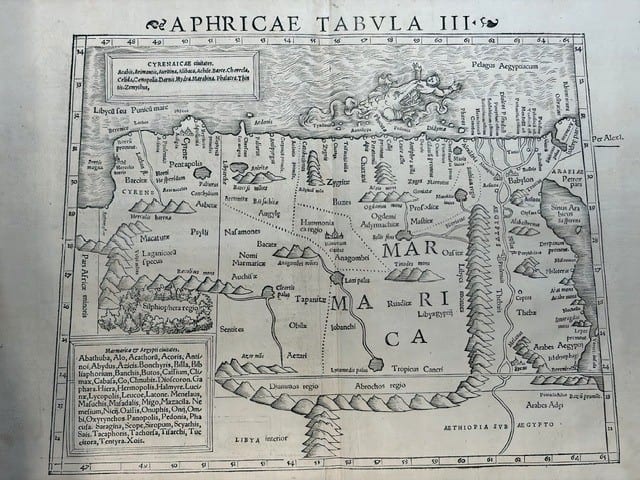
FOUR SIXTEENTH-CENTURY REGIONAL MAPS OF AFRICA
TABULA GERMANIAE
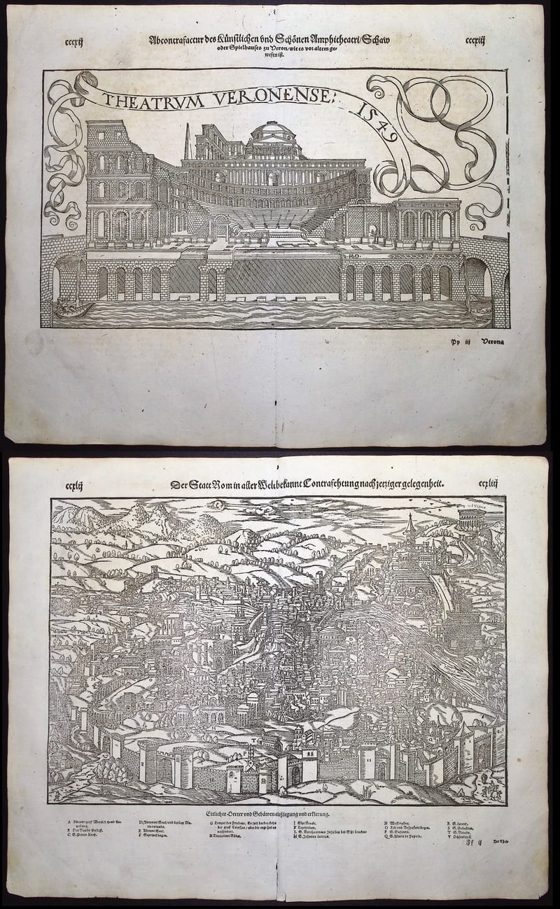
ROME AND THE THEATRE OF VERONA