Cartography
Polyhistor, rerum toto orbe memorabilium (with) Pomponius Mela, De situ orbis
C. Julius Solinus and Pomponius Mela · Basel · Michael Isingrin · 1543
Second edition (1543) of Solinus and Mela, edited by Munster; with the Asia map that Burden calls the earliest printed depiction of the north-west coast of America
FM-0068
€ 7.000
Key Properties
Format: Folio, 32.3 x 20.6 cm, two works in one volume
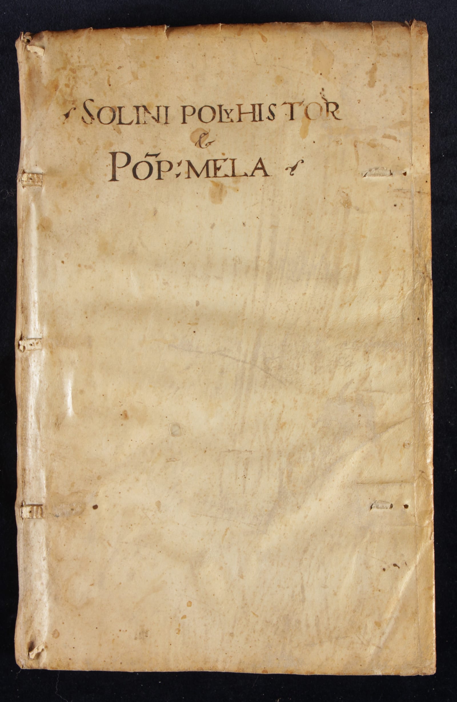
Binding: Contemporary limp vellum in a modern slipcase
Maps: 20 woodcut maps and plans (15 in Solinus, 5 in Mela), two folding and double-page
Language: Latin
Edition: Second edition (first 1538), edited by Sebastian Munster
Collation & Technical Description
Folio, 32.3 x 20.6 cm, two works in one volume. Solinus: 10 unnumbered leaves (the title with Isingrin's printer's device), pages 1 to 144 including 15 maps, of which two are folding and double-page (Greece in classical times, and Asia major on an unnumbered double folio). Mela: pages 145 to 230 (85 pages) including 5 maps, with one original blank leaf, the verso bearing the colophon. Old manuscript title on the front cover and spine.
Condition
A fine example in its original state and contemporary limp vellum binding, preserved in a modern slipcase. A few lines of text on page 173 are struck through, apparently an early censor's deletion.
References & Bibliography
Graesse, VI.1, 431. Burmeister, 172. Adams S-1394. Asia map: Sweet, no. 1; Burden, no. 11.
Description
The second edition (the first appeared in 1538) of two classical geographies bound together: the Polyhistor of Caius Julius Solinus and the De situ orbis of Pomponius Mela. Both texts carry the commentary of Petrus Johannes Olivarius and were edited by Sebastian Munster and printed at Basel by Michael Isingrin. In its first edition this atlas preceded Munster's own editions of Ptolemy's Geography (1540) and his Cosmography (1545).
Its most celebrated map is the Solinus map of Asia (Burden 11, state 2), one of the first printed maps devoted exclusively to that continent. In its north-eastern corner it shows the north-west of the American continent as Terra incognita, which Burden regards as the earliest representation of the north-west coast of America on a printed map.
The two works are richly illustrated with woodcut maps and plans. The Solinus contains fifteen maps within pages 1 to 144, among them a three-dimensional plan of Rome, maps of Italy, Greece (a double-page map), Rhodes, the Rhine, Russia, the Caspian Sea, Switzerland, England, a full-page Africa, Judaea and Asia Minor, together with the great double-page Asia major. The Mela adds five further maps, including Europe, the Palus Maeotis, Greece and Sicily.
Both authors are notable in their own right. Solinus is famously known as "Pliny's ape" (Plinii simia), because his Polyhistor draws so heavily on Pliny's Natural History; even so, that condensed work became one of the most influential geographies in Europe for close to a thousand years. Pomponius Mela, bound here alongside him, was the earliest known Roman geographer, and his De situ orbis, written around 43 AD, is the earliest surviving geographical treatise in classical Latin. As Solinus drew on both Pliny and Mela, this volume places the compiler beside one of his own sources.
Historical Significance
The Solinus map of Asia is a landmark for the cartography of two continents: it is among the earliest printed maps dedicated to Asia, and, in Burden's judgement, the first printed map to show the north-west coast of America, here left as Terra incognita.
Related works
Antique Maps · FM-0020
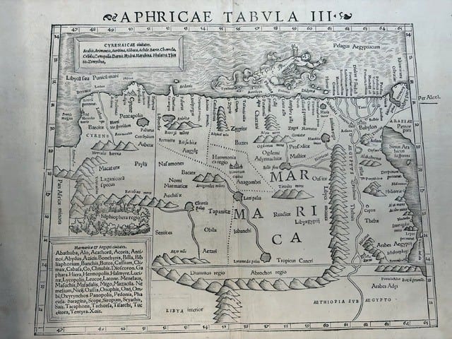
FOUR SIXTEENTH-CENTURY REGIONAL MAPS OF AFRICA
Laurent Fries; Sebastian Münster; Giovanni Antonio Magini & Girolamo Porro · Strasbourg, Basel and Venice · 1525–1597
€ 2.200
Antique Maps · FM-0011
TABULA GERMANIAE
Sebastian Münster · Basel · probably 1540
€ 425
Antique Maps · FM-0007
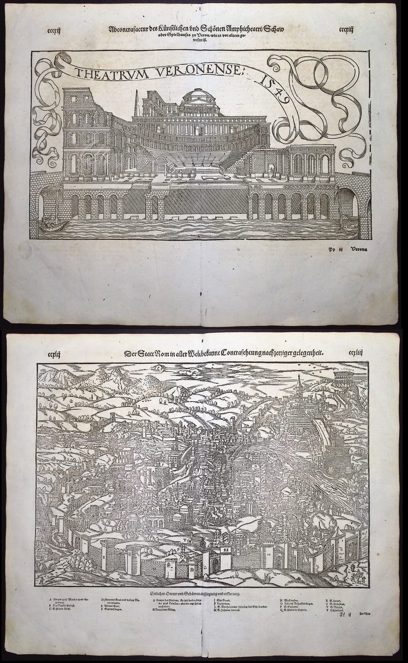
ROME AND THE THEATRE OF VERONA
Sebastian Münster · Basel · Cosmographia edition of 1598
€ 370
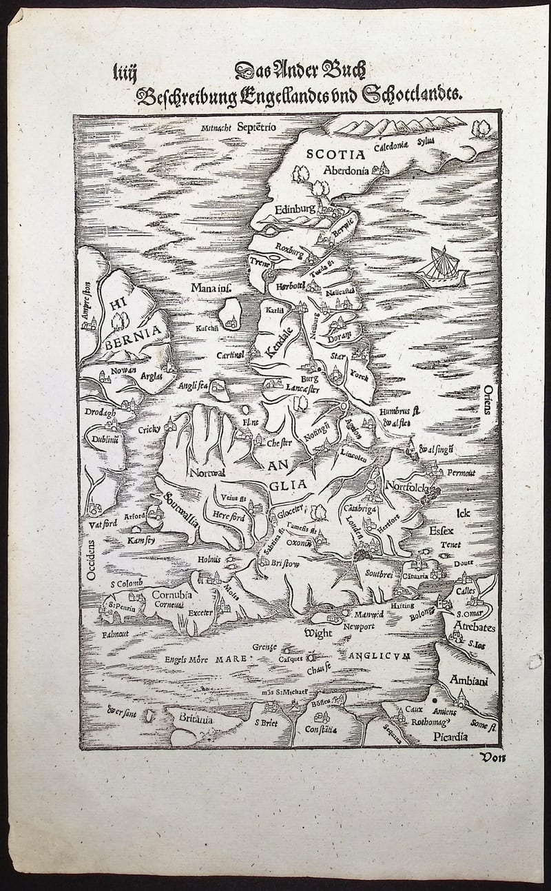
Antique Maps · FM-0006
BESCHREIBUNG ENGELLANDTS UND SCHOTTLANDTS
Sebastian Münster · Basel · German Cosmographia edition of 1598
€ 350
All 5 works: Sebastian Münster →