Antique Maps
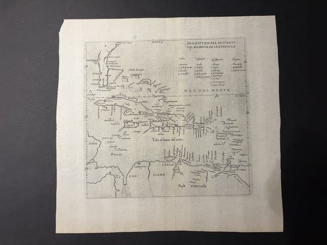
Descripcion del Destricto del Audiencia de la Española (The Caribbean: Hispaniola, Cuba, Jamaica, Puerto Rico and the Spanish Main)
HERRERA Y TORDESILLAS, Antonio de · Madrid · Imprenta Real, in Herrera, Descripcion de las Indias Occidentales · 1601
The map of the district of the Audiencia of Santo Domingo from the first edition of Herrera's Descripcion de las Indias Occidentales, Madrid 1601: the official Spanish map of the Caribbean, drawn from the manuscript maps of the Casa de Contratación and the first printed Spanish map of the region
FM-0135
€ 1.750
Key Properties
Edition: First edition, Madrid, Imprenta Real, 1601, from the Descripcion de las Indias Occidentales that prefaced Herrera's Historia General de los Hechos de los Castellanos
Cartographer: Antonio de Herrera y Tordesillas (1549 to 1626), Cronista Mayor de Indias, after the manuscript charts of Juan López de Velasco, cosmographer of the Council of the Indies
Language: Spanish
Format: Copperplate engraving on laid paper, blank verso
Map: approximately 20 x 25 cm
Colouring: Uncoloured, as issued
Collation & Technical Description
A single leaf, the map engraved within a single ruled border, NORTE lettered at the top. Title in the upper right corner: DESCRIPCION DEL DESTRICTO DEL AVDIENCIA DE LA ESPAÑOLA, above a table of the islands of the district in five columns (Cuba, Jamaica, Española, Puerto Rico and the Lesser Antilles, with the towns of each). The map covers the whole Caribbean from the tip of Florida (La Florida) and the Bahamas (Islas de los Lucayos) at the top, with Cuba, Jamaica, Hispaniola and Puerto Rico across the centre and the Lesser Antilles to the right, to the Spanish Main (Tierra Firme, Venezuela, Cumana, Margarita, Trinidad) and the mouth of the Orinoco at the foot, and the coast of Honduras and Yucatan at the left; the sea lettered MAR DEL NORTE. Blank verso, as issued in the 1601 edition.
Condition
Very good condition. A good, clear impression on a full leaf with generous margins, the paper lightly toned with a few faint spots; the margins a little irregular as issued. Detailed condition report available on request.
References & Bibliography
Burden, The Mapping of North America, on the Herrera maps of 1601 (Descripcion de las Indias Occidentales, Madrid, Imprenta Real). Sabin 31544 (Herrera, Historia General, Madrid 1601 to 1615). Medina, Biblioteca Hispano-Americana, and Palau, on the Madrid editions. Cf. the reissue of Madrid 1615 and the Amsterdam edition of Michiel Colijn, 1622 (Descriptio Indiae Occidentalis, with the maps re-engraved).
Description
The map of the Caribbean from the Descripcion de las Indias Occidentales, the geographical introduction that Antonio de Herrera y Tordesillas, Cronista Mayor de Indias, prefixed to his great official history of the Spanish conquests, the Historia General de los Hechos de los Castellanos en las Islas y Tierra Firme del Mar Oceano, published at Madrid at the royal press in 1601. The Descripcion contained fourteen small engraved maps, the first printed maps to be based on the manuscript charts of the Casa de Contratación and of Juan López de Velasco, cosmographer of the Council of the Indies, whose manuscript Geografia y Descripcion Universal de las Indias of about 1575 had been kept secret for a quarter of a century. Their publication in 1601 gave Europe its first official Spanish picture of the American possessions, organised, as here, by the districts of the audiencias, the royal courts that governed the Indies.
The present map shows the district of the Audiencia of Santo Domingo, the oldest of the American audiencias, founded in 1511: the Greater and Lesser Antilles, the Bahamas, the tip of Florida and the coast of the Spanish Main from Honduras to the mouth of the Orinoco. The table in the upper right lists the islands and their towns. The outlines are simple, in the plain style of the Spanish official charts, without decoration, but the map records the geography of the Caribbean as the Spanish administration itself knew it at the end of the sixteenth century, at the moment when the English, French and Dutch were beginning to challenge the Spanish monopoly of the region.
The present example is from the first edition of 1601, with the blank verso characteristic of that issue. The plates were reprinted in Madrid in 1615 and the maps were copied at Amsterdam by Michiel Colijn in 1622.
Historical Significance
The Herrera maps of 1601 are the first printed maps to give the official Spanish cartography of the Indies, the fruit of a policy of secrecy that had kept the surveys of the Casa de Contratación out of print for most of the sixteenth century. The map of the Audiencia of Santo Domingo is the first printed Spanish map of the Caribbean, and one of the earliest maps of the region to be based on administrative rather than on navigational sources.
Provenance
Available on request.
Related works
Voyages & Discovery · FM-0033
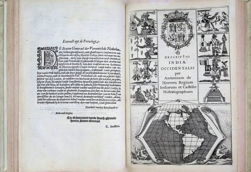
Spieghel der Australische navigatie
Jacob le Maire; Antonio de Herrera; Pedro Ordóñez de Ceballos · Amsterdam · 1621–1622
€ 35.000
Voyages & Discovery · FM-0065
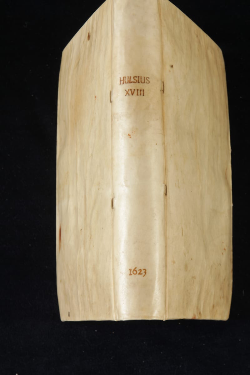
Achtzehenter Theil der Newen Welt
Levinus Hulsius (after Antonio de Herrera) · Frankfurt am Main · 1623
€ 15.000
Antique Maps · FM-0126
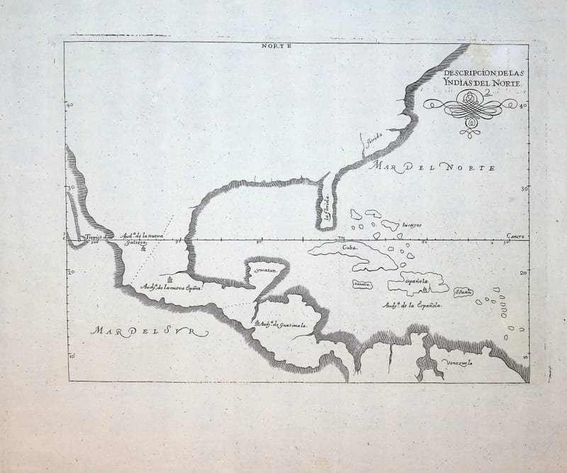
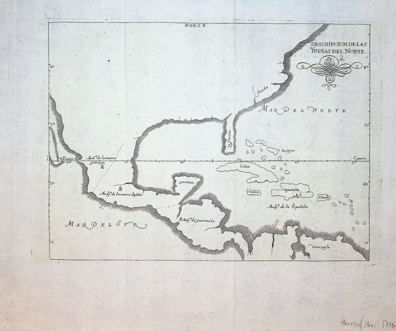
Descripcion de las Yndias del Norte (Spanish North America: Mexico, Florida, Central America and the Caribbean)
HERRERA Y TORDESILLAS, Antonio de · Madrid · c. 1726-1730
€ 950
Antique Maps · FM-0186
Descripcion de las Yndias del Norte (Spanish North America: Mexico, Florida, Central America and the Caribbean)
HERRERA Y TORDESILLAS, Antonio de · Madrid · c. 1726-1730
€ 950
All 18 works: Antonio de Herrera y Tordesillas →