Voyages & Discovery
Achtzehenter Theil der Newen Welt
Levinus Hulsius (after Antonio de Herrera) · Frankfurt am Main · In Verlegung der Hulsischen · 1623
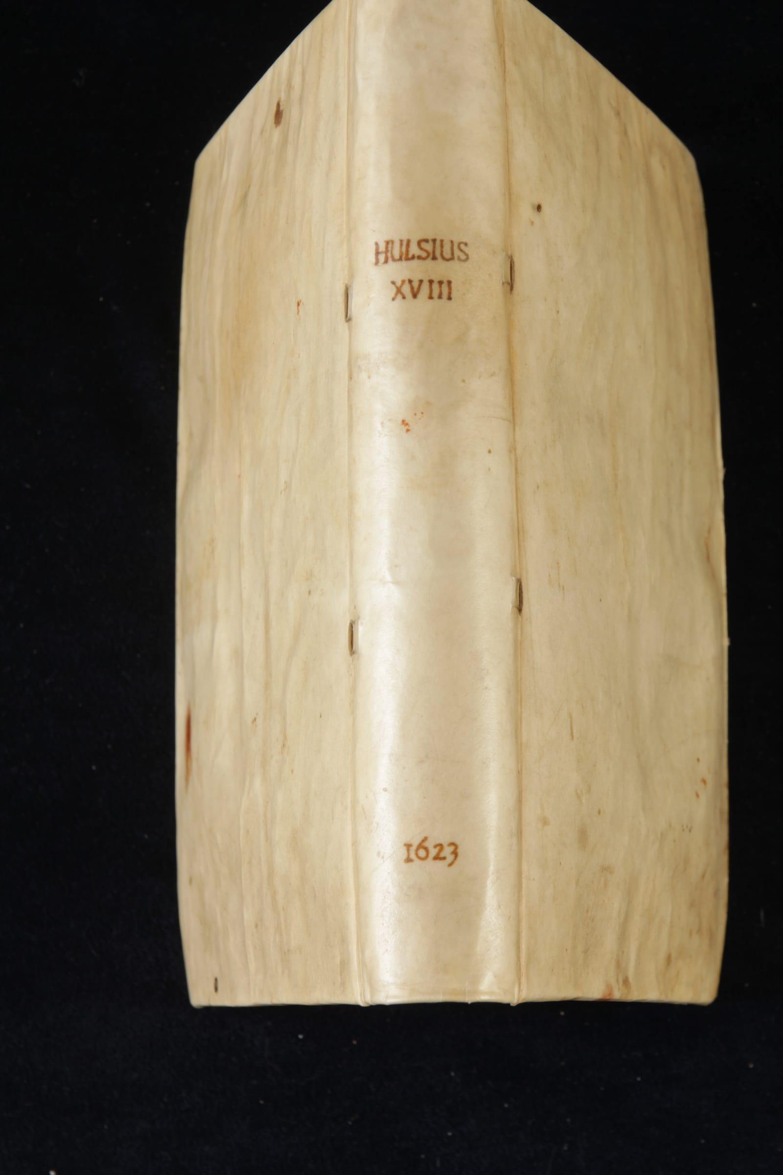
Part XVIII of the Hulsius voyages: the first complete German translation of Herrera's Descripcion de las Indias, the second atlas of the Americas
FM-0065
€ 15.000
Key Properties
Format: Small quarto
Binding: Remboitage in old vellum over boards
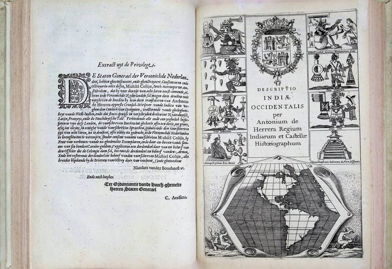
Illustration: 14 folding maps; engraved title-page
Collation: 4 unnumbered leaves and 256 pages
Language: German
Series: Part 18 of the 26-volume Hulsius collection of voyages
Collation & Technical Description
Small quarto. 4 unnumbered leaves, including the engraved title-page, and 256 pages. With 14 folding maps. Bound in a remboitage of old vellum over boards.
Condition
Complete with all 14 folding maps. Bound in a remboitage of old vellum over boards.
References & Bibliography
Church 310. John Carter Brown, I, 573. Asher, Bibliographical Essay on the Collection of Voyages (Hulsius), facsimile of the 1836 edition (Amsterdam, Meridian, 1962).
Description
The eighteenth part of the celebrated Hulsius collection of voyages, containing the first complete German translation of Antonio de Herrera's Descripcion de las Indias (1601), the second atlas ever devoted to the Americas. Herrera's Descripcion originally accompanied his great Historia de los Hechos de los Castellanos en las Indias Occidentales (Madrid, 1601 to 1615), and was translated into Dutch, Latin and French and published almost simultaneously by Cornelis Claeszoon in Amsterdam in 1622.
Alongside Herrera's text this volume gathers further material. From page 156 it describes the Philippines, China and Japan, and adds an account of the government of the West Indies (that is, the Americas) under Spanish rule, together with a list of Spanish governors since Columbus. There follow summaries of most of the voyages through the Straits of Magellan from 1520 to about 1600, including John Moore in 1618, the voyage of Cordes, Mahu and others to the Indies by the west in 1598, and brief summaries of the circumnavigations of Olivier van Noort and Francis Drake. The book closes with a short vocabulary of the languages spoken on the Solomon and Cocos Islands.
The fourteen maps in this version of Herrera's Descripcion are about a third of the size of the 1601 originals, but their dense engraving preserves the same detail. The first map, Descripcion de las Indias Occidentales, shows the whole area assigned to Spain by the Pope, between 32 and 212 degrees west of the prime meridian (here at Tenerife), reflecting the Spanish claim as it stood until the Treaty of Zaragoza of 1529.
De Bry's German and Latin translation of Herrera's Descripcion appeared in the same year, 1623, but is far less complete. As Asher observed, the de Bry version is as common as the Hulsius is rare (Asher, 1836).
Herrera wrote as Cronista Mayor de las Indias, the official chief chronicler of the Indies to the Spanish crown, a position that gave him privileged access to the records and charts of Spain's overseas empire. The Hulsius collection in which this part appears was the German counterpart to De Bry's Grands Voyages: begun at Nuremberg in 1598 and continued at Frankfurt, it ran to twenty-six parts, and Hulsius is often credited with a sharper editorial judgement in his selections and translations than De Bry himself.
Historical Significance
De Bry's rival German/Latin translation of Herrera appeared the same year but far less complete; as Asher observed, the de Bry is 'as common as our (Hulsius) is rare'.
Provenance
Available on request.
Related works
Voyages & Discovery · FM-0033
Spieghel der Australische navigatie
Jacob le Maire; Antonio de Herrera; Pedro Ordóñez de Ceballos · Amsterdam · 1621–1622
€ 35.000
Antique Maps · FM-0135
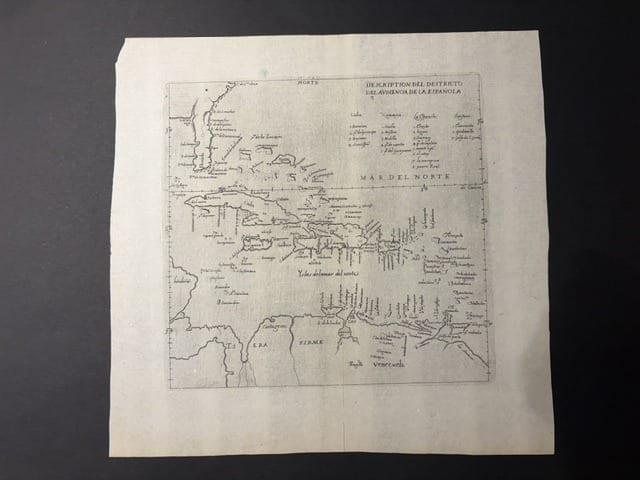
Descripcion del Destricto del Audiencia de la Española (The Caribbean: Hispaniola, Cuba, Jamaica, Puerto Rico and the Spanish Main)
HERRERA Y TORDESILLAS, Antonio de · Madrid · 1601
€ 1.750
Antique Maps · FM-0126
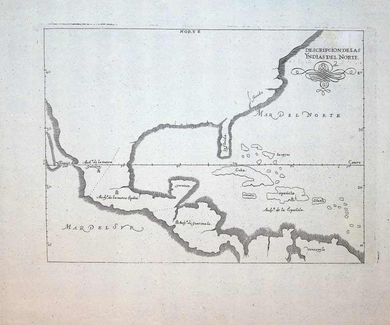
Descripcion de las Yndias del Norte (Spanish North America: Mexico, Florida, Central America and the Caribbean)
HERRERA Y TORDESILLAS, Antonio de · Madrid · c. 1726-1730
€ 950
Antique Maps · FM-0186
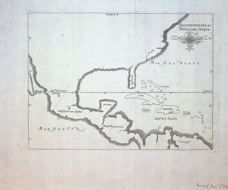
Descripcion de las Yndias del Norte (Spanish North America: Mexico, Florida, Central America and the Caribbean)
HERRERA Y TORDESILLAS, Antonio de · Madrid · c. 1726-1730
€ 950
All 18 works: Antonio de Herrera y Tordesillas →