Voyages & Discovery
Spieghel der Australische navigatie
Jacob le Maire; Antonio de Herrera; Pedro Ordóñez de Ceballos · Amsterdam · Michiel Colijn · 1621–1622
Jacob le Maire, a Sammelband on the discovery of Strait Le Maire, with Herrera's atlas of the Americas and Ordóñez's description
FM-0033
€ 35.000
Key Properties
Edition: First printing of Le Maire's own account (1622); a Sammelband of three works
Language: Dutch
Format: Small folio (leaves 275 × 185 mm)
Binding: Rebound in 1862 in a vellum 'spitsel' binding; the Meerman arms inside the front cover
Collation & Technical Description
(8) 86 pp. (Le Maire): printed world map on the title-page, full-page portrait of Le Maire on the title verso, 5 plates and 3 maps (one folding). (4) 112 pp. plus 14 double-page maps (Herrera). 30 pp., last blank (Ordóñez).
Condition
A clean copy with a strong imprint on sturdy paper.
References & Bibliography
Tiele pp. 54 and 312–316, no. 297. Leighly (1972); McLaughlin, The Mapping of California as an Island (1995); Hordern House, Mirror of the Australian Navigation (1999). Princeton University Library (on the title-page world map as the first printed map to show California as an island).
Description
A Sammelband of three works. The first, the Spieghel der Australische navigatie (1622), is the first printing of Le Maire's own account of the voyage he did not live to finish. In 1616 Schouten and Le Maire became the first to sail around Cape Horn, discovering what each called after himself, Strait Schouten and Strait Le Maire. The two later split, and each claimed the discovery and wrote his own journal; Schouten's appeared first (Blaeu, 1618), while Le Maire's was first published here by Michiel Colijn in 1622. Its last pages summarise earlier voyages into the Pacific (Magellan, Drake, Sarmiento, Van Noort) with short vocabularies of Pacific island languages.
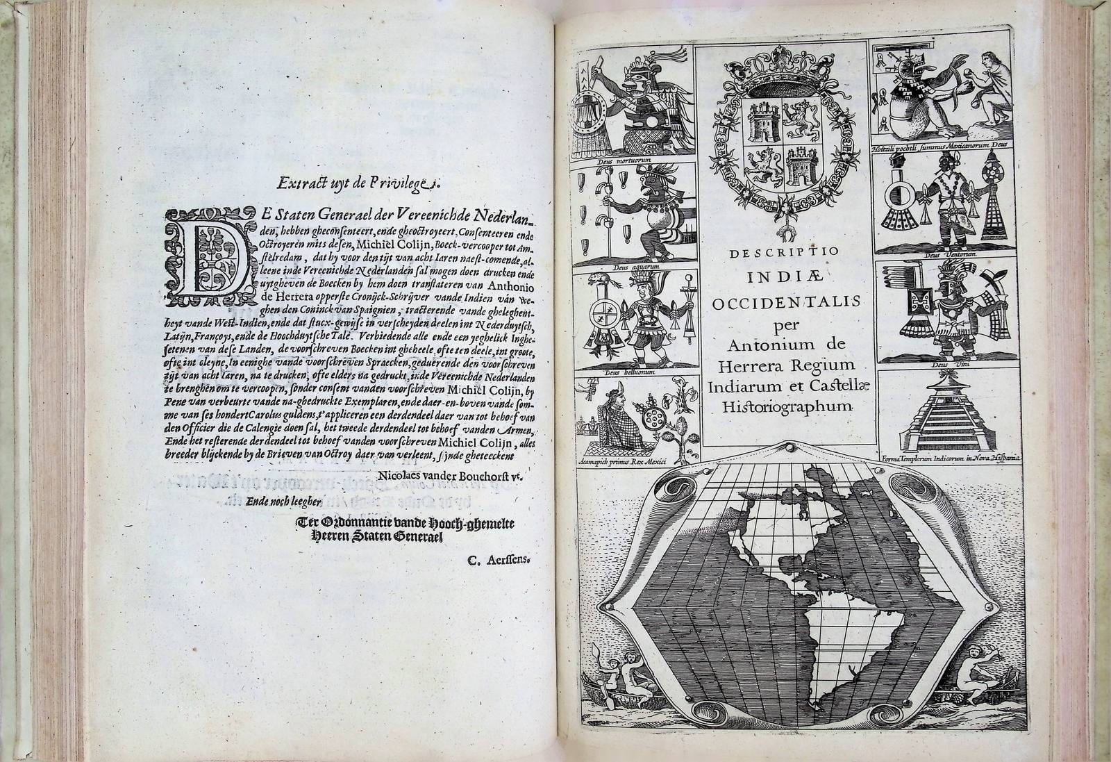
The second part, Nieuwe Werelt anders genaempt West-Indien (1622), is the Dutch translation of the small atlas Antonio de Herrera added to his Historia general de los hechos de los Castellanos (Madrid, 1601–1615), the second atlas ever dedicated exclusively to the Americas, with the same 14 maps. The third part, Pedro Ordóñez de Ceballos's Eyghentlijcke beschrijvinghe van West-Indien (1621), is based on the author's own travels, and notably divides South American society into two 'republics', the Spanish and the Indian.
The world maps on the title-pages of the first two parts are among the first to show California as an island (Leighly, 1972; McLaughlin, 1995).
Beyond its text, this copy carries its own collecting history. Early manuscript notes on the great rarity of the Spieghel are pasted in at the front, and the volume was deliberately rebound to place Le Maire's account at its head, giving it pride of place over the other two works, the marks of a considered collector's copy rather than a standard example.
Historical Significance
Schouten and Le Maire were the first to round Cape Horn (1616); the Spieghel is Le Maire's own posthumous account of that voyage around the Horn and through the Pacific, here in its first printing. Its title-page carries the first printed world map to show California as an island, a distinction emphasised by Princeton University Library. The strength of the volume lies in the combination it brings together in a single binding: Pacific discovery and Cape Horn, the New World, one of the earliest atlases devoted to the Americas, and pioneering California-as-island cartography. The Herrera atlas lends international weight, with fourteen maps of the Americas, the second atlas ever devoted solely to the New World, and the three works form the first Dutch editions of the Colijn issue, comprising seventeen maps in all, together with a portrait and plates. The whole is far more than a single voyage narrative; it is a considered assembly of Pacific exploration and early American cartography.
Provenance
A distinguished chain: Abdias Velingius (1721–1803, Bibliotheca Velingiana); bought at auction in 1804 by Willem Cornelis Ackersdijk, who had it rebound giving Le Maire pride of place; the Frederik Muller sale (1862); Johannes Meulman; Quaritch (London); Sir Roger Leicester Harmsworth (1870–1937); Sotheby's, 1950. With the bookplate and arms of the collector Johannes Meerman, after whom the Dutch book museum (now the Museum of the Book) was named.
Related works
Voyages & Discovery · FM-0065
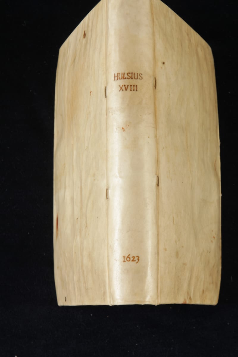
Achtzehenter Theil der Newen Welt
Levinus Hulsius (after Antonio de Herrera) · Frankfurt am Main · 1623
€ 15.000
Antique Maps · FM-0135
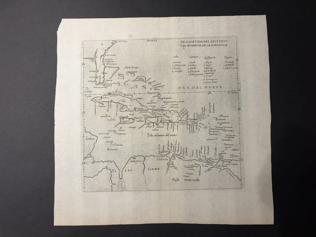
Descripcion del Destricto del Audiencia de la Española (The Caribbean: Hispaniola, Cuba, Jamaica, Puerto Rico and the Spanish Main)
HERRERA Y TORDESILLAS, Antonio de · Madrid · 1601
€ 1.750
Antique Maps · FM-0126
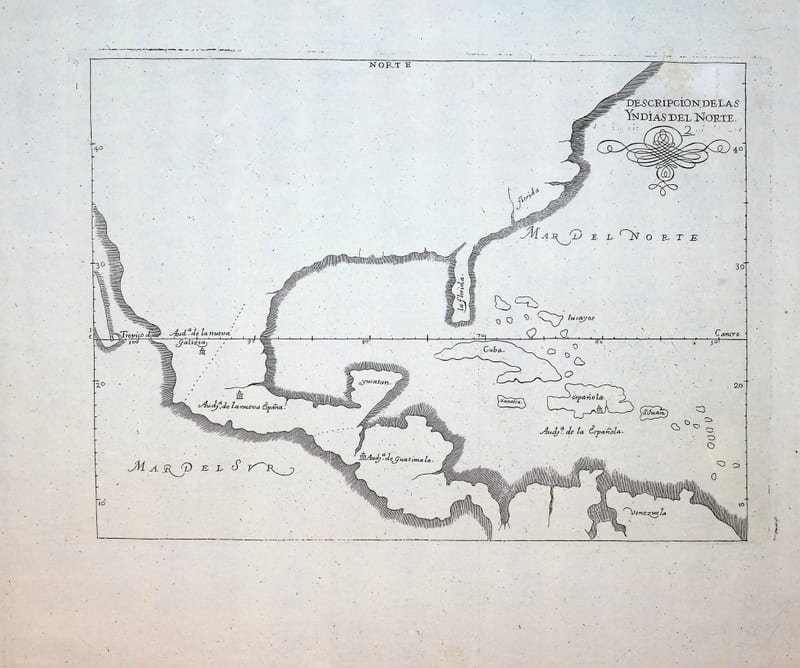
Descripcion de las Yndias del Norte (Spanish North America: Mexico, Florida, Central America and the Caribbean)
HERRERA Y TORDESILLAS, Antonio de · Madrid · c. 1726-1730
€ 950
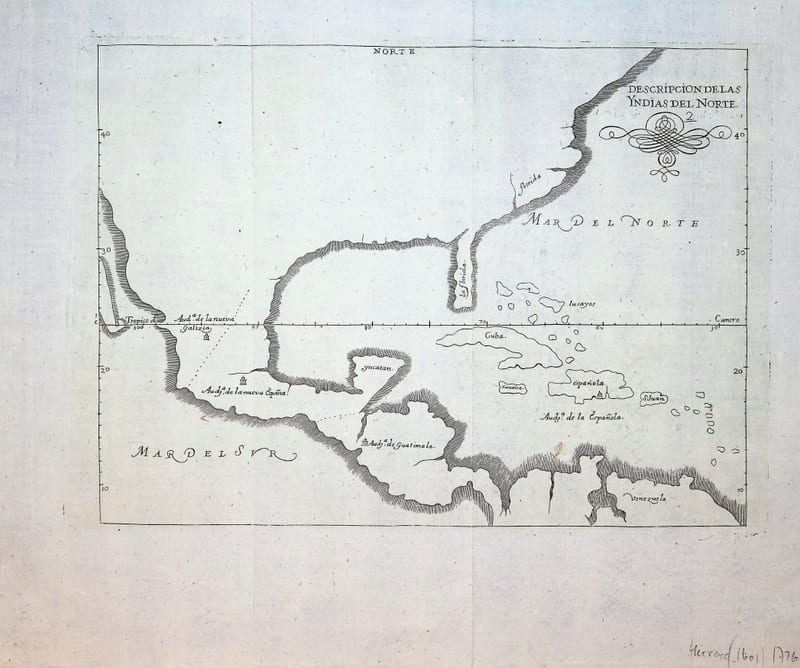
Antique Maps · FM-0186
Descripcion de las Yndias del Norte (Spanish North America: Mexico, Florida, Central America and the Caribbean)
HERRERA Y TORDESILLAS, Antonio de · Madrid · c. 1726-1730
€ 950
All 18 works: Antonio de Herrera y Tordesillas → · Antonio de Herrera y Tordesillas · The Dutch East India Company (VOC) · The Strait of Magellan and Cape Horn · California as an island