Collection › Cartographers, authors and themes
California as an island
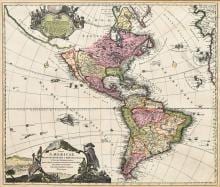
For more than a century the maps of Europe showed California as a great island off the coast of North America. The idea came from a Spanish manuscript chart of about 1620 and first appeared in print on the title-page of Le Maire's Spieghel der Australische navigatie (Amsterdam 1622) and on the world map of Michiel Colijn in the same year. Henry Briggs gave it authority in 1625, Sanson gave it its second, definitive form in 1650, and the island passed into the atlases of Blaeu, Janssonius, De Wit, Homann and Danet until the Jesuit Kino's overland journeys of 1698 to 1706 and the royal decree of Ferdinand VI in 1747 returned California to the mainland.
The island is the most famous error in the history of cartography, and the maps that show it are collected for that reason. McLaughlin's census of 1995 lists some two hundred and fifty printed maps in their states.
This page brings together the maps and books in our collection on which California is an island.
In our collection 3
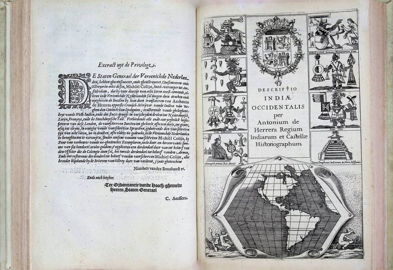
Spieghel der Australische navigatie
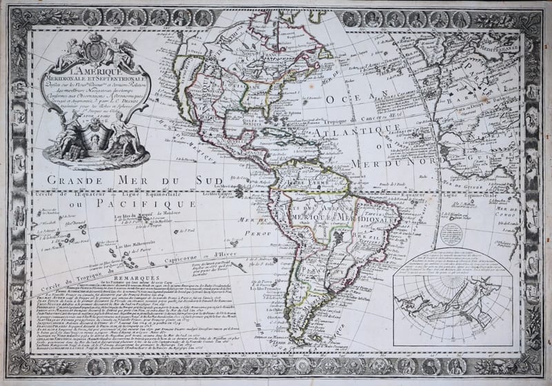
L'Amérique Méridionale et Septentrionale, dressée sur les nouvelles découvertes et dernières relations des meilleurs navigateurs de ce temps (The Americas with portraits of the explorers)