Collection › Cartographers, authors and themes
The Strait of Magellan and Cape Horn
Magellan found the strait in 1520 and for a century it was the only known way from the Atlantic into the Pacific. Drake passed it in 1578, Cavendish in 1587, and from 1598 the Dutch: the fleets of Mahu and De Cordes with Sebald de Weert, Van Noort in 1599, Spilbergen in 1615 and the Nassau fleet of L'Hermite in 1624. In 1616 Le Maire and Schouten, sailing round the eastern end of Tierra del Fuego, discovered the open water south of Cape Horn and broke the monopoly of the Company on the strait; in 1619 the Nodal brothers, sent by Spain, sailed round the whole of Tierra del Fuego to confirm it.
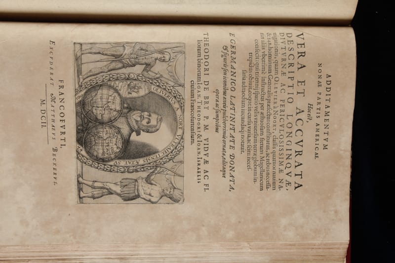
Every one of these voyages was printed, and the Dutch printers gave them the maps: the strait on the title of Le Maire's Spieghel, with California as an island for the first time; the charts in Spilbergen's Spiegel and De Bry's ninth part; the Nodal map of 1621 and its reprint of 1769.
This page gathers the accounts and maps in our collection of the passage round South America.
In our collection 12
Spieghel der Australische navigatie
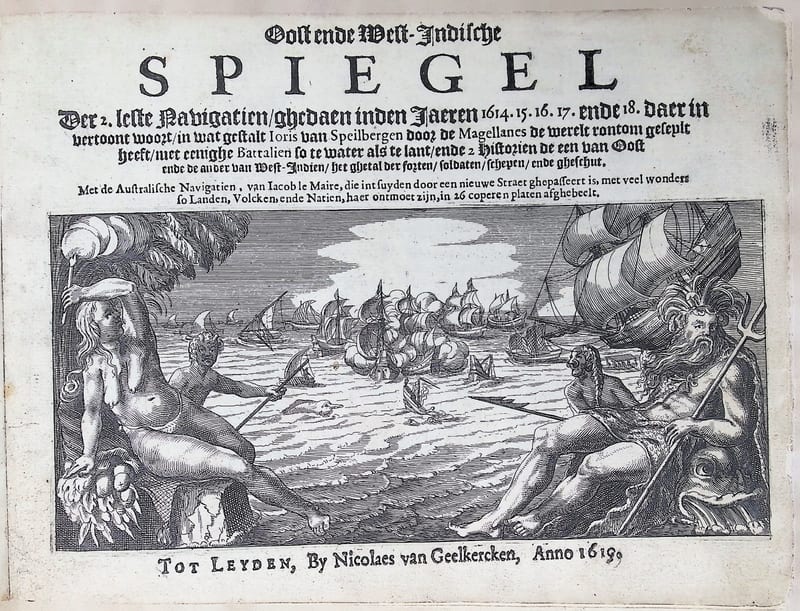
Oost ende West-Indische Spiegel

Speculum orientalis occidentalisque Indiae navigationum
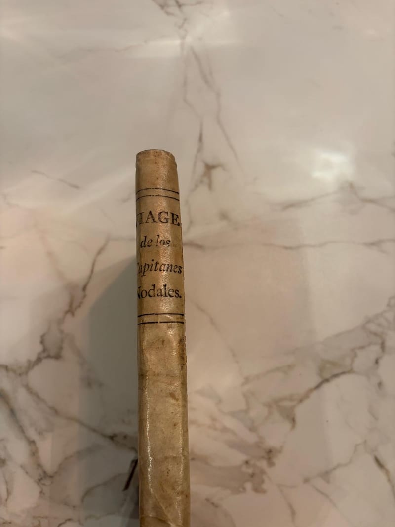
Relacion del viaje que por orden de su Magestad y acuerdo del Real Consejo de Indias hizieron los capitanes Bartolome Garcia de Nodal y Gonzalo de Nodal
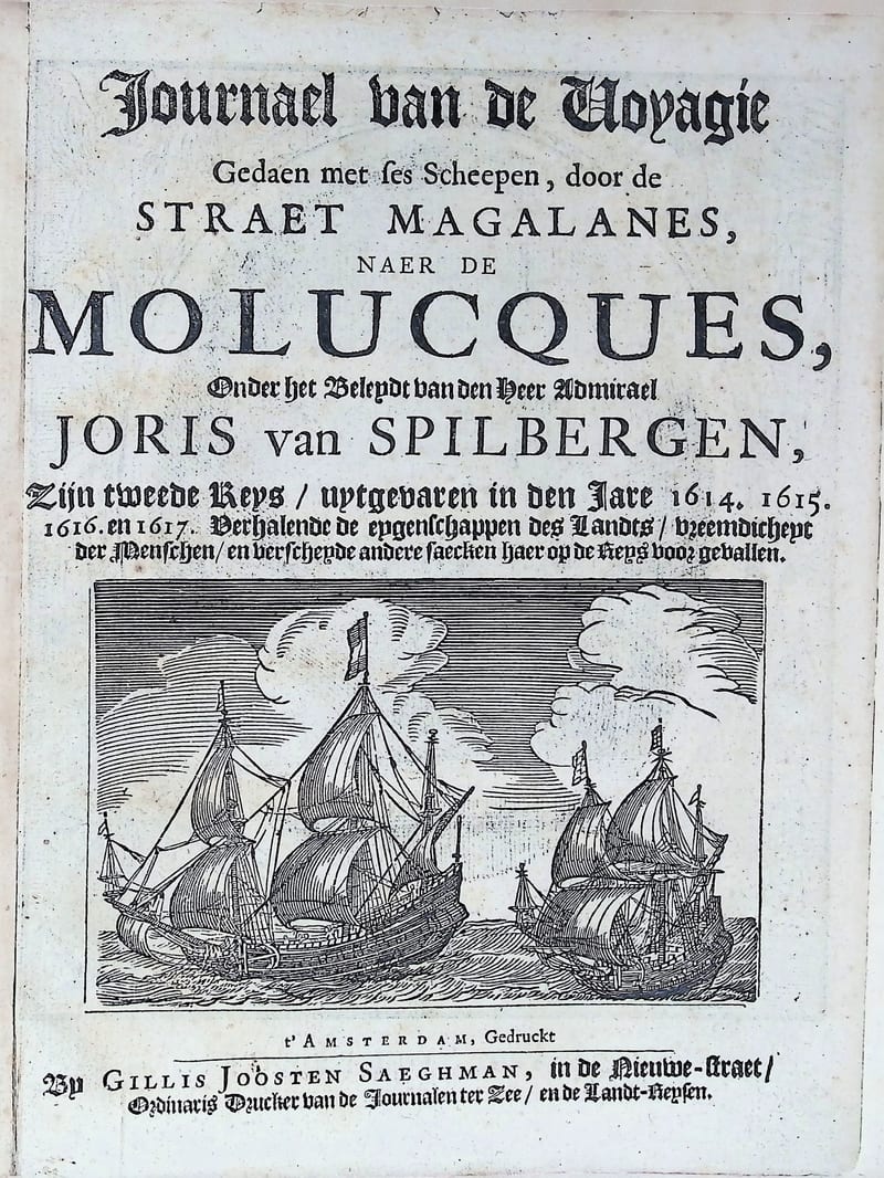
Oost ende West Indische Spieghel
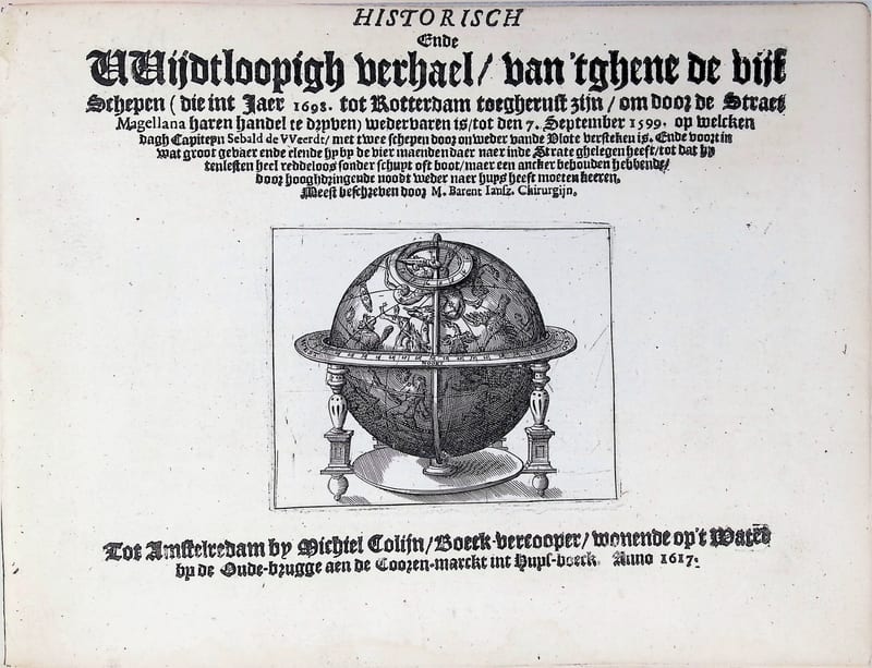
Historisch ende wijdtloopigh verhael van 'tghene de vijf schepen … door de Straet Magellana … wedervaren is; Sebalt de Weert
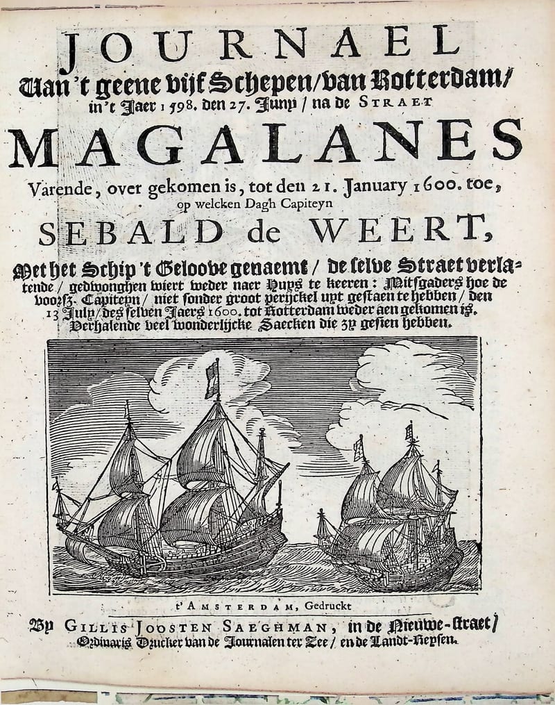
Journael van 't geene vijf Schepen van Rotterdam in 't Jaer 1598 … na de Straet Magalanes varende … Capiteyn Sebald de Weert
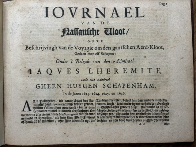
Journael van de Nassausche vloot, ofte beschrijvingh van de voyagie om den gantschen aerd-kloot, gedaen met elf schepen onder 't beleyt van admirael Jacques L'Hermite
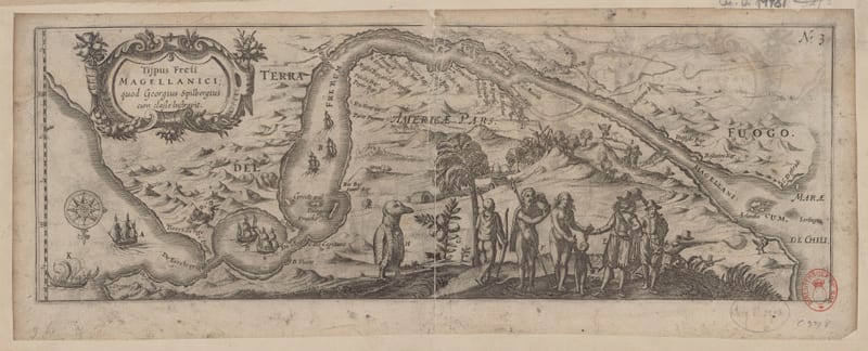
Tijpus Freti Magellanici, quod Georgius Spilbergius cum classe lustravit (The Strait of Magellan)
Oost en West Indische Voyagie
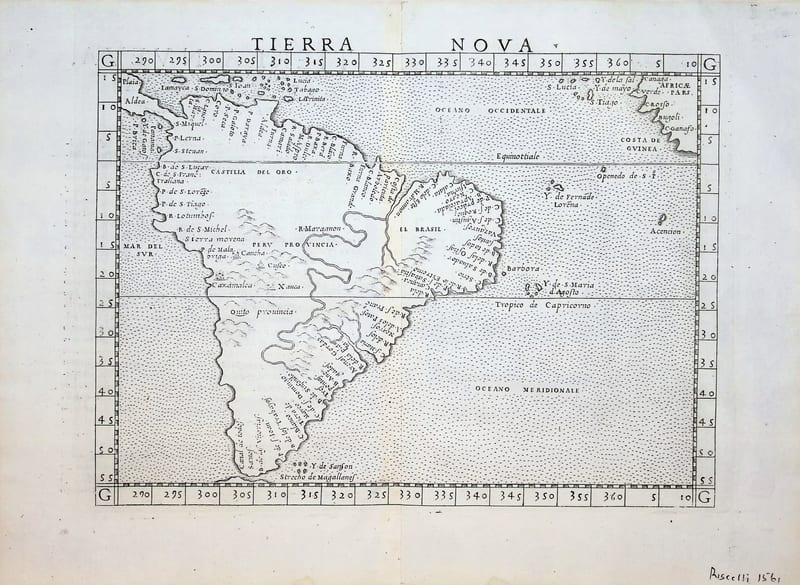
Tierra Nova (South America)