Voyages & Discovery
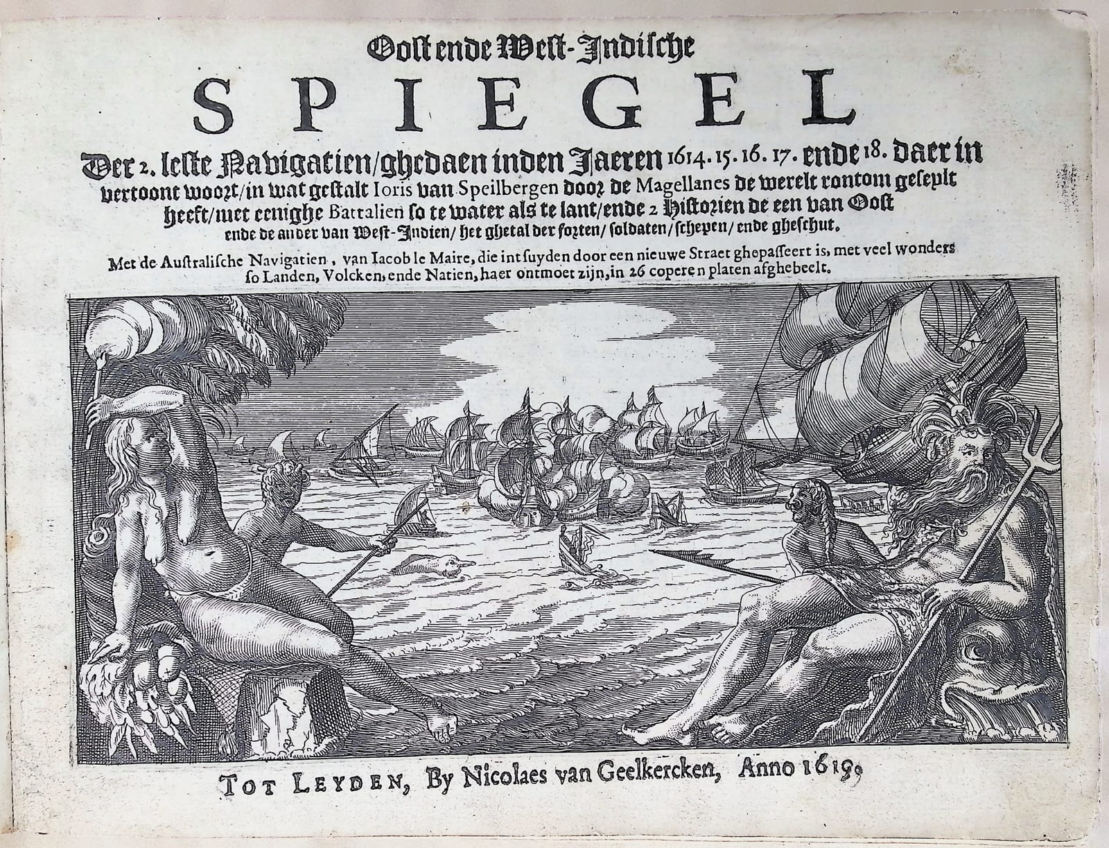
Oost ende West-Indische Spiegel
Joris van Spilbergen; with Jacob le Maire and Willem Schouten, Australische Navigatien · Leiden · Nicolaes van Geelkercken · 1619
The true first edition of the fifth circumnavigation, complete with all 25 plates and both folding maps, with the Le Maire and Schouten discovery of Cape Horn
FM-0041
Price on request
Key Properties
Edition: The very first edition, in Dutch, with the altered text on the title-page; the text and plates that all later versions and translations derive from
Language: Dutch; the text in gothic type, the captions to the plates in roman
Format: Oblong quarto, bookblock 24 x 17.5 cm
Binding: Modern brown morocco over boards, compartmented spine with printed title and date in gilt
Illustration: Engraved title-page and 25 numbered plates, complete, including two folding maps
Collation & Technical Description
Oblong quarto. Signatures A to Z plus Aa in fours. Four preliminary leaves including the engraved title-page, without pagination. 192 pp.: pp. 1 to 144 Spilbergen, pp. 145 to 192 Schouten and Le Maire.
The 25 numbered plates are inserted without signature or page number and are all present.
The plates include a world map with an inset showing the islands north of New Guinea, a general map of the Indonesian archipelago, detailed maps of the Strait of Magellan and of the Manila channel, and views of Manila, Sao Vicente, Mocha, Callao and Acapulco among others.
Condition
Strong, clean paper and clear printing throughout. Both folding maps excellent. The first four leaves, inserted on a stub, are bound in the wrong order: A1, A4, A2, A3. Bound in modern brown morocco to style.
References & Bibliography
Sabin 89445. Tiele, Journaux, 65. Landwehr, VOC 359.
A. G. Camus, Memoires (Paris, 1802), p. 148: c'est un des plus importants parmi les voyages du dix-septieme siecle.
J. A. J. Villiers, The East and West Indian Mirror (Hakluyt Society, second series, no. XVIII, 1906). J. C. M. Warnsinck, De reis om de wereld van Joris van Spilbergen, 2 vols. (The Hague, Nijhoff, 1943). W. A. Engelbrecht and others, De ontdekkingsreis van Jacob le Maire en Willem Corneliszoon Schouten, 2 vols. with 7 folding maps (The Hague, Nijhoff, 1945).
Description
The very first edition of Joris van Spilbergen's voyage around the world, in Dutch, published at Leiden by Nicolaes van Geelkercken in 1619 with the altered text on the title-page. This was the fifth circumnavigation ever made, after Magellan, Drake, Cavendish and Van Noort, and the second by the Dutch. The voyage lasted from 1614 to 1618.
Spilbergen was an experienced admiral who had already sailed for the VOC to the Indies. He was sent out again to find new territory, to chart the Strait of Magellan, and to challenge Spanish dominion in South America, in the Pacific that Spain called its own sea, and in the Philippines. He landed in Brazil, surveyed the Strait, fought and burned Spanish settlements in Chile, Peru and Mexico, and crossed to the Philippines.
Bound with it is the Australische Navigatien, the voyage on which Jacob le Maire and Willem Schouten found the strait that carries Le Maire's name and rounded the cape that Schouten named after Hoorn, in 1616. The two men parted company during the voyage and each claimed the discovery, and each kept his own journal. Schouten's was printed first, by Blaeu at Amsterdam in 1618; Le Maire died on the way home and his own account did not appear until 1622. The text printed here is Schouten's, abbreviated. On the maps, however, the credit for the discoveries goes to Le Maire.
The two stories meet in this volume for a reason. When Spilbergen reached Batavia he took on board Le Maire and what was left of his crew, who had been arrested there for sailing west to the Indies without VOC consent. Le Maire's defence was a good one: the VOC charter forbade the route through the Strait of Magellan, and he had not used it. He had gone round Cape Horn.
Historical Significance
The bibliographers have argued for two centuries about the differences between the various versions and translations of Spilbergen's journal. With Villiers, who compared the editions and the languages, we take this Dutch edition of 1619 from Geelkercken to be the original: its text, its 25 prints and the descriptions of them are what everything else derives from. Villiers put it plainly, that no thoroughly satisfactory edition complete in all its details has appeared since the Dutch edition of 1619.
The plates are the reason collectors want the book. The maps of the Strait of Magellan and of the Manila channel and the views of the Spanish Pacific ports are among the earliest printed images of those places to reach northern Europe, made by men who had just fought there. The world map with its inset of the islands north of New Guinea records the new southern discoveries while they were still news.
Camus, writing in 1802, called it one of the most important of the voyages of the seventeenth century. To have the Spilbergen and the Le Maire and Schouten voyages together, complete with all 25 plates and both folding maps, in the first edition of the original text, is to hold the whole Dutch challenge to Spain in the South Sea in one volume.
Provenance
The first free endleaf carries a manuscript translation into English of the text of the title-page.
Related works

Voyages & Discovery · FM-0105
Speculum orientalis occidentalisque Indiae navigationum
Joris van Spilbergen; with Jacob le Maire, Navigationes Australes · Leiden · 1619
€ 15.000
Voyages & Discovery · FM-0043
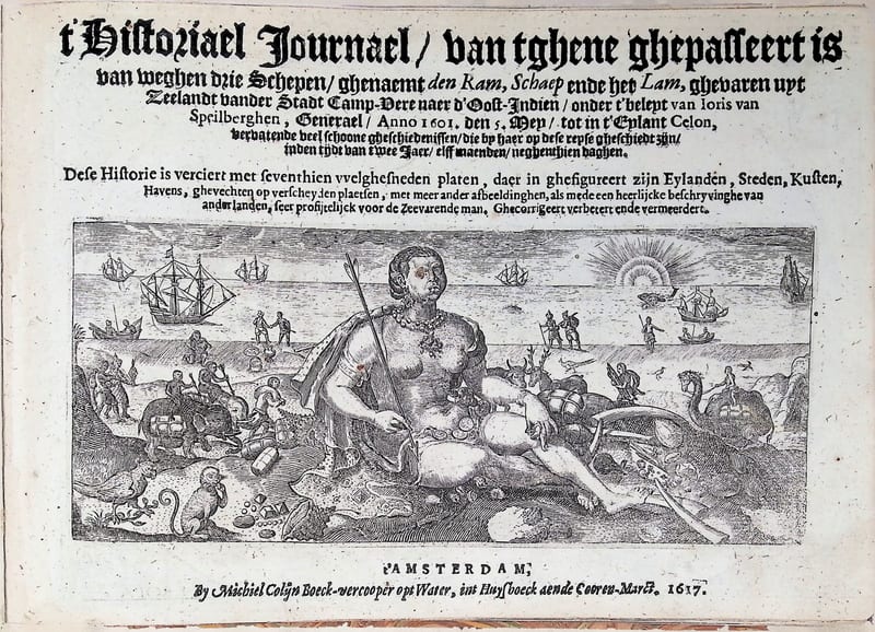
’t Historiael Journael van Joris van Spilbergen naer Oost-Indien (Ceylon)
Joris van Spilbergen · Amsterdam · 1617
€ 9.000
Voyages & Discovery · FM-0035
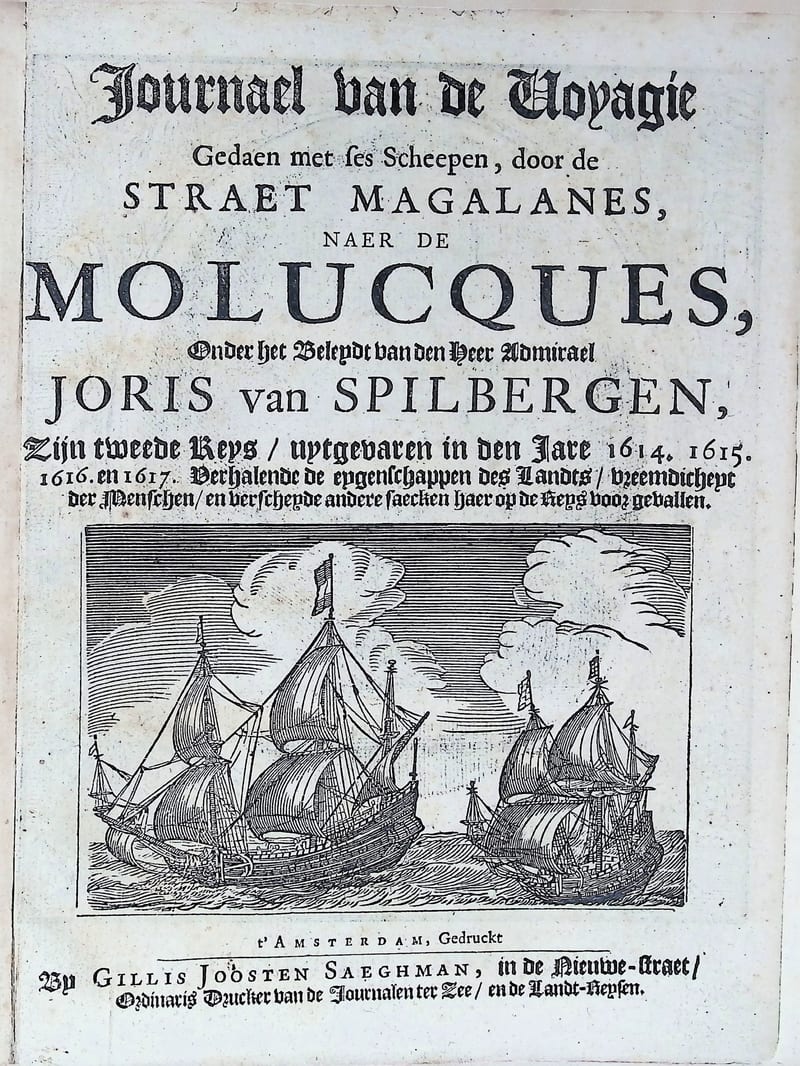
Oost ende West Indische Spieghel
Joris van Spilbergen (text by Jan Cornelisz May) · Amsterdam · circa 1663
€ 7.000
Voyages & Discovery · FM-0057
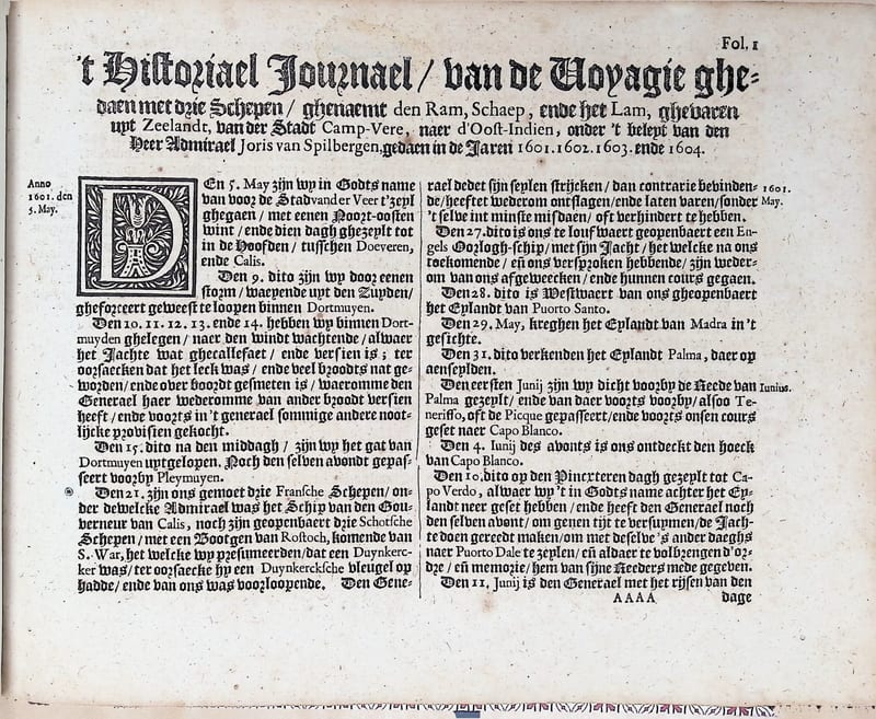
Historisch Journael, Spilbergen's Voyagie naar Oost-Indien (1601–1604)
Joris van Spilbergen (with Wolfhart Harmanszoon & Cornelis van Veen) · Amsterdam · 1646
€ 3.500
All 8 works: Joris van Spilbergen → · Joris van Spilbergen · The Dutch East India Company (VOC) · The Strait of Magellan and Cape Horn