Voyages & Discovery
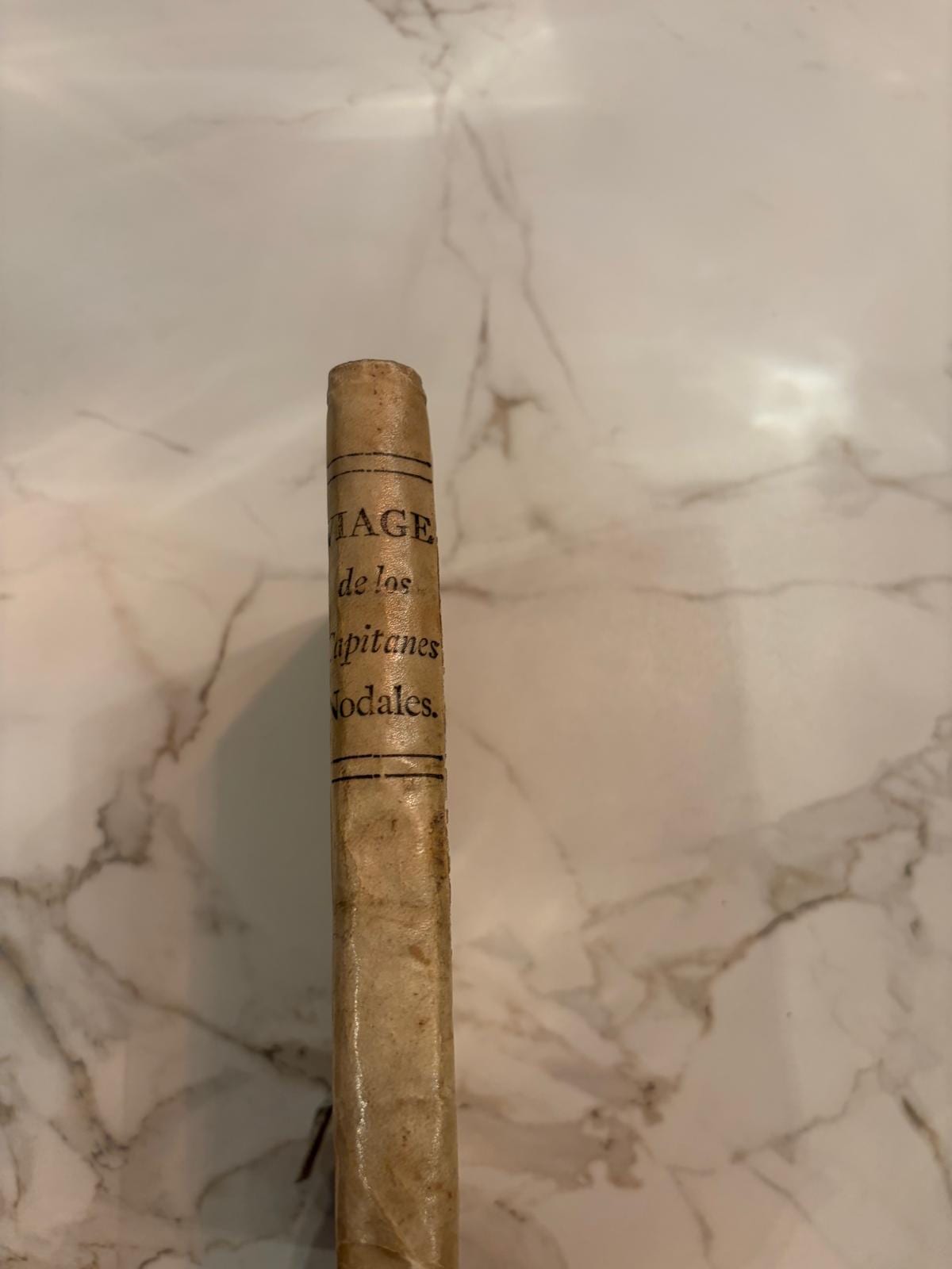
Relacion del viaje que por orden de su Magestad y acuerdo del Real Consejo de Indias hizieron los capitanes Bartolome Garcia de Nodal y Gonzalo de Nodal
Bartolomé García de Nodal and Gonzalo de Nodal · Cádiz · Manuel Espinosa de los Monteros · 1769
The only edition after the original of 1621 of the Nodal brothers' survey of Tierra del Fuego, with the rare folding map, bound with the Instruccion de las derrotas of 1753
FM-0092
€ 8.400
Key Properties
Edition: Second and only later edition, reprinted from the Madrid original of 1621
Language: Spanish
Format: Small quarto
Binding: Contemporary limp vellum, manuscript title on the spine, Viage de los capitanes Nodales
Illustration: One folding map dated 1769, 19.5 x 17 cm on a larger folding leaf, and various small woodcut coastal profiles
Collation & Technical Description
Two works in one volume, small quarto.
Nodal, Relacion del viaje, Cadiz, Espinosa, 1769: 10 unnumbered leaves; 162 pp.; 2 unnumbered leaves. One folding map dated 1769, and woodcut coastal profiles in the text.
Bound with: Instruccion de las derrotas y navegaciones en la America Septentrional, Cadiz, 1753: 44 pp. and one original blank leaf.
The Nodal text is preceded by four separate introductory pieces and followed by the second work, a set of derroteros or sailing directions for the coasts and islands of the Caribbean and North America.
Condition
A complete and clean copy in its original condition, in contemporary limp vellum. Tiny worming here and there, mainly marginal.
References & Bibliography
Palau 99486.
David Rodriguez Couto, Imperio y reputacion: el viaje de los hermanos Nodal y su mundo (Marcial Pons Historia, 2024).
Description
The one and only edition after the original of 1621 of the voyage of the Nodal brothers, sent by the Council of the Indies to explore and describe the southernmost part of South America. This reprint carries the very rare map of the region in reduced format, and is bound with a second book of sailing directions for the Caribbean and North American coasts.
Bartolome Garcia de Nodal and his brother Gonzalo sailed on 27 September 1618 and were home again on 9 July 1619, having gone round Tierra del Fuego and back through the Strait of Magellan without losing a man or a ship. They went because of what the Dutch had just done. Jacob le Maire and Willem Schouten had left Texel in June 1615, found the passage south of Tierra del Fuego that the Spanish did not know existed, and rounded the cape that Schouten named after his home town of Hoorn. Blaeu printed the first account of it in Amsterdam in September 1618. Within days the Council of the Indies had its answer ready: two captains, two small caravels, and orders to go and see for themselves.
The purpose of both voyages was the same, to secure a better entrance into the Pacific and from there a western approach to the Spice Islands. What makes the pair of them remarkable is the moment. The Dutch were fighting Spain for their independence from 1568 to 1648, but between 1609 and 1621 the two were bound by a truce, and it was precisely in those years that these explorations were made. Two countries at war, one Catholic and one Protestant, formally at peace, competing furiously for the same sea lanes at the other end of the world.
Spain had opened the western approach itself by sending Magellan, and defended its title in the conferences with Portugal at Badajoz and Elvas in 1524 and then at Zaragoza in 1529, where it gave up its claim to the Moluccas for 350,000 ducats. It nonetheless kept sending forces to settle the land on both sides of the Strait of Magellan from 1565. The Dutch, meanwhile, were probing every route at once: a fleet of five ships for the Strait, expeditions after the north-east passage to Cathay in 1594, and the Cape of Good Hope in 1598. It was an explosive thirst for exploration, trade and power, and this book is Spain's response to it.
Historical Significance
The Nodal voyage is the Spanish answer to Le Maire and Schouten, and it is the better piece of surveying. Where the Dutch passed through, the brothers circumnavigated Tierra del Fuego, fixed the Strait of Le Maire, discovered and named the Islas Diego Ramirez, the southernmost land known to Europeans for the next century and a half, and came home with a chart. They did it in nine and a half months without a single loss, which for a voyage into those latitudes in that century is close to unheard of.
The map is what collectors want. It appears in the original edition of 1621 and again here in reduced form, and it is the first Spanish survey of the far south made after the discovery of the Drake Passage. Copies of the 1621 edition are of the greatest rarity; this 1769 reprint is the only later edition and the only realistic way to hold the text and the map together.
The second work bound in, the Instruccion de las derrotas of 1753, belongs to a different world, that of the eighteenth-century Spanish Atlantic and its pilots. Together the two make a volume that runs from the first reconnaissance of Cape Horn to the working sailing directions of the mature empire.
Related works
Science · FM-0073
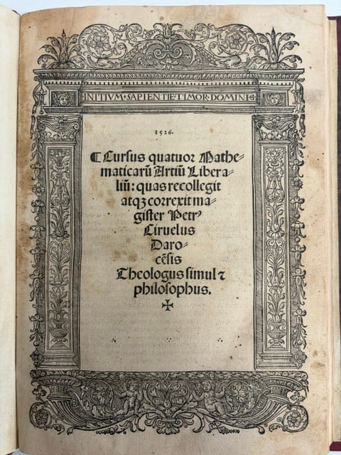
Cursus quattuor mathematicarum artium liberalium
CIRUELO, Pedro · Alcalá de Henares · 1516-1528
Price on request
Science · FM-0089
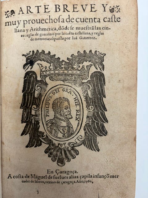
Arte breve y muy provechosa de cuenta castellana y Arithmetica
Gutierrez de Gualda, Juan · Zaragoza · 1566
€ 18.000
Books · FM-0200
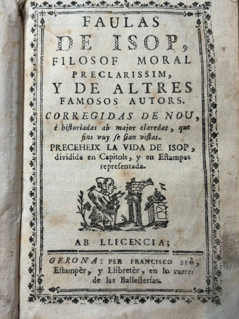
Faulas de Isop, filosof moral preclarissim, y de altres famosos autors. Corregidas de nou, e historiadas ab major claredat, que fins vuy se sian vistas. Preceheix la vida de Isop, dividida en capitols, y en estampas representada
Aesop (Isop) · Girona (Gerona) · n.d., c. 1790
€ 12.000
Science · FM-0112
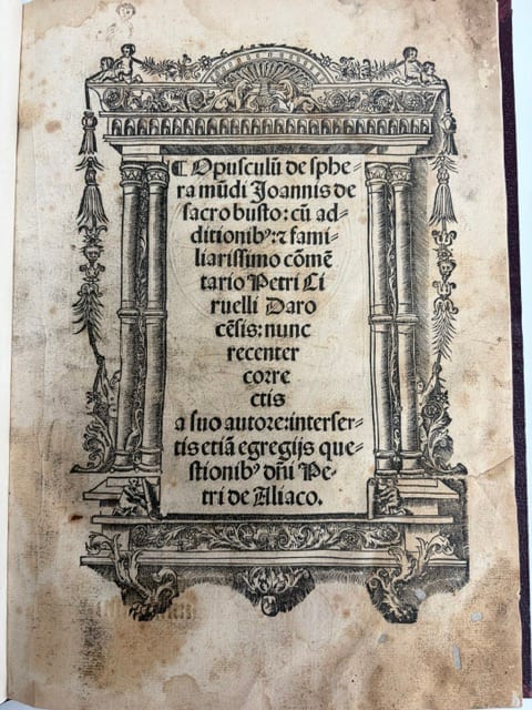
Opusculum de sphera mundi, cum commentario Petri Ciruelli
SACROBOSCO, Johannes de; CIRUELO, Pedro · Alcala de Henares · 1526
€ 5.000
All 7 works: Spanish books of science and the Indies → · Spanish books of science and the Indies · The Strait of Magellan and Cape Horn