Voyages & Discovery
Americae nona & postrema pars
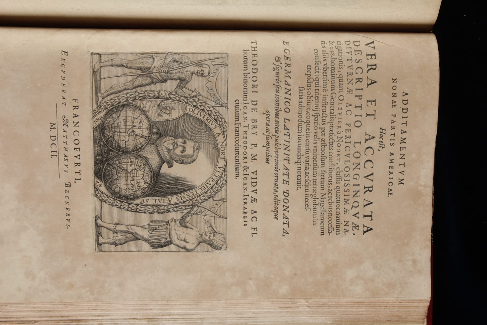
Theodor de Bry (issued by his sons Johann Theodor and Johann Israel de Bry); José de Acosta, Bernard Janszoon on Sebald de Weert, and Olivier van Noort · Frankfurt am Main · Printed by Matthäus Becker for the De Bry press · 1602
Part IX of the Grands Voyages, with Acosta on the natural world of the Indies and the first two Dutch voyages to the Strait of Magellan, complete with 39 plates and the map of the Strait
FM-0114
Price on request
Key Properties
Edition: First Latin edition of the ninth and last part of the America series
Language: Latin
Illustration: Engraved title-pages with vignettes, 39 engraved plates and one engraved map of the Fretum Magellanicum
Reference: Church 168
Collation & Technical Description
Three parts in one volume.
Part one (Acosta): 4 unnumbered leaves including the engraved title-page (Church 168 a); pp. 1 to 362 of text; a separate title-page to the plates; 25 plates numbered I to XXV, printed on the recto only, each with accompanying text.
Part two (De Weert): engraved title-page with a vignette of a fleet of ships, verso blank; pp. 3 to 56 of text; one engraved map, Fretum Magelanicum.
Part three (Van Noort): engraved title-page with a vignette portrait of Olivier van Noort (Church 168 b), verso blank; pp. 3 to 100 of text; 14 plates numbered I to XIV, printed on the recto only.
In all 39 plates and one map, besides the engraved title-pages, engraved head- and tailpieces and initials. This agrees with the copy in the John Carter Brown Library.
References & Bibliography
Church 168 (a and b).
Compared with the copy in the John Carter Brown Library (Biodiversity Heritage Library, bibliography 103136) and with the record of the Library of Congress (LCCN 50004218), both of which call for 25 plates numbered I to XXV, 14 plates numbered I to XIV, and one map of the Strait of Magellan.
Description
The ninth and last part of the Latin series of Theodor de Bry's Grands Voyages, and the part in which the De Bry press turned from the Spanish and Portuguese conquests to the Dutch. Theodor de Bry had died in 1598. The volume was carried through by his sons Johann Theodor and Johann Israel, and printed at Frankfurt by Matthäus Becker.
It gathers three texts. The first is José de Acosta's De natura novi orbis, the Jesuit's account of the natural world of the Indies, its climate, its metals, its plants and animals, and the peoples of Peru and Mexico, with a catalogue of the Mexican kings from the first to Motecuhzoma. The second is the voyage of Sebald de Weert, told after the journal of Bernard Janszoon: De Weert sailed in 1598 with the fleet of Mahu and De Cordes and spent a punishing year in the Strait of Magellan without ever reaching the Pacific. It is accompanied by the engraved map of the Fretum Magellanicum. The third is the circumnavigation of Olivier van Noort, the first voyage around the world made by a Dutchman.
The two Dutch voyages belong together, and the volume prints them together for good reason: the two fleets met in the Strait early in 1600, one coming west and one turning for home. Van Noort went on into the Pacific and into history. De Weert sailed north with a starving crew, and on the way sighted the islands off the Patagonian coast that were named the Sebald Islands after him, today the Jason Islands of the Falklands.
Van Noort had left Rotterdam in 1598 with four ships, the Mauritius, the Hendrick Frederick, the Hoop and the Eendracht. Only the Mauritius came home, in August 1601; the Eendracht was taken by the Spanish off Manila. The voyage returned no cargo and no plunder and was a financial disaster for its backers, but it broke the Iberian monopoly on the route around the world and it made the point that a Dutch merchant could do what Magellan, Drake and Cavendish had done.
Historical Significance
The De Bry Grands Voyages are the most important illustrated record of the European encounter with the Americas, and Part IX is where the Dutch enter that record. The plates of the two Dutch voyages are among the earliest printed images of the Strait of Magellan and of the peoples of Patagonia to reach a European readership, and they were copied and recopied for a century afterwards.
The map of the Fretum Magellanicum is the cartographic heart of the volume. The Strait had been the great obstacle and the great prize since Magellan passed it in 1520, and the Dutch attempts of 1598 to 1600 produced the first sustained northern European survey of it. Complete copies of Part IX with all 39 plates and the map are scarce, since the volume was frequently broken up for the sake of the plates.
Related works
Voyages & Discovery · FM-0022
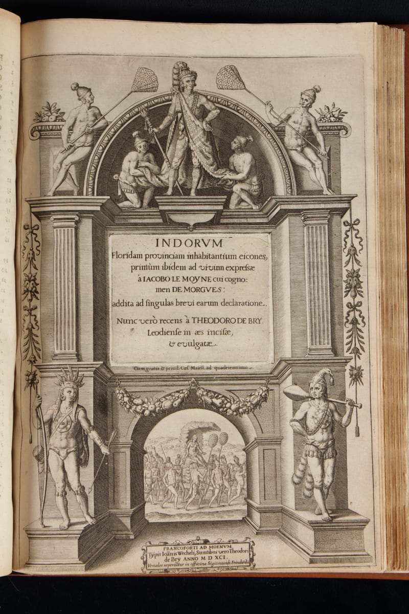
Grands Voyages & Petits Voyages, The Complete De Bry
Theodor de Bry (1528–1598) and sons Johann Theodor & Johann Israel de Bry · Frankfurt · 1590–1634
Price on request
Antique Maps · FM-0102
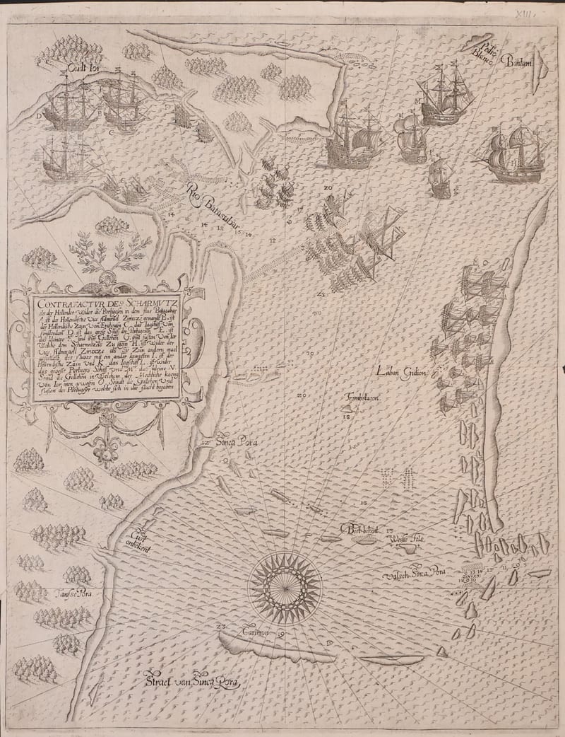
Contrafactur des Scharmutzels der Hollender wider die Portugesen in dem Flus Balusabar (Singapore and the Singapore Strait)
DE BRY, Johann Theodor and Johann Israel · Frankfurt am Main · 1606
€ 10.000
Antique Maps · FM-0136
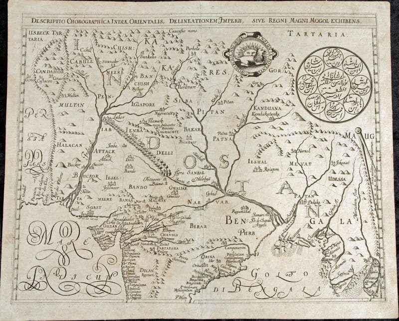
Descriptio Chorographica Indiae Orientalis, Delineationem Imperii, sive Regni Magni Mogol Exhibens (The Mughal Empire)
DE BRY, Johann Theodor and Johann Israel, after William Baffin · Frankfurt am Main · 1628
€ 5.500
Antique Views · FM-0100
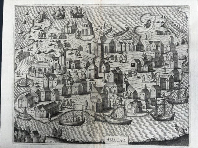
Amacao (Macao): the first printed view of Macao
DE BRY, Johann Theodor and Johann Israel · Frankfurt am Main · 1607
€ 4.000
All 5 works: Theodor de Bry and his sons → · Theodor de Bry and his sons · The Strait of Magellan and Cape Horn