Antique Maps
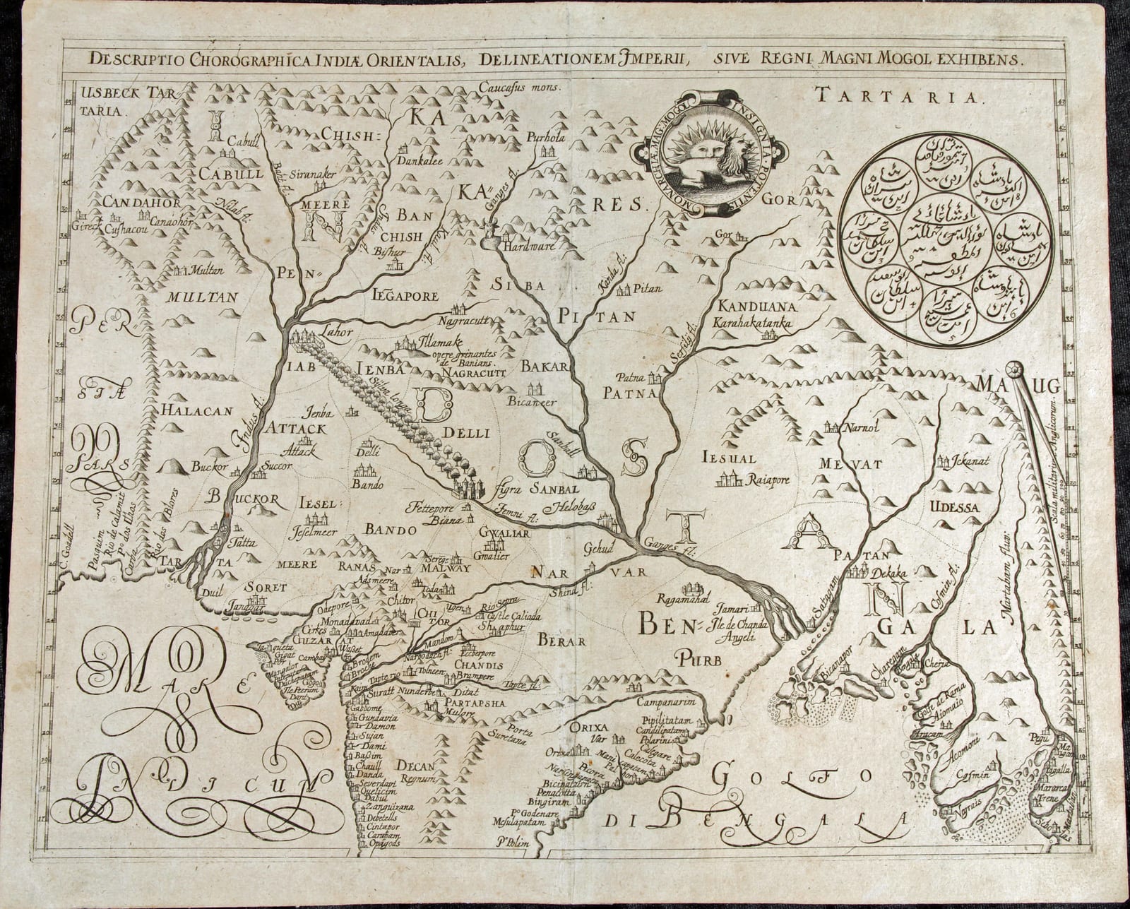
Descriptio Chorographica Indiae Orientalis, Delineationem Imperii, sive Regni Magni Mogol Exhibens (The Mughal Empire)
DE BRY, Johann Theodor and Johann Israel, after William Baffin · Frankfurt am Main · Wilhelm Fitzer · 1628
The De Bry map of the Mughal Empire from the exceptionally scarce Latin Part XII of the Petits Voyages, Frankfurt 1628: the earliest obtainable European map of Mughal India in the tradition of Sir Thomas Roe and William Baffin, with the dynastic seal of the emperor Jahangir in Persian script
FM-0136
€ 5.500
Key Properties
Edition: First Latin edition of Part XII of the Petits Voyages (Historiarum Orientalis Indiae Tomus XII), the final Latin part of the series
Language: Latin
Format: Copperplate engraving on laid paper, folded as issued
Dimensions: Sheet 31 x 40.5 cm (height x width)
Colouring: Uncoloured, as issued
Cartographic source: Reduced from the map of the Mughal Empire published in London in 1619 after the material gathered on Sir Thomas Roe's embassy to the court of Jahangir, associated with the navigator William Baffin
Collation & Technical Description
A single sheet, the map engraved within a double ruled border, the title in a panel along the top edge: DESCRIPTIO CHOROGRAPHICA INDIAE ORIENTALIS, DELINEATIONEM IMPERII, SIVE REGNI MAGNI MOGOL EXHIBENS. The map covers the Mughal dominions from Kabul (Cabull) and Kandahar (Candahor) in the north-west, across the Punjab and the Ganges plain, to Bengal and the Bay of Bengal (Golfo di Bengala), with Persia at the left edge, Tartaria along the top and the Indian Ocean (Mare Indicum) in the lower left. Among the many places named are Cabull, Candahor, Multan, Lahor, Delli, Agra, Fettepore, Gwaliar, Patna, Bengala, Cambaya, Surat, Guzarat, Decan and Orixa. The Indus and Ganges river systems are prominently engraved, the mountain ranges shown pictorially and the towns marked with small vignettes. In the upper right a large circular device carries the dynastic seal of the emperor Jahangir, retaining the Persian script of the original; to the left of it the lion-and-sun emblem within the legend INSIGNIA POTENTISSIMI REGIS MOGOL. Calligraphic lettering for the seas, with a scale of German miles at the right margin. Latin text on the verso as issued.
Condition
A strong, evenly printed impression with the engraved image complete and good margins on all sides. Some browning and light scattered spotting, a little heavier towards the sheet edges; the customary central fold; a slight tear at the right-hand edge, well clear of the engraved image. A very good example of a map that is seldom found in any condition.
References & Bibliography
Church 224 (Latin Part XII, 1628; Church's own copy lacking the two maps). John Carter Brown Library, Bibliotheca Americana, I (2), pp. 444 to 445. Crawford, Bibliotheca Lindesiana, p. 185. Huth and Ellis, A Description and Collation of the Series of De Bry's Voyages. Susan Gole, India within the Ganges (New Delhi 1983), on the Roe and Baffin map and its derivatives. Susan Gole, Early Maps of India (New Delhi 1976).
Description
A rare and important early seventeenth-century map of the Mughal Empire, covering the greater part of the Indian subcontinent from Kabul and Kandahar in the north-west across northern India to Bengal. It was issued with the Latin Historiarum Orientalis Indiae Tomus XII, published at Frankfurt in 1628 by Wilhelm Fitzer, who had taken over the De Bry business. This was the final Latin part of the Petits Voyages, the great collection of voyages to the East Indies begun by Theodor de Bry in 1598 and continued by his sons Johann Theodor and Johann Israel. The Latin Part XII gathered the material that had appeared as Parts XII and XIII in the German sequence, and contains accounts of recent English and Dutch voyages with fourteen engraved illustrations in the text and two maps.
The scarcity of this final part, and of its two maps in particular, is well documented. Church's own copy lacked both maps, and the modern bibliographical descriptions of complete first-edition Latin sets note Part XII and its maps among the most difficult components of the whole series to obtain. The present map is thus among the rarest of all the De Bry maps.
The cartography descends directly from the map of the Mughal Empire published in London in 1619, prepared from geographical information gathered during Sir Thomas Roe's embassy to the court of the emperor Jahangir (1615 to 1619) and associated with the English navigator and cartographer William Baffin. That map was the first European attempt to show the interior of northern India from information obtained on the spot rather than from Ptolemaic and Portuguese coastal tradition, and it remained the standard image of Mughal India for the rest of the century. The De Bry version brought this new geography to the Continental public within a decade.
The most striking feature is the large circular device in the upper right: the dynastic seal of Jahangir, in which the emperor's name is surrounded by those of his Timurid ancestors, all retained in Persian script. Beside it appears the lion-and-sun emblem with the legend INSIGNIA POTENTISSIMI REGIS MOGOL. The careful preservation of the Persian script has been noted by specialists as evidence that the engraver did not simply copy the printed English map but had access to a related or additional source.
Historical Significance
Roe's embassy marked the first formal diplomatic contact between the English crown and the Mughal court, and its cartographic result was the first map of India built on European observation of the interior. Through the De Bry edition this knowledge entered the standard collection of voyages read across Europe, at the moment when the Dutch and English East India companies were establishing themselves on the coasts of the subcontinent. As a document of the meeting of European cartography with the imperial self-representation of the Mughals, expressed in the seal of Jahangir, the map stands among the most important early modern European representations of India.
Provenance
Available on request.
Related works
Voyages & Discovery · FM-0022
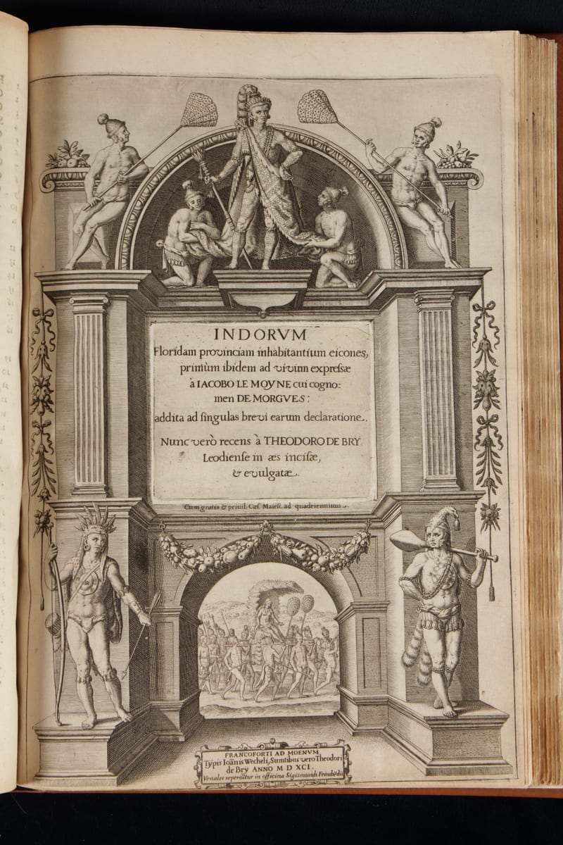
Grands Voyages & Petits Voyages, The Complete De Bry
Theodor de Bry (1528–1598) and sons Johann Theodor & Johann Israel de Bry · Frankfurt · 1590–1634
Price on request
Antique Maps · FM-0102
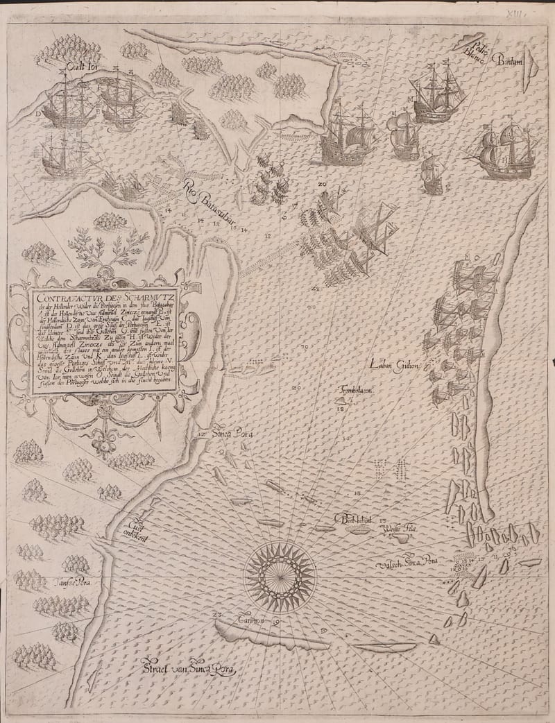
Contrafactur des Scharmutzels der Hollender wider die Portugesen in dem Flus Balusabar (Singapore and the Singapore Strait)
DE BRY, Johann Theodor and Johann Israel · Frankfurt am Main · 1606
€ 10.000
Antique Views · FM-0100
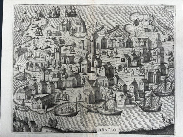
Amacao (Macao): the first printed view of Macao
DE BRY, Johann Theodor and Johann Israel · Frankfurt am Main · 1607
€ 4.000
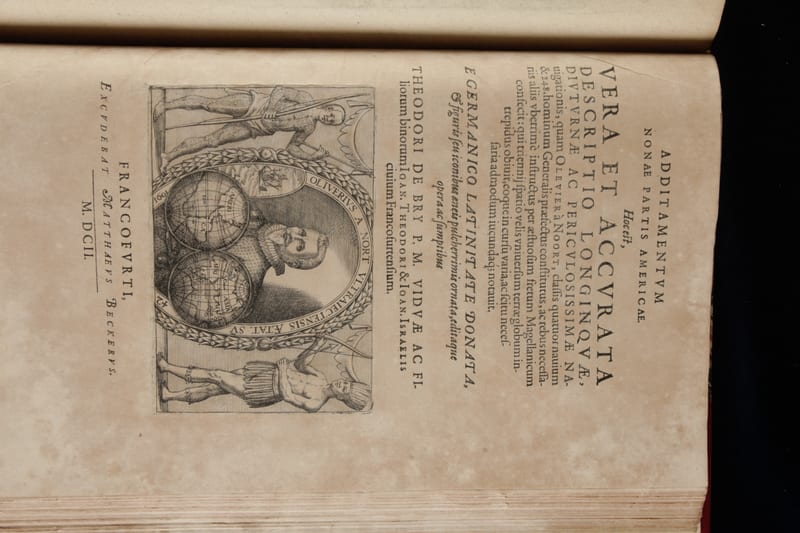
Voyages & Discovery · FM-0114
Americae nona & postrema pars
Theodor de Bry (issued by his sons Johann Theodor and Johann Israel de Bry); José de Acosta, Bernard Janszoon on Sebald de Weert, and Olivier van Noort · Frankfurt am Main · 1602
Price on request
All 5 works: Theodor de Bry and his sons → · Theodor de Bry and his sons · The Dutch East India Company (VOC)