Antique Maps
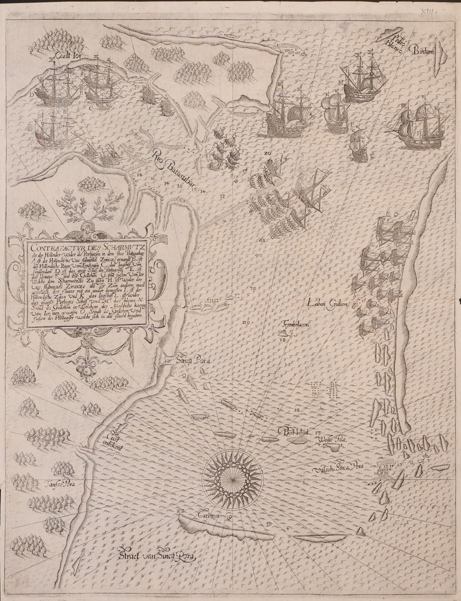
Contrafactur des Scharmutzels der Hollender wider die Portugesen in dem Flus Balusabar (Singapore and the Singapore Strait)
DE BRY, Johann Theodor and Johann Israel · Frankfurt am Main · Wolfgang Richter for Johann Theodor and Johann Israel de Bry · 1606
The earliest detailed printed map of Singapore and the Singapore Strait, plate XIII from the sole German edition of Part VIII of De Bry's Petits Voyages, Frankfurt 1606, recording the Dutch and Portuguese fighting at the mouth of the Johor River in October 1603
FM-0102
€ 10.000
Key Properties
Edition: Sole German edition of Part VIII of the Petits Voyages (Achter Theil der Orientalischen Indien), plate XIII
Language: German
Format: Copperplate engraving on laid paper
Dimensions: Sheet 34.2 x 26.5 cm (height x width)
Colouring: Uncoloured, as issued
Orientation: East at the top
Collation & Technical Description
A single sheet, the engraved plate number XIII at the upper right. Oriented with east at the top, the map shows the Johor River (Rio Balusabar) descending from the top left, the island of Singapore marked Sinca Pora at the centre left, the waters to the south lettered Straet van Sinca Pora, and the surrounding islands, shoals and channels towards Bintan and Karimun. A large compass rose with radiating rhumb lines, soundings and sailing tracks give the sheet the character of a sea chart. Dutch and Portuguese ships are shown in action in the river mouth and the eastern approaches, each vessel keyed by a letter to the explanatory German text in the ornamental cartouche at the left, which opens with the title Contrafactur des Scharmutzels der Hollender wider die Portugesen in dem Flus Balusabar. Wooded coasts, native craft and a fine wave pattern complete the image. Blank verso as issued.
Condition
A strong, clear impression with the complete engraved border, the plate number and good margins on all sides. Slight browning of the sheet and the usual horizontal fold; a slight tear at the right-hand edge, outside the engraved image and not affecting it. A very fine example of a plate that is rarely found in this state.
References & Bibliography
Church 239 (German India, Part VIII, sole edition, Frankfurt 1606). Garratt, The Map Collector 9, P7. Suarez, Early Mapping of Southeast Asia (Singapore 1999), fig. 100. Borschberg, The Singapore and Melaka Straits: Violence, Security and Diplomacy in the 17th Century (Singapore 2010), on the events of 1603 and the De Bry plate. Huth and Ellis, A Description and Collation of the Series of De Bry's Voyages.
Description
A rare and highly important early map of Singapore and its surrounding waters, generally regarded as the earliest detailed printed map devoted to Singapore and the strategically vital Singapore Strait. It was published at Frankfurt in 1606 as plate XIII of the Achter Theil der Orientalischen Indien, the German Part VIII of the Petits Voyages, the great collection of voyages to the East Indies issued by the De Bry family. The German part, printed by Wolfgang Richter for Johann Theodor and Johann Israel de Bry, appeared in a single edition only; the Latin Part VIII followed in 1607.
Singapore appears prominently as Sinca Pora, one of the earliest printed appearances of the name on a map, and the waters to the south are lettered Straet van Sinca Pora. The map is oriented with east at the top and shows the Johor River, the island of Singapore, the surrounding islands and shoals, and the approaches towards Bintan and Karimun. Soundings, sailing lines and a large compass rose give the image a distinctly nautical character, and the careful rendering of ships and coastline makes it at once a cartographic document and a visual record of early seventeenth-century maritime conflict in Southeast Asia.
The engraving records the fighting between Dutch and Portuguese forces at the mouth of the Johor River in October 1603, in the first years of the Dutch presence in the region. The fleets are shown in action around the south-eastern approaches to Singapore, with the vessels keyed by letters to the explanatory German cartouche. The plate thus belongs directly to the earliest phase of Dutch commercial and military expansion in the East Indies and to the struggle with Portugal for control of the sea routes through the Straits, the lifeline of the spice trade.
Historical Significance
The Singapore Strait was the hinge of the sea route between the Indian Ocean and the South China Sea, and control of it decided who could trade with the Moluccas, China and Japan. The Dutch arrival there in the opening years of the seventeenth century, with the seizure of the Portuguese carrack Santa Catarina off Singapore in 1603 and the fighting recorded on this plate, marked the beginning of the end of Portuguese dominance in Asian waters and the rise of the VOC. As the first detailed printed image of Singapore, this map stands at the head of the printed cartography of the island and is a foundational document for any collection devoted to Singapore, the Straits, the VOC or the European expansion in Asia.
Provenance
Available on request.
Related works
Voyages & Discovery · FM-0022
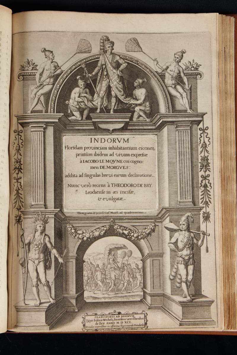
Grands Voyages & Petits Voyages, The Complete De Bry
Theodor de Bry (1528–1598) and sons Johann Theodor & Johann Israel de Bry · Frankfurt · 1590–1634
Price on request
Antique Maps · FM-0136
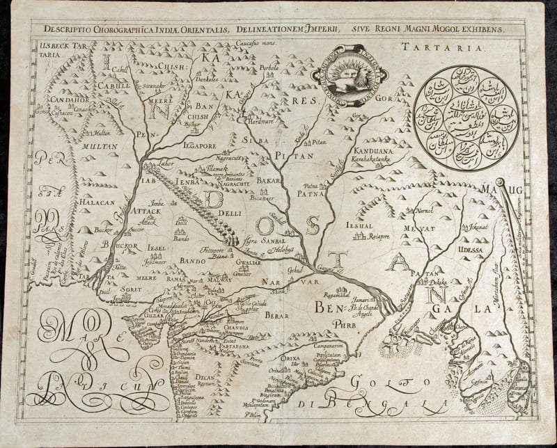
Descriptio Chorographica Indiae Orientalis, Delineationem Imperii, sive Regni Magni Mogol Exhibens (The Mughal Empire)
DE BRY, Johann Theodor and Johann Israel, after William Baffin · Frankfurt am Main · 1628
€ 5.500
Antique Views · FM-0100
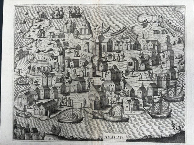
Amacao (Macao): the first printed view of Macao
DE BRY, Johann Theodor and Johann Israel · Frankfurt am Main · 1607
€ 4.000
Voyages & Discovery · FM-0114
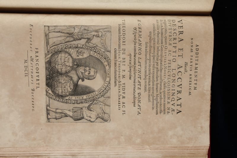
Americae nona & postrema pars
Theodor de Bry (issued by his sons Johann Theodor and Johann Israel de Bry); José de Acosta, Bernard Janszoon on Sebald de Weert, and Olivier van Noort · Frankfurt am Main · 1602
Price on request
All 5 works: Theodor de Bry and his sons → · Theodor de Bry and his sons · The Dutch East India Company (VOC)