Antique Maps
Tierra Nova (South America)
RUSCELLI, Girolamo (after Giacomo Gastaldi) · Venice · Vincenzo Valgrisi · 1561 (or the reissue of 1562)
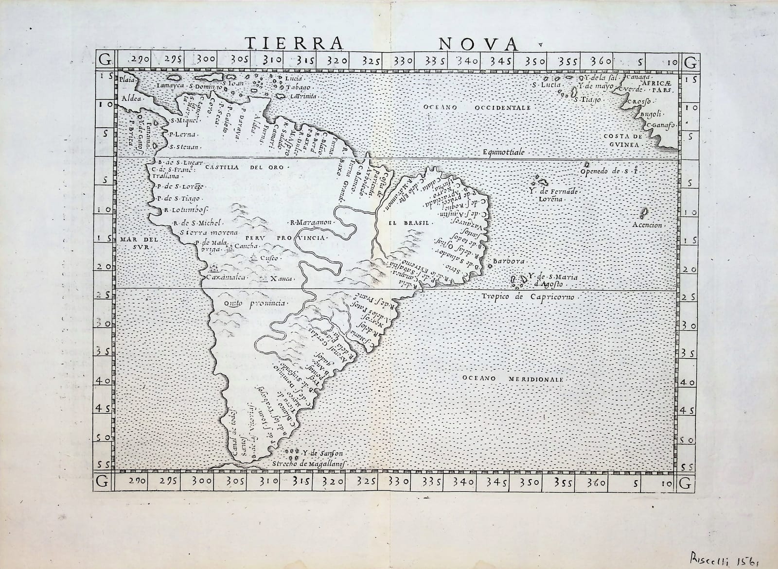
Ruscelli's map of South America, the Ventesimanona Tavola Nuova of his Ptolemy, Venice 1561, enlarged from Gastaldi's Tierra Nova of 1548: the whole continent from the Caribbean to the Strait of Magellan, with Peru, El Brasil and the Rio de la Plata.
FM-0161
€ 850
Key Properties
Edition: Girolamo Ruscelli, La Geografia di Claudio Tolomeo Alessandrino, Venice, Vincenzo Valgrisi 1561 (reissued 1562); this sheet with the Italian text and page number XXIX on the verso, signature Ff
Plate: Tavola Nuova XXIX (Ventesimanona Tavola Nuova), an enlarged copy of Gastaldi's Tierra Nova of 1548
Language: Italian
Format: Copperplate engraving on laid paper, the sheet with the customary central fold
Map: approximately 18 x 24 cm
Colouring: Uncoloured, as issued
Collation & Technical Description
One leaf, map recto, letterpress text verso (Tierra Nueva, Ventesimanona Tavola Nuova), with the heading and a woodcut initial. The map with graduated border, the Equator and Tropic of Capricorn drawn across, the names Tierra Nova, Mar del Sur, Oceano Occidentale, Oceano Meridionale, Castilia del Oro, Peru Provincia, El Brasil, Rio de la Plata, Stretto de Magallanes, and the Costa de Guinea of Africa in the upper right corner.
Condition
Central fold as issued, with light creasing. Paper lightly and evenly toned, a few faint spots; margins good all round, the lower margin with an old pencil note (Ruscelli 1561). A crisp, early impression.
References & Bibliography
Shirley, Maps in the Atlases of the British Library, T.PTOL-6 (Ruscelli's Ptolemy, Venice 1561 to 1599). Karrow, Mapmakers of the Sixteenth Century, 30/94 and 30/96 (Gastaldi's Tierra Nova, 1548, and Ruscelli's enlargement). Cf. Burden 30 and 31 for the companion maps of North America in the same atlas. Companion to the Brasil Nuova Tavola (FM-0201) from the same atlas.
Description
The first separately printed atlas map of South America to be widely available, in the form Ruscelli gave it for the Venetian Ptolemy of 1561. Ruscelli re-engraved on a larger scale the small map that Giacomo Gastaldi had drawn for the pocket Ptolemy of 1548, the first regional atlas of the New World. The continent appears in its characteristic mid-sixteenth-century outline, its southern half bulging to the east, the Amazon and the Rio de la Plata drawn as great rivers, the Andes as a hatched ridge along the Pacific coast, the Strait of Magellan at the foot. The names record the Spanish and Portuguese conquests of the previous forty years: Castilia del Oro, Peru Provincia with Cuzco and Lima, El Brasil with the captaincies of the coast, the Rio de la Plata and Patagonia; the Costa de Guinea in the upper right corner reminds the reader how narrow the Atlantic was thought to be. The Italian text on the verso gives Ruscelli's account of the new lands.
A clean, early impression from the first edition of 1561 or the reissue of 1562, the sheet complete with its text.
Historical Significance
Gastaldi's Ptolemy of 1548 and Ruscelli's enlargement of 1561 were the atlases through which mid-sixteenth-century Europe learned the shape of the Americas; the Tierra Nova is the general map of South America in that series and the prototype for the continent in Italian cartography until Ortelius.
Provenance
Frederik Muller Rare Books, Amsterdam (stock of the firm; formerly catalogued together with the Brasil Nuova Tavola, now FM-0201, as one lot).
Related works
Antique Maps · FM-0156
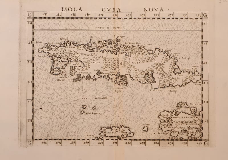
Isola Cuba Nova
RUSCELLI, Girolamo (after Giacomo Gastaldi) · Venice · 1561 or later
€ 850
Antique Maps · FM-0201
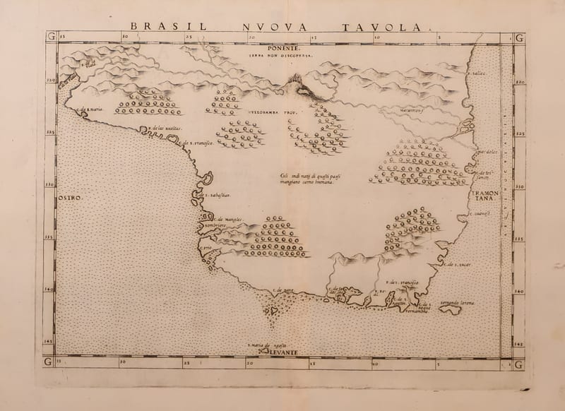
Brasil Nuova Tavola (Brazil)
RUSCELLI, Girolamo (after Giacomo Gastaldi) · Venice · 1561 (or the reissue of 1562)
€ 650
Antique Maps · FM-0185
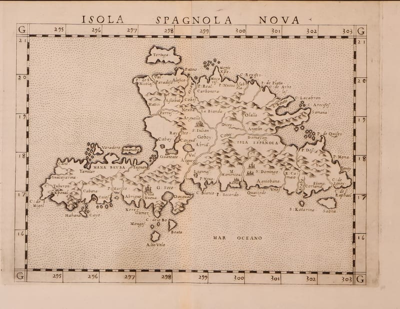
Isola Spagnola Nova
RUSCELLI, Girolamo (after Giacomo Gastaldi) · Venice · 1561 or later
€ 600
Antique Maps · FM-0017
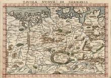
TAVOLA NUOVA DI GERMANIA
Girolamo Ruscelli, after Giacomo Gastaldi · Venice · probably the edition of 1562 (plate from 1561)
€ 370
All 5 works: Giacomo Gastaldi and Girolamo Ruscelli → · Giacomo Gastaldi and Girolamo Ruscelli · Ptolemy, the printed Geographia · The Strait of Magellan and Cape Horn