Antique Maps
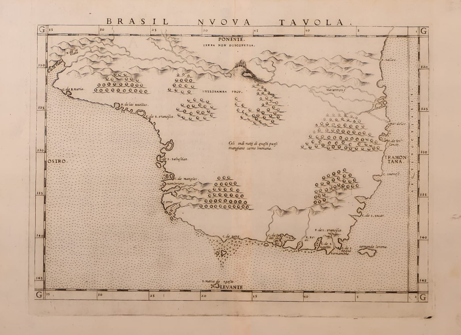
Brasil Nuova Tavola (Brazil)
RUSCELLI, Girolamo (after Giacomo Gastaldi) · Venice · Vincenzo Valgrisi · 1561 (or the reissue of 1562)
Ruscelli's map of Brazil, the Trentesima Tavola Nuova of his Ptolemy, Venice 1561, enlarged from Gastaldi's Brasil of 1548: the first printed map devoted to Brazil, from the mouth of the Amazon to the Rio de la Plata.
FM-0201
€ 650
Key Properties
Edition: Girolamo Ruscelli, La Geografia di Claudio Tolomeo Alessandrino, Venice, Vincenzo Valgrisi 1561 (reissued 1562); this sheet with the Italian text and page number XXX on the verso, signature Gg
Plate: Tavola Nuova XXX (Trentesima Tavola Nuova), an enlarged copy of Gastaldi's Brasil Nuova Tavola of 1548, the first printed map of Brazil. First state, with the engraved note on the native inhabitants in the interior (replaced by a pictorial vignette in the later editions) and the plate running off the top edge
Language: Italian
Format: Copperplate engraving on laid paper, the sheet with the customary central fold
Map: approximately 18 x 24 cm
Colouring: Uncoloured, as issued
Collation & Technical Description
One leaf, map recto, letterpress text verso (Brasile, Trentesima Tavola Nuova), with heading and woodcut initial. The map with graduated border and the compass names Ponente, Levante, Tramontana and Ostro, the Tropic of Capricorn drawn across; the coast from the Rio de las Amazonas past Cabo de S. Agostino to the Rio de la Plata, the interior with rows of stylised trees, mountains and the note on the Amazons (Terra non discoperta).
Condition
Central fold as issued. Paper lightly toned, a few faint spots and a small stain in the lower margin; the verso with some light browning. Margins good all round, an old pencil note (Ruscelli) in the lower margin. A good, early impression.
References & Bibliography
Shirley, Maps in the Atlases of the British Library, T.PTOL-6 (Ruscelli's Ptolemy, Venice 1561 to 1599). Karrow, Mapmakers of the Sixteenth Century, 30/95 and 30/97 (Gastaldi's Brasil, 1548, and Ruscelli's enlargement). Companion to the Tierra Nova (FM-0161), the general map of South America from the same atlas.
Description
The first printed map devoted to Brazil, in the enlarged version that Ruscelli engraved for the Venetian Ptolemy of 1561 after Gastaldi's small plate of 1548. The map shows the whole Portuguese coast from the mouth of the Amazon, drawn as a broad estuary at the upper left, round Cabo de S. Agostino and the bulge of the continent down to the Rio de la Plata, with the ports and rivers named by the Portuguese pilots: Pernambuco, the Baia de Todos os Santos, Porto Seguro, the Rio de Ianeiro and S. Vicente. The interior is filled in the Italian manner with ranges of mountains and rows of trees, the brazilwood forests that gave the country its name, and a note marks the land of the Amazons as not yet discovered. The map is oriented with west at the top, so that the coast runs from left to right across the sheet, a convention Gastaldi took over from the Portuguese charts.
A clean, early impression of the first state, from the first edition of 1561 or the reissue of 1562: the interior still carries the engraved note on the native inhabitants that was later cut away and replaced by a vignette. The sheet complete with its Italian text on the verso.
Historical Significance
Together with its companion Tierra Nova, this is the first atlas map to treat Brazil as a country in its own right, sixty years after Cabral; it fixed the image of the Portuguese colony for Italian and European readers until the Dutch maps of the seventeenth century.
Provenance
Frederik Muller Rare Books, Amsterdam (stock of the firm; formerly catalogued together with the Tierra Nova as one lot).
Related works
Antique Maps · FM-0156
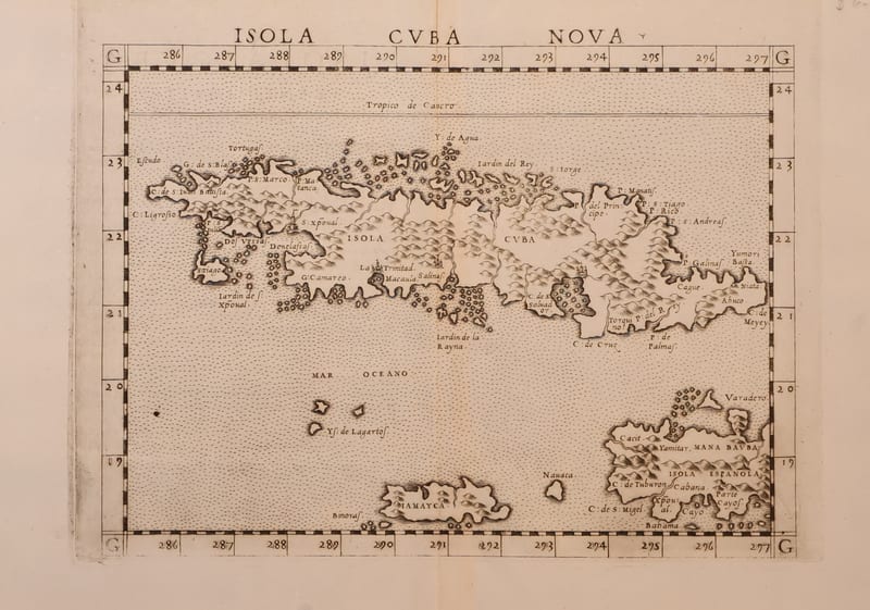
Isola Cuba Nova
RUSCELLI, Girolamo (after Giacomo Gastaldi) · Venice · 1561 or later
€ 850
Antique Maps · FM-0161
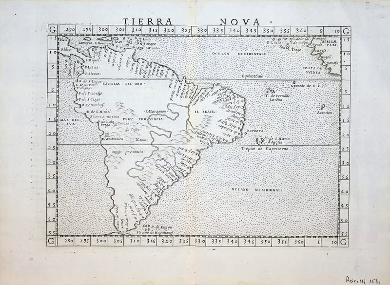
Tierra Nova (South America)
RUSCELLI, Girolamo (after Giacomo Gastaldi) · Venice · 1561 (or the reissue of 1562)
€ 850
Antique Maps · FM-0185
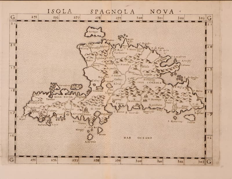
Isola Spagnola Nova
RUSCELLI, Girolamo (after Giacomo Gastaldi) · Venice · 1561 or later
€ 600
Antique Maps · FM-0017
TAVOLA NUOVA DI GERMANIA
Girolamo Ruscelli, after Giacomo Gastaldi · Venice · probably the edition of 1562 (plate from 1561)
€ 370
All 5 works: Giacomo Gastaldi and Girolamo Ruscelli → · Giacomo Gastaldi and Girolamo Ruscelli · Ptolemy, the printed Geographia