Antique Maps
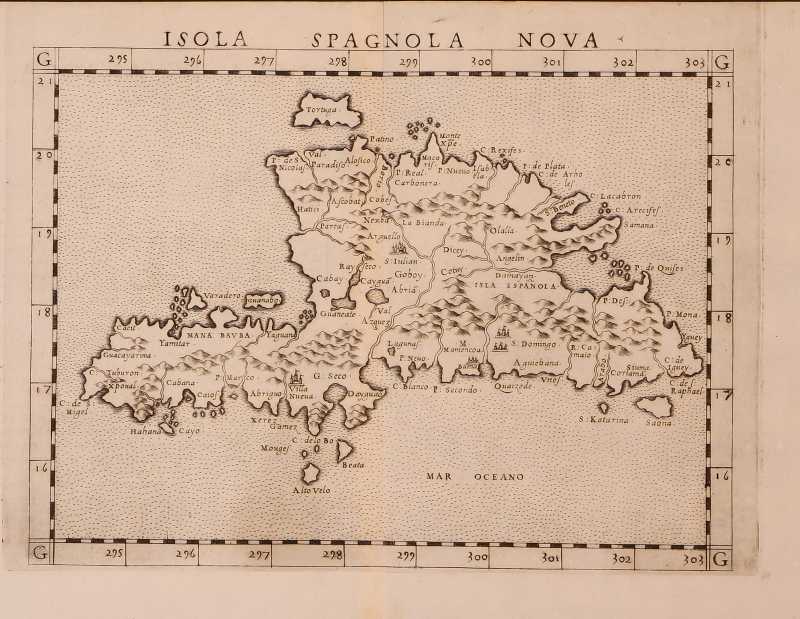
Isola Spagnola Nova
RUSCELLI, Girolamo (after Giacomo Gastaldi) · Venice · Vincenzo Valgrisi (or Giordano Ziletti) · 1561 or later
Ruscelli's map of Hispaniola, Tavola Nuova XXXIIII of his Italian Ptolemy, Venice 1561 or later, after Gastaldi's map of 1548: one of the two earliest printed maps devoted to the island, with Italian text on the verso
FM-0185
€ 600
Key Properties
Edition: Girolamo Ruscelli, La Geografia di Claudio Tolomeo Alessandrino, Venice, Vincenzo Valgrisi 1561 (reissued 1562 and 1564) or Giordano Ziletti 1574; this sheet with the text and page number XXXIIII on the verso, signature Ll
Plate: Tavola Nuova XXXIIII (Trentesimaquarta Tavola Nuova), an enlarged copy of Gastaldi's Isola Spagnola Nova of 1548
Language: Italian
Format: Copperplate engraving on laid paper, the sheet with the customary central fold
Map: approximately 18 x 25 cm
Colouring: Uncoloured, as issued
Collation & Technical Description
A single sheet, the map engraved within a graduated border with the plate number G at the corners, the title ISOLA SPAGNOLA NOVA lettered along the upper margin. The island of Hispaniola fills the sheet, with its mountain ranges, rivers and the Spanish towns, among them Santo Domingo, Puerto Plata, Monte Christi, La Yaguana and Isabela, the Isla Saona and Isla Beata off the coasts, the Isola de la Tortuga, the Mona passage and a stippled sea lettered MAR OCEANO. On the verso the Italian text of the Trentesimaquarta Tavola Nuova, headed Ysla Espaniola Nueva, with a woodcut initial, page number XXXIIII and signature Ll.
Condition
Very good condition. A strong, clear impression on a full sheet with wide margins; the central fold as issued, light even toning and a little faint offsetting from the text on the verso. Detailed condition report available on request.
References & Bibliography
Burden, The Mapping of North America, entries for Ruscelli's Isola Cuba Nova and Isola Spagnola Nova (Venice 1561, with the later states and editions) and for Gastaldi's prototypes of 1548. Shirley, Maps in the Atlases of the British Library, T.PTOL-6 (Ruscelli's Ptolemy, Venice 1561 to 1599). Karrow, Mapmakers of the Sixteenth Century, on Gastaldi and Ruscelli. Phillips, A List of Geographical Atlases, on the Valgrisi and Ziletti editions.
Description
The map of Hispaniola from Girolamo Ruscelli's Italian edition of Ptolemy, first published at Venice by Vincenzo Valgrisi in 1561 and reissued, from the same plates, in 1562, 1564 and (by Giordano Ziletti) 1574 and 1598 to 1599. Ruscelli's atlas contained, besides the 27 Ptolemaic maps, a series of 'tavole nuove' or modern maps, most of them copied and enlarged from the small maps that Giacomo Gastaldi had engraved for the Venice Ptolemy of 1548. Among these were the first regional maps of the New World ever published in an atlas, including separate maps of Cuba and of Hispaniola.
The present map is the Hispaniola, Tavola Nuova XXXIIII. It follows Gastaldi's map of 1548, the first printed map devoted to the island, on a considerably larger scale, so that the place-names of the first Spanish colony in the Americas stand out clearly: Santo Domingo, founded in 1496 and the oldest European city of the New World, Isabela, Columbus's first settlement, Puerto Plata, Monte Christi and the ports of the north and south coasts, with the offshore islands of Saona, Beata and Tortuga. The outline of the island, broad and deeply indented, derives from the Spanish charts of the early sixteenth century and remained the standard image of Hispaniola in printed maps until the end of the century. The engraving, with its stippled sea and pictorial mountains, is characteristic of the fine Venetian copperplate work of the 1560s.
The verso carries the Italian text of the 'thirty-fourth new map', headed Ysla Espaniola Nueva, with a woodcut initial and the page number XXXIIII, as in the Valgrisi and Ziletti editions. Ruscelli's atlas was the first in which the maps were printed from copperplates on pages with letterpress text on the verso, a technique that Ortelius would adopt for the Theatrum a decade later.
Historical Significance
Gastaldi's map of 1548 and Ruscelli's enlargement of it are the two earliest printed maps of Hispaniola, the island where the European settlement of the Americas began, and the Ruscelli plate remained in use for four decades. As the first atlas maps of the individual islands of the Caribbean, they mark the moment when the New World began to be mapped region by region rather than as a single continent.
Provenance
Available on request.
Related works
Antique Maps · FM-0156
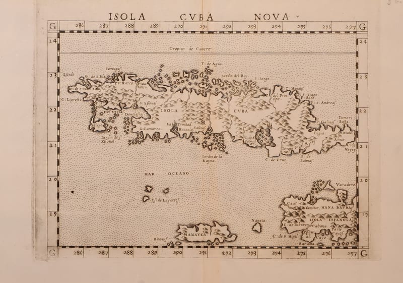
Isola Cuba Nova
RUSCELLI, Girolamo (after Giacomo Gastaldi) · Venice · 1561 or later
€ 850
Antique Maps · FM-0161
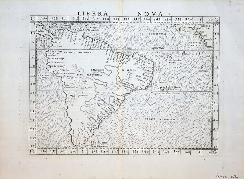
Tierra Nova (South America)
RUSCELLI, Girolamo (after Giacomo Gastaldi) · Venice · 1561 (or the reissue of 1562)
€ 850
Antique Maps · FM-0201
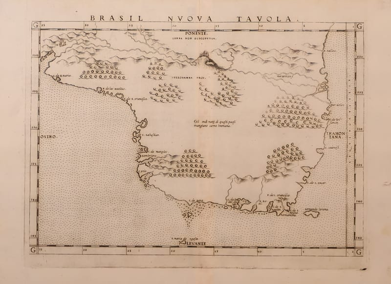
Brasil Nuova Tavola (Brazil)
RUSCELLI, Girolamo (after Giacomo Gastaldi) · Venice · 1561 (or the reissue of 1562)
€ 650
Antique Maps · FM-0017
TAVOLA NUOVA DI GERMANIA
Girolamo Ruscelli, after Giacomo Gastaldi · Venice · probably the edition of 1562 (plate from 1561)
€ 370
All 5 works: Giacomo Gastaldi and Girolamo Ruscelli → · Giacomo Gastaldi and Girolamo Ruscelli · Ptolemy, the printed Geographia