Antique Maps
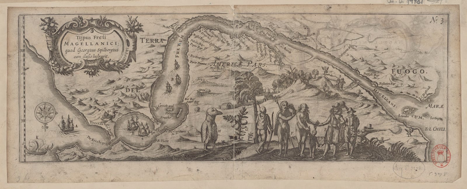
Tijpus Freti Magellanici, quod Georgius Spilbergius cum classe lustravit (The Strait of Magellan)
SPILBERGEN, Joris van, and Nicolaes van GEELKERCKEN · Leiden · Nicolaes van Geelkercken · 1619
Spilbergen's chart of the Strait of Magellan, plate 3 of the Oost ende West-Indische Spiegel of 1619, showing the passage of the VOC fleet in 1615 with the ships, the encounters with the Patagonians, the penguin and the sea lions: map, travel account, ethnography and natural history on one sheet, uncoloured as issued
FM-0157
€ 1.500
Key Properties
Edition: Oost ende West-Indische Spiegel / Speculum Orientalis Occidentalisque Indiae Navigationum, Leiden, Nicolaes van Geelkercken, 1619, plate N. 3 (the plate was used again in the French Miroir Oost & West-Indical of 1621)
Language: Latin title
Format: Copperplate engraving on laid paper, folded as issued
Dimensions: Sheet 17 x 45 cm (height x width); the image about 15 x 43.5 cm
Orientation: South at the top, north at the bottom (the orientation inversée of the Bibliothèque nationale's catalogue)
Colouring: Uncoloured, as issued
Engraver: attributed to Nicolaes van Geelkercken, the publisher, whom recent research names as the probable engraver of Spilbergen's plates
Collation & Technical Description
A long oblong chart of the Strait of Magellan, oriented with south at the top, the Atlantic entrance at the left and the exit to the Pacific and the coast of Chile at the right; the title in a cartouche, Tijpus Freti Magellanici, quod Georgius Spilbergius cum classe lustravit, and the plate number N. 3 at the upper right. Spilbergen's ships are shown making their way through the strait; of the six ships that left Holland five pass through, the sixth having been taken by mutineers and turned back. Along the shores the events of the passage are keyed by letters: at the right the Dutch sailors face the Patagonians, first attacked and later trading food and wine with them; in the centre a very large penguin; sea lions, local plants and fruits, huts of the natives and the mountains of Tierra del Fuego complete the picture. Blank verso as issued.
Condition
A strong, sharp impression, the lines of the mountains, figures and cartouche crisp, without loss to the image. The customary vertical central fold. Uncoloured, as issued. Presently framed; the illustration shown is the example in the Bibliothèque nationale de France, reproduced for reference; margins, verso and watermark of our example to be examined out of the frame, full condition report and photographs on request.
References & Bibliography
Tiele, Mémoire bibliographique sur les journaux des navigateurs néerlandais, on the Spilbergen editions of 1619 and 1621. Landwehr, VOC: A Bibliography of Publications relating to the Dutch East India Company. Rijksmuseum, Amsterdam, an example of the same plate (154 x 438 mm), dated 1617 to 1619. Bibliothèque nationale de France, an example dated about 1620 (435 x 150 mm). Sabin 89445 (Oost ende West-Indische Spiegel) and 89450 (Speculum).
Description
Joris van Spilbergen (1568 to 1620) left Holland in 1614 with six ships in the service of the Dutch East India Company, passed through the Strait of Magellan in 1615, fought the Spanish fleet off the coast of Peru, crossed the Pacific by way of the Ladrones and the Philippines and came home through the Indies in 1617: the first circumnavigation by a fleet of the VOC. The account of the voyage appeared in 1619 at Leiden with Nicolaes van Geelkercken as the Oost ende West-Indische Spiegel and, in Latin, as the Speculum Orientalis Occidentalisque Indiae Navigationum, and in 1621 in French as the Miroir Oost & West-Indical; because the book also carried the journal of Le Maire and Schouten, whose survivors Spilbergen took home, it became the vehicle for the discovery of Cape Horn as well.
This is plate 3 of that book, the chart of the Strait of Magellan, and one of the most attractive plates in the work. It is not only a map. Oriented with south at the top, it shows the fleet entering from the Atlantic on the left and working its way to the Pacific on the right, five ships where six had set out, the sixth having been taken by mutineers and turned back. Along the shores the engraver has set the incidents of the passage, keyed by letters to the text: the meetings with the Patagonians, who first attacked the Dutch and later traded food for wine; the huts and the plants and fruits of the country; the sea lions; and, in the middle of the sheet, an enormous penguin, one of the earliest European images of the bird. Map, travel account, ethnography and natural history are combined on a single strip of copper, a picture story of the expedition.
The plate is attributed to Van Geelkercken himself, who is now regarded as the probable engraver of Spilbergen's maps. The Rijksmuseum dates the print 1617 to 1619; examples from the editions of 1619 and 1621 are known, and the present sheet is offered as from the Leiden edition of 1619 pending a comparison of state and paper.
Historical Significance
The chart records the Dutch passage of the Strait at the very moment when Dutch knowledge of the southern tip of America changed for good: Spilbergen's fleet went through the Strait in 1615, and in the following year Le Maire and Schouten found the open sea route round Cape Horn. The book of 1619 that carried both accounts stands among the most important Dutch travel publications of the early seventeenth century, and this plate is its most vivid image of the encounter between the Dutch and the far south.
Provenance
Available on request.
Related works
Voyages & Discovery · FM-0041
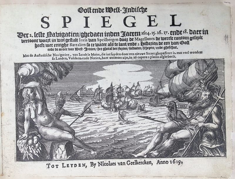
Oost ende West-Indische Spiegel
Joris van Spilbergen; with Jacob le Maire and Willem Schouten, Australische Navigatien · Leiden · 1619
Price on request

Voyages & Discovery · FM-0105
Speculum orientalis occidentalisque Indiae navigationum
Joris van Spilbergen; with Jacob le Maire, Navigationes Australes · Leiden · 1619
€ 15.000
Voyages & Discovery · FM-0043
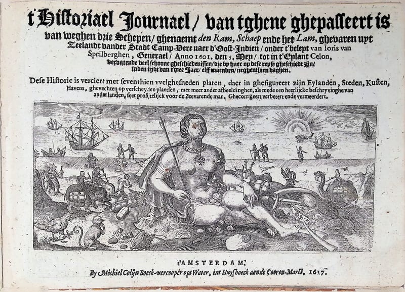
’t Historiael Journael van Joris van Spilbergen naer Oost-Indien (Ceylon)
Joris van Spilbergen · Amsterdam · 1617
€ 9.000
Voyages & Discovery · FM-0035
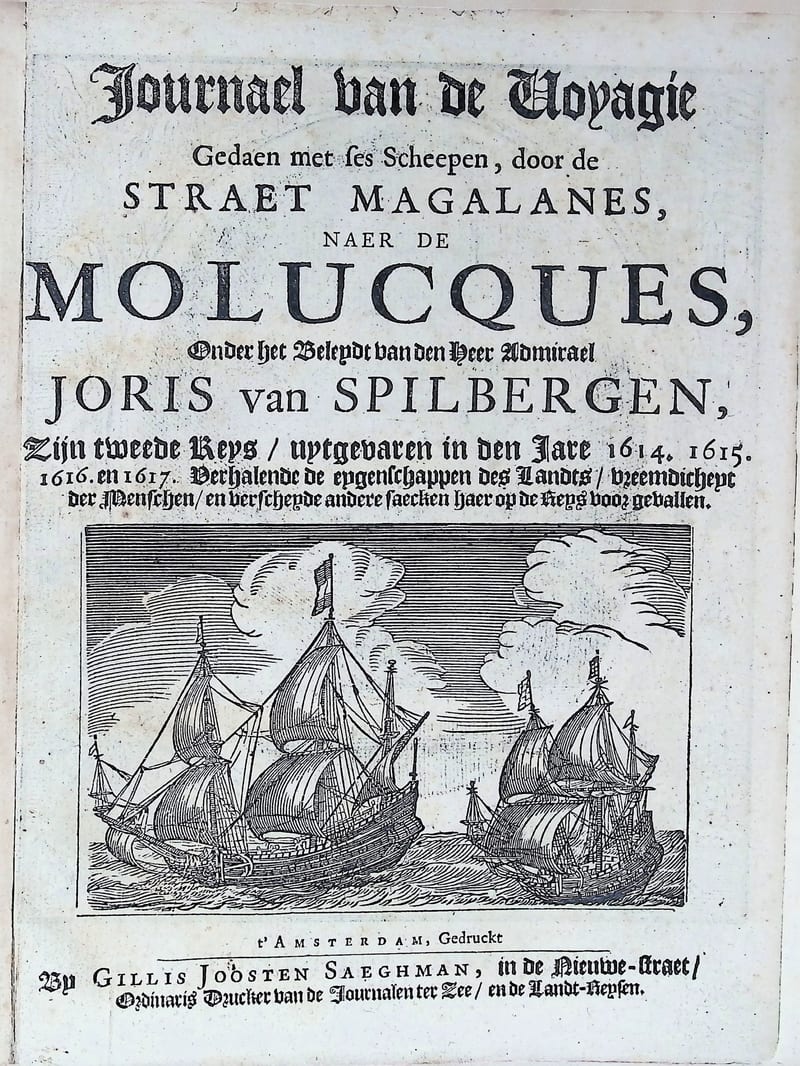
Oost ende West Indische Spieghel
Joris van Spilbergen (text by Jan Cornelisz May) · Amsterdam · circa 1663
€ 7.000
All 8 works: Joris van Spilbergen → · Joris van Spilbergen · The Dutch East India Company (VOC) · The Strait of Magellan and Cape Horn