Antique Maps
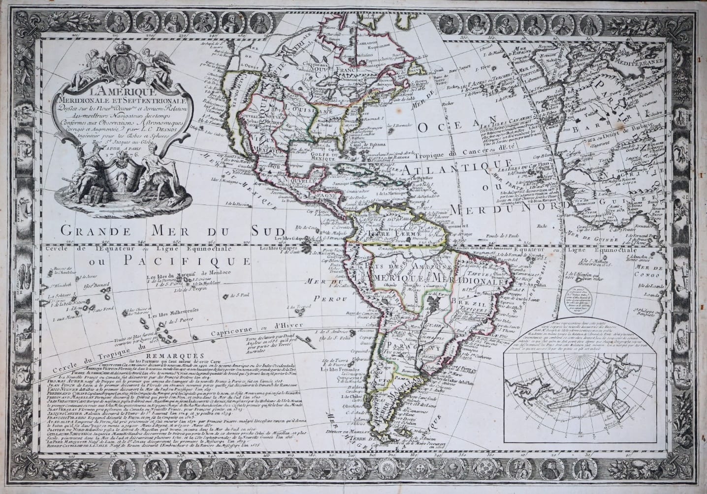
L'Amérique Méridionale et Septentrionale, dressée sur les nouvelles découvertes et dernières relations des meilleurs navigateurs de ce temps (The Americas with portraits of the explorers)
DESNOS, Louis Charles · Paris · Louis Charles Desnos · 1776
Desnos's large and decorative map of the Americas in the edition of 1776, the year of the Declaration of Independence, surrounded by twenty-four portraits of the explorers and conquerors of the New World, in contemporary outline colour and excellent condition
FM-0133
€ 2.200
Key Properties
Edition: Desnos's edition of 1776 of the map first published by Guillaume Danet in Paris in 1731 and reworked by Desnos from 1760
Language: French
Format: Copperplate engraving on laid paper
Dimensions: Sheet 50 x 70.5 cm (height x width)
Colouring: Contemporary outline colour
Prime meridian: Isle de Fer (El Hierro, Canary Islands)
Collation & Technical Description
A large single-sheet map of the western hemisphere: North and South America, the Atlantic and the eastern Pacific, with the Prime Meridian drawn through the Isle de Fer. The map is framed by a border of twenty-four portrait medallions of the discoverers and conquerors of the American continent and, in some cases, their adversaries, among them Columbus, Vespucci, Cortés and Montezuma, Pizarro and Atahualpa, Cabot, Cartier and La Salle, alternating with armorial medallions of the provinces and colonies. A large cartouche in the upper left with the arms of France; an inset in the lower right of the Russian discoveries in the north-eastern regions of Asia and the north-west of America. Dated 1776 in the imprint.
Condition
Excellent condition, no repairs. A strong impression in fresh contemporary outline colour, with ample margins; on the verso a little offsetting of the colour and an old collector's stamp, otherwise clean.
References & Bibliography
Tooley, The Mapping of America. McLaughlin, The Mapping of California as an Island (for the earlier states of the Danet plate). Pedley, Bel et Utile: The Work of the Robert de Vaugondy Family of Mapmakers (on the Paris map trade of Desnos's day).
Description
A large and richly decorated map of the Americas, published in Paris by Louis Charles Desnos in 1776, the year of the Declaration of Independence. The plate was first issued by Guillaume Danet in 1731 and taken over and reworked by Desnos, who brought the geography up to date from 1760 onwards and reissued it into the 1770s. The present edition shows the continent at a historically charged moment: the Seven Years' War, the French and Indian War of the American colonies, had been fought and lost by France; the American Revolution had begun the year before; and France, now sympathetic to the rebels, would enter the war on their side two years later.
Desnos shows North America as it stood before the Revolution: the thirteen British colonies along the eastern seaboard, the former French possessions to the north, and the Spanish in Florida, Louisiana and California. In Central America Mexico, curiously labelled Vieux Mexique for New Mexico, stretches as one country from the north down to the Darien. In South America the eastern border of Brazil still broadly follows the Tordesillas line of 1494, here extended to take in the northern shore of the Rio de la Plata, present-day Uruguay, while leaving out the Amazon delta. The inset in the lower right records the Russian discoveries in the north-eastern regions from the voyages of Bering and Chirikov.
The great charm of the map lies in its border: twenty-four portrait medallions of the men who discovered and conquered the New World, and in several cases of their adversaries, Cortés paired with Montezuma and Pizarro with Atahualpa, so that the map reads as a gallery of the age of discovery as well as a picture of the Americas on the eve of independence.
Historical Significance
Published in the year of American independence, the map documents the political geography of the Americas at the last moment before it was redrawn, seen through French eyes at the very time France was deciding to support the rebellion. The portrait border makes it one of the most attractive eighteenth-century French maps of the continent and a fitting companion to the travel accounts and maps of the age of discovery that the portraits commemorate.
Provenance
Available on request.
Related works
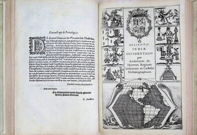
Voyages & Discovery · FM-0033
Spieghel der Australische navigatie
Jacob le Maire; Antonio de Herrera; Pedro Ordóñez de Ceballos · Amsterdam · 1621–1622
€ 35.000
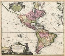
Antique Maps · FM-0013
TOTIUS AMERICAE SEPTENTRIONALIS ET MERIDIONALIS NOVISSIMA REPRAESENTATIO
Johann Baptist Homann · Nuremberg · First state, c. 1710
€ 1.750
All 3 works: California as an island →