Antique Maps
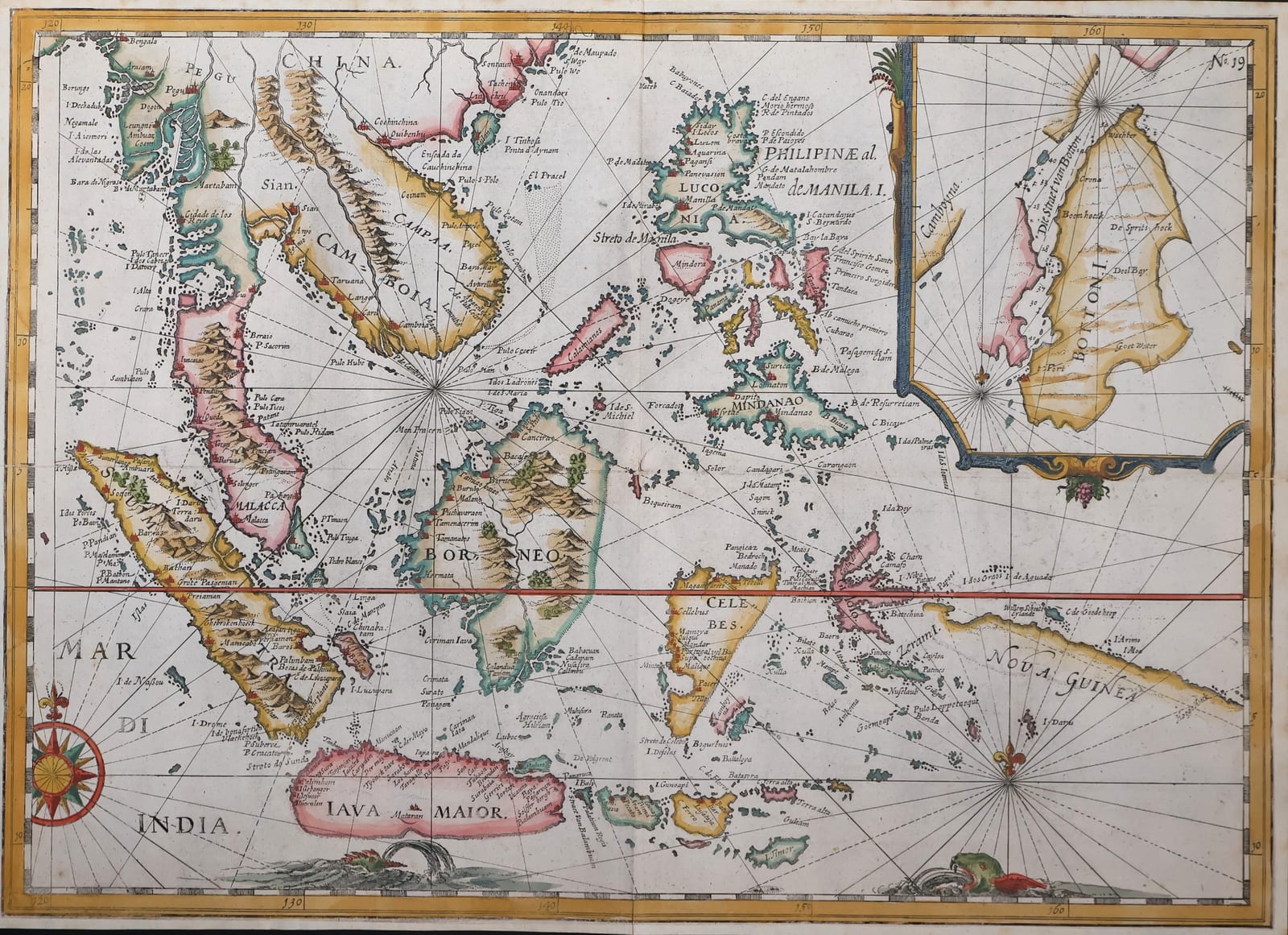
The East Indies from Malacca and Sumatra to New Guinea, with an inset of the island of Buton (Oost ende West-Indische Spiegel, plate 19)
SPILBERGEN, Joris van · Leiden · Nicolaes van Geelkercken · 1619
Spilbergen's chart of the East Indies from Malacca and Sumatra to New Guinea, with an inset of the island of Buton, plate 19 of the Oost ende West-Indische Spiegel, the account of the first Dutch circumnavigation by a VOC fleet, Amsterdam 1619, in later hand-colour
FM-0181
€ 2.200
Key Properties
Edition: Oost ende West-Indische Spiegel, Leiden, Nicolaes van Geelkercken, 1619, plate 19 (numbered N. 19 at the upper right)
Language: Dutch place names, Latin regional names
Format: Copperplate engraving on laid paper, folded as issued
Dimensions: Sheet 32.5 x 45 cm (height x width)
Colouring: Later hand-colour
Collation & Technical Description
A chart of the whole Indonesian archipelago and its approaches, from the coast of China and Cambodia (Camboia) and the Malay peninsula (Malacca) in the north-west, across Sumatra, Borneo (Borneo), Celebes and the Philippines (Philippinae al. de Manila I., with Luzon), to Java (Iava Maior) in the south and New Guinea (Nova Guinea) in the east; the Mar di India in the lower left with a large compass rose. Rhumb lines radiate from several compass centres; the equator is drawn in red. In the upper right an inset chart of the island of Buton (Botton I.) and the strait between Buton and Muna, through which Spilbergen's fleet passed in 1616. Small ships and a sea monster in the seas, the graduated border in the usual colouring. Plate number N. 19 at the upper right.
Condition
A good impression in later hand-colour. Folded as issued; some browning and spotting, mostly in the margins, and an old paper reinforcement on the verso along part of the central fold.
References & Bibliography
Tiele, Mémoire bibliographique sur les journaux des navigateurs néerlandais. Landwehr, VOC: A Bibliography of Publications relating to the Dutch East India Company. Sabin 89445 (Spilbergen, Oost ende West-Indische Spiegel) and 89450 (Speculum). Schilder, Monumenta Cartographica Neerlandica, on the Amsterdam charting of the East Indies in the early seventeenth century.
Description
Joris van Spilbergen (1568 to 1620) commanded the fleet of six ships with which the Dutch East India Company sent him round the world in 1614 to 1617: through the Strait of Magellan, up the coast of Chile and Peru, where he defeated the Spanish fleet off Cañete, to Acapulco, across the Pacific to the Ladrones and the Philippines, and through the Moluccas and the Strait of Buton to Java, from where the ships returned to Holland. It was the first circumnavigation by a fleet of the VOC and the first Dutch voyage to force the Spanish Pacific with naval power. On the way home Spilbergen took on board the survivors of the voyage of Le Maire and Schouten, who had just discovered Cape Horn, so that his book became the vehicle for their discovery as well.
The Oost ende West-Indische Spiegel, published in Amsterdam in 1619 by Nicolaes van Geelkercken, with a Latin edition in the same year, is the official account of the voyage and one of the finest illustrated travel books of its time, with charts, coastal views and plates of the fleet's engagements. The present sheet is plate 19: the general chart of the East Indies, showing the whole archipelago from Malacca and Sumatra to New Guinea, the field of operations of the young Company, with the inset of the island of Buton and the strait through which the fleet passed on its way from the Moluccas to Java.
The chart reflects the state of Dutch knowledge of the Indies after two decades of voyages: the Philippines and Borneo are shown in the detailed outline of the Amsterdam sea charts, Celebes still in its old truncated form, and New Guinea only in its western part. It is in later hand-colour.
Historical Significance
Spilbergen's voyage marked the moment at which the Dutch Company moved from trading in the Indies to controlling them, in the years in which Coen founded Batavia and the VOC drove the Spaniards and Portuguese from the Moluccas. This chart is the picture of that theatre as the Company's own captains saw it, published for the shareholders and the public of Amsterdam.
Provenance
Available on request.
Related works
Voyages & Discovery · FM-0041
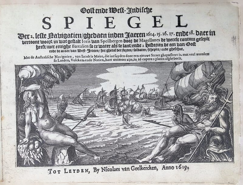
Oost ende West-Indische Spiegel
Joris van Spilbergen; with Jacob le Maire and Willem Schouten, Australische Navigatien · Leiden · 1619
Price on request

Voyages & Discovery · FM-0105
Speculum orientalis occidentalisque Indiae navigationum
Joris van Spilbergen; with Jacob le Maire, Navigationes Australes · Leiden · 1619
€ 15.000
Voyages & Discovery · FM-0043
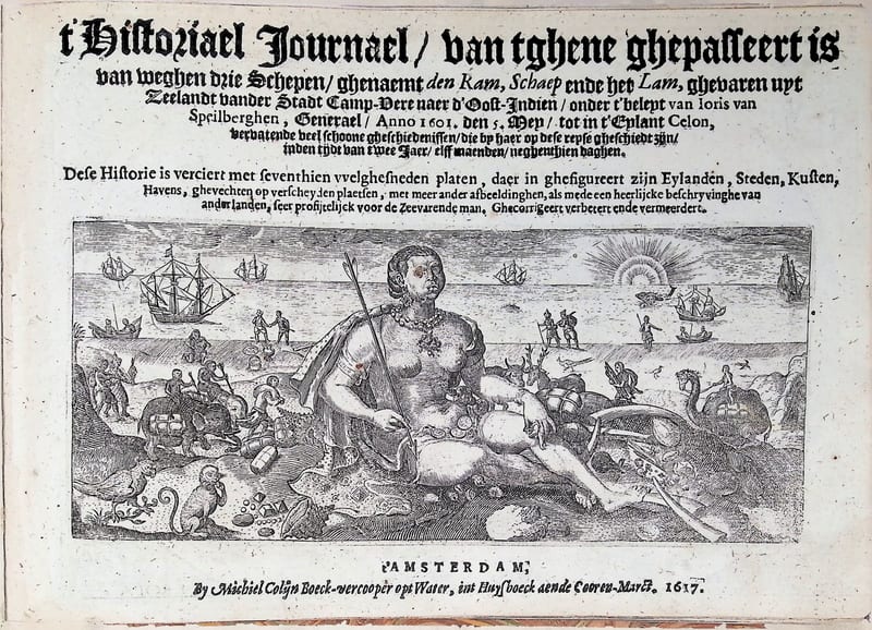
’t Historiael Journael van Joris van Spilbergen naer Oost-Indien (Ceylon)
Joris van Spilbergen · Amsterdam · 1617
€ 9.000
Voyages & Discovery · FM-0035
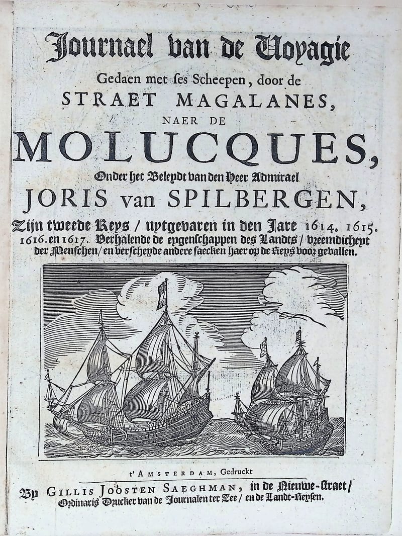
Oost ende West Indische Spieghel
Joris van Spilbergen (text by Jan Cornelisz May) · Amsterdam · circa 1663
€ 7.000
All 8 works: Joris van Spilbergen → · Joris van Spilbergen · The Dutch East India Company (VOC)