Voyages & Discovery
DELLE NAVIGATIONI (1613, 1583, 1606)
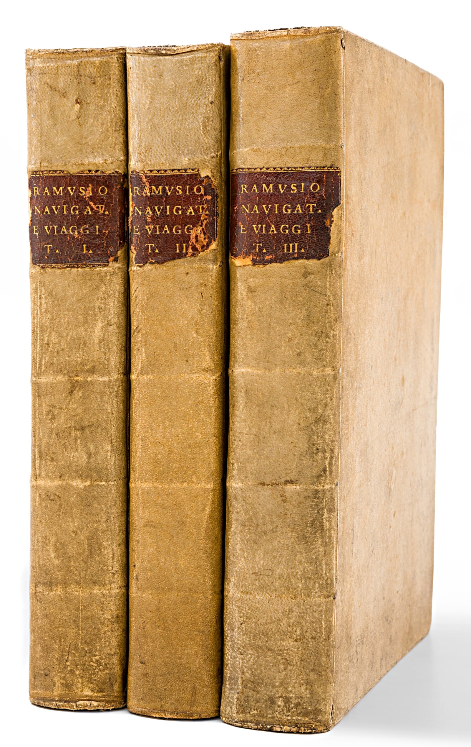
Giovanni Battista Ramusio (1485-1557) · Tommaso Giunti, Venice · Vol. 1: 1613; Vol. 2: 1583; Vol. 3: 1606
et Viaggi raccolte da M. Gio. Battista Ramusio, in tre volumi divise
FM-0024
Price on request
Key Properties
Edition: Mixed set: Vols. I & III in their final editions; Vol. II third edition
Language: Italian
Format: Folio, three volumes
Binding: Matching 18th-century vellum bindings
Collation & Technical Description
Three folio volumes with a total of 12 historically important maps, numerous woodcut illustrations throughout, and woodcut initials, head- and tail-pieces. The maps comprise three double-page engraved maps in Volume I and nine woodcut maps and plans in Volume III (seven folding and two full-page).
Volume I (1613, sixth and final edition): Africa, India, southern Asia and the East Indies. Originally published in 1550. The most complete text, including five letters on Japan written in 1549-1550. Contains accounts of Da Gama, Alvarez and Pigafetta. Three double-page engraved maps and plans.
Volume II (1583, third edition): Central Asia, Russia and the Northern Sea. Originally planned for publication around 1556-1557, but a catastrophic fire in Ramusio's workshop in 1557 destroyed the woodblocks, and the first edition appeared in 1559 without maps. This 1583 edition carries further additions over the 1574 edition; notably it contains, on leaves 211-219, the Navigatione di Sebastiano Cabota (an account of Sebastian Cabot's explorations), not present in the earlier 1558 and 1573 Venice editions. No maps.
Volume III (1606, third and final edition): Entirely devoted to America. Includes accounts of Columbus, Vasco da Gama, Peter Martyr, Oviedo, Cortés, Cabeza de Vaca, Guzmán, Ulloa, Coronado, Fray Marcos di Niza, Fernando Alarcón, Xerez, Verrazano and Cartier. Nine maps of the Americas, Africa and the East Indies (seven folding and two full-page woodcut). Contains Gerrit de Veer's Tre navigationi fatte da gli Olandese, not found in the original 1556 Venice edition.
Condition
Folio, in matching 18th-century vellum with burgundy leather spine labels; a uniformly bound set. The leather spine labels show some edge chipping. Volume two has minimal light old damp staining to the upper gutter corner of the first fifteen leaves. Volume one lacks the final blank leaf; the set is otherwise complete.
Volume one contains three double-page engraved maps; volume three contains seven folding and two full-page woodcut maps. Leaf counts: Volume 1: [4], 394 numbered leaves; Volume 2: 256, 90 numbered leaves; Volume 3: 430 numbered leaves.
The titles carry a woodcut printer's device, which also appears on the final leaf of volumes 2 and 3. Woodcut initials and in-text illustrations of indigenous people, fauna, flora and architectural plans appear throughout. The set is clean and well printed, the woodcut maps and views showing strong impressions.
References & Bibliography
Church 99: "one of the earliest and most important collections of voyages and travels of the sixteenth century." European Americana 613/108, 583/59 & 606/88. Sabin 67735, 67738 & 67742. Mathes, California Colonial Bibliography: 2.
Western Hemisphere map: Burden 24; cf. Burden 34; Wheat 9. Wagner, Cartography of the Northwest Coast of America, 35.
New France map: Cohen & Augustyn, Manhattan in Maps, p. 18; Burden 25; Augustyn & Cohen p. 18; McCorkle 556.1; Kershaw 15b; Verner & Stuart-Stubbs 2; Goss 8; Suarez 26; Potter, p. 241.
La Terra Hochelaga nella Nova Francia: Ganong, Crucial Maps, p. 303-314. Goss, The Mapping of North America, #7.
Description
Giovanni Battista Ramusio (1485-1557) was no armchair geographer. As secretary to the Venetian Senate from 1515 and to the Council of Ten (Venice's feared intelligence and security council) from 1533, he occupied one of the most strategically informed positions in Europe. Every dispatch from Venetian ambassadors, every report from trading posts across the Levant, every account brought home by returning navigators passed through his hands. He transformed this extraordinary access into something unprecedented: a systematic compilation of the primary sources of global exploration.
The result, published by Tommaso Giunti in Venice across three folio volumes, invented a new literary form. Where Sebastian Münster's cosmography still placed Europe at the centre of a familiar world, Ramusio demonstrated that the entire globe was inhabited, navigable, and open to commerce. He did not merely collect and reprint; he annotated, compared, and challenged his sources, adding his own essays on subjects ranging from the flooding of the Nile to the spice trade. The present set offers Volumes I and III in their final and most complete editions (1613 and 1606 respectively), and Volume II in the augmented third edition of 1583.
The twelve maps in this set rank among the most important cartographic documents of the sixteenth century. These maps are the work of Giacomo Gastaldi, who tutored Ramusio's son, and their importance lies in how closely the cartography is coordinated with Ramusio's narrative. As Jerome Randall Barnes observes in his analysis of Ramusio's commentary, cartography and imagery in Delle navigationi et viaggi: "The best example of this coordinated work by Gastaldi and Ramusio is seen in the maps produced for Volume I, where the main subject is the activities [of the] Portuguese around Africa and into the Indian Ocean. The maps relate to each of the voyages, as opposed to being composed to illustrate a single voyage or to simply be a map of the region... Gastaldi's map of New France relates closely to the travels of Cartier and is a nice companion to Ramusio's discourse on New France. The cartography as well as the imagery on Gastaldi's map helps tell the story conveyed in the writing."
The woodcut map of the Western Hemisphere captures a world in the process of being understood: the Pacific coastline of North America trails off into speculation beyond present-day San Francisco, while inland the place-names of Coronado's 1540-1542 expedition (Quivira, Cíbola, Tiguas) mark territory that no European mapmaker had previously attempted to chart.
Equally remarkable is the map of La Nuova Francia, the earliest printed map devoted solely to the northeast coast of North America. It records Verrazano's 1524 voyage along the Atlantic seaboard with a level of geographical detail unmatched in any earlier printed source, including what appears to be a recognisable rendering of the entrance to New York Harbor, decades before any permanent European settlement existed there.
The double-page woodcut of La Terra Hochelaga nella Nova Francia, showing Jacques Cartier's 1535 encounter with the Iroquoian settlement on the island that would become Montreal, is widely considered the earliest printed depiction of any settlement in the interior of North America. The image shows a fortified circular village surrounded by cornfields, with Cartier and a local chief clasping hands in a ceremonial greeting.
Historical Significance
Ramusio's Navigationi et viaggi was not merely a compilation of voyages, but one of the first critically edited repositories of global intelligence in print. Compiled over several decades by a high-ranking Venetian civil servant and assisted by the cartographer Giacomo Gastaldi, it transformed scattered Iberian, Venetian and humanist reports into a coherent printed geography of the age of discovery. Dutch scholar Michiel van Groesen has characterized the work as the "groundbreaking collection" that fulfilled the promise of the travel-collection genre and served as an important model for later compilers such as Hakluyt and De Bry.
By gathering the scattered reports of Columbus, Da Gama, Cortés, Verrazano, Cartier, Marco Polo and dozens of others into a single, accessible publication, Ramusio created the reference work that navigators, diplomats, merchants and monarchs consulted when they needed to understand the new geography of the world.
His influence extended far beyond Venice. Richard Hakluyt's Principal Navigations (1589-1600), the foundational text of English geographical literature, was directly modelled on Ramusio. Theodore de Bry's illustrated Grands Voyages drew heavily on the same sources. Jan Huygen van Linschoten's Itinerario, which opened the East Indies to Dutch navigation, followed the same template. Ramusio, in short, invented the genre that defined European geographical publishing for the next century.
The catastrophic fire of 1557 that destroyed Ramusio's workshop, and with it many of the original woodblocks, adds an element of irreplaceable rarity. Different editions preserve different cartographic content depending on which blocks survived or were recut. Complete three-volume sets with all maps intact are consequently scarce, and each surviving set carries its own bibliographic fingerprint.
Church's verdict remains the benchmark: "one of the earliest and most important collections of voyages and travels of the sixteenth century." Recent scholarship, notably Margaret Small's 2023 study Transformer and Influencer and Andrea di Robilant's This Earthly Globe (2024), has reinforced Ramusio's central role in reshaping European geographical thought.
Provenance
James Douglas copy, with his armorial bookplate in each volume. Additional early engraved armorial bookplate on verso of each title page: three fishes on escutcheon and initials "L.D. D.F."
James Douglas (1837-1918) was a Quebec-born metallurgist and mining industrialist, president of the Phelps Dodge Corporation and of the Copper Queen Mine in Arizona, and a noted historian and bibliophile of New France. He wrote Old France in the New World: Quebec in the Seventeenth Century (1905), endowed the Douglas Chair in Canadian and Colonial History at Queen's University, gave the university the main library that bears his name, and served as its Chancellor from 1915 to 1918. His lifelong interest in the earliest sources of New France makes him a fitting owner of Ramusio, whose third volume contains the first printed accounts and maps of Cartier's Canada, among them Hochelaga (Montreal) and La Nuova Francia. The bookplate carries the Douglas family motto, Jamais Arriere.
Related works
Voyages & Discovery · FM-0028
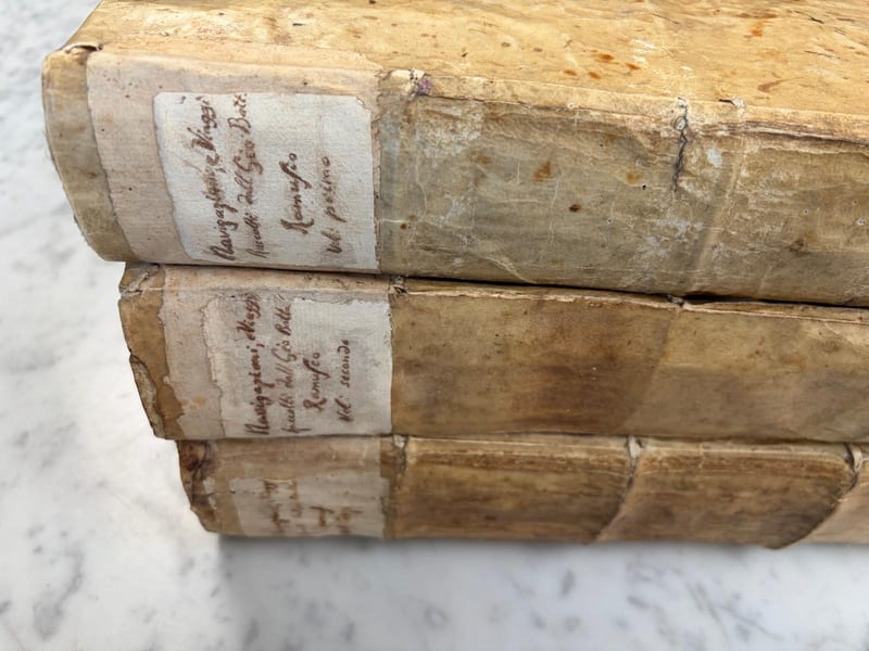
Delle navigationi et viaggi
Giovanni Battista Ramusio · Venice · 1563; 1583; 1565
Price on request
Voyages & Discovery · FM-0027
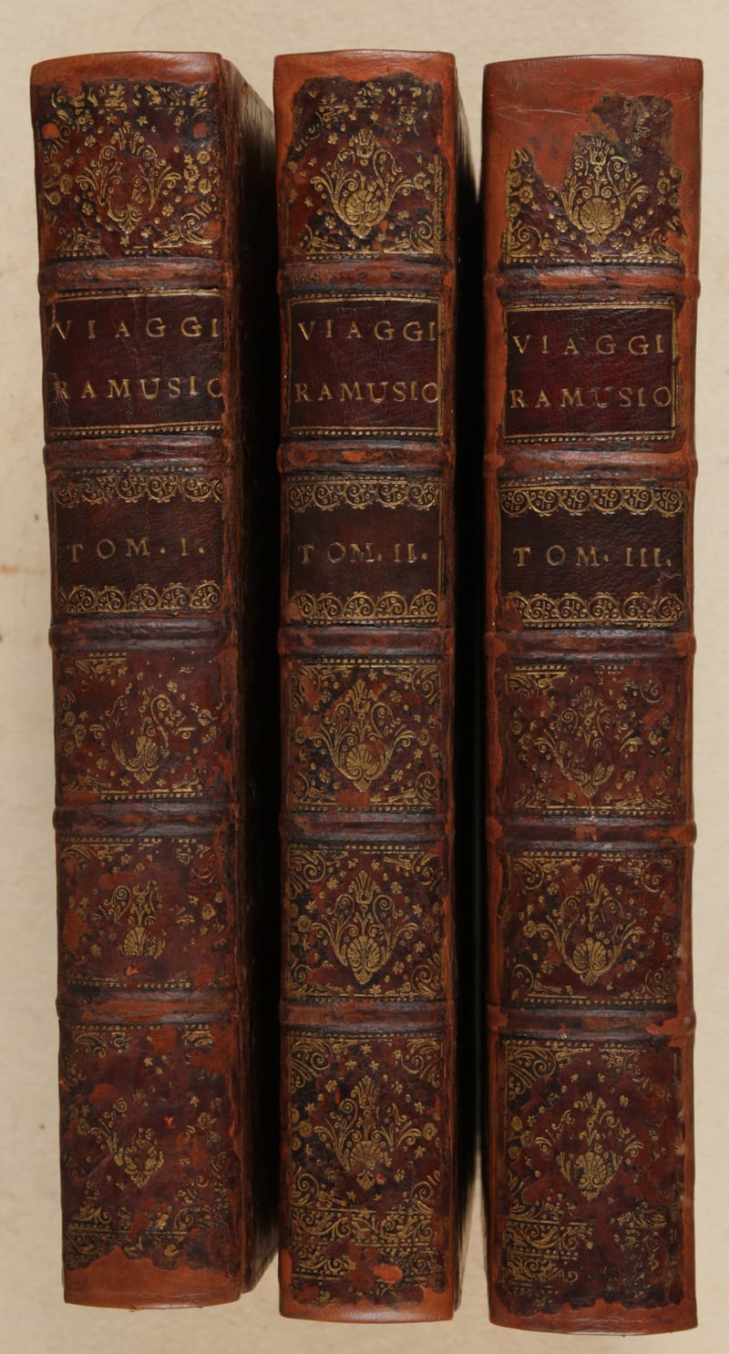
Delle navigationi et viaggi
Giovanni Battista Ramusio · Venice · 1613; 1583; 1606
Price on request
Voyages & Discovery · FM-0076
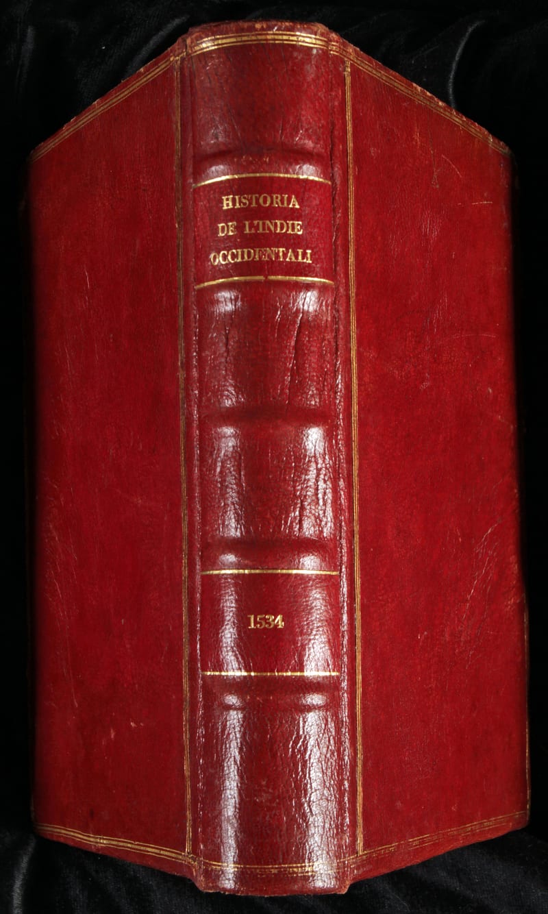
Libro primo della Historia de l'Indie Occidentali (with) Libro secondo delle Indie Occidentali (with) Libro ultimo del Summario delle Indie Occidentali
Peter Martyr d'Anghiera and Gonzalo Fernandez de Oviedo, with an anonymous letter on the conquest of Peru, the volume probably assembled by Giovanni Battista Ramusio · Venice · 1534
€ 22.000
All 4 works: Giovanni Battista Ramusio →