Voyages & Discovery
Delle navigationi et viaggi
Giovanni Battista Ramusio · Venice · Giunti (Giunta press) · 1613; 1583; 1606
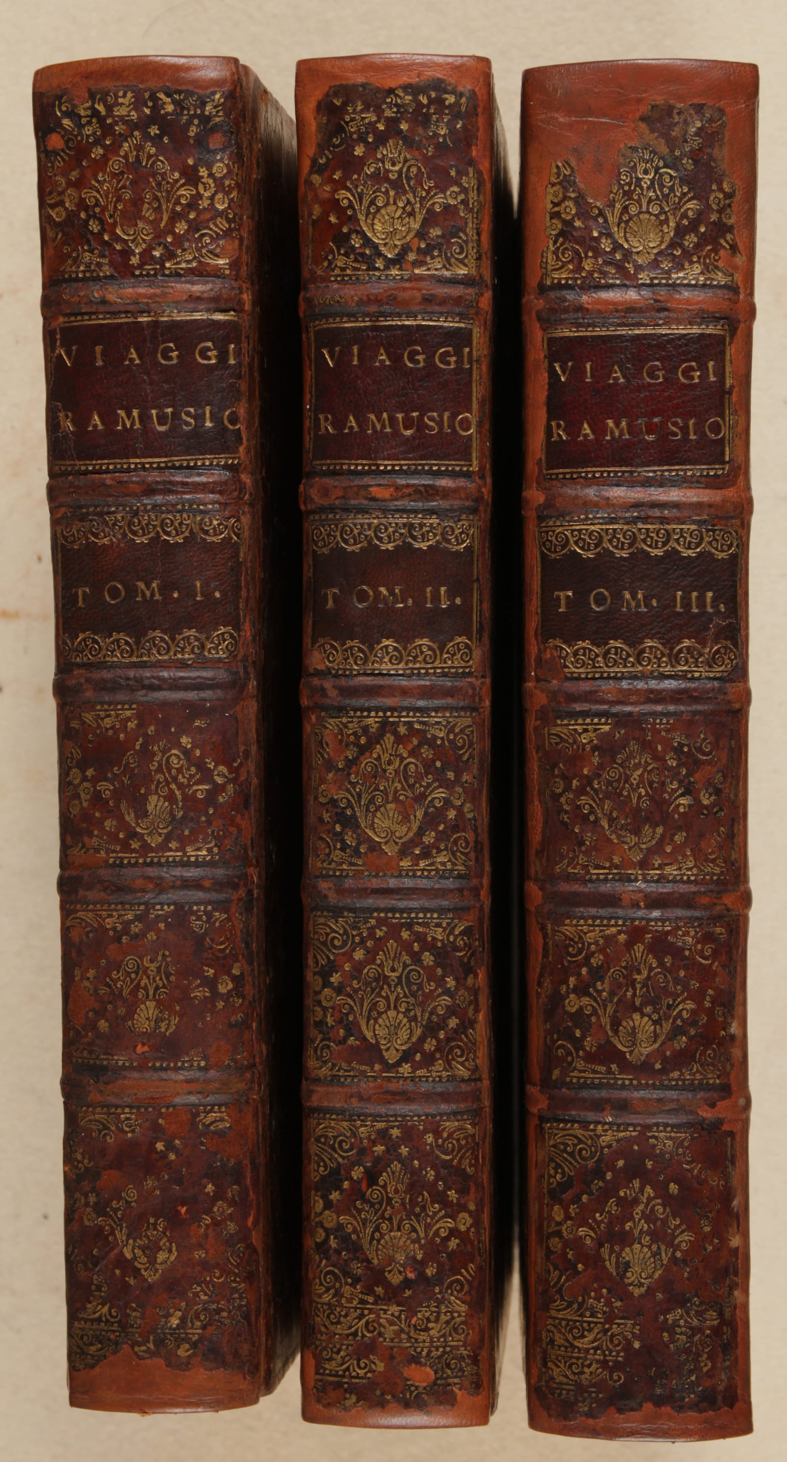
raccolte da Giovanni Battista Ramusio, the complete set in three folio volumes
FM-0027
Price on request
Key Properties
Edition: Mixed set, Vol. I 1613, Vol. II 1583, Vol. III 1606; the collection ran to six editions (Vol. III four) between 1550 and 1613
Language: Italian
Format: Folio, three volumes
Binding: Uniformly rebound in the eighteenth century in full calf; spine with raised bands and gilt title and decoration; edges gilt
Collation & Technical Description
In folio, 3 vols. 4 nn. lvs; 34 and 394 numbered leaves, with three copper-plate engraved maps; 18 numbered leaves; 10 nn. lvs; 256 and 90 numbered leaves; 6 nn. lvs; 36 and 430 numbered leaves, with 6 folding woodcut maps. In all three volumes together there are 53 woodcuts in the text.
The maps are typical tabulae modernae, maps showing the discoveries made after Ptolemy. As Ramusio explains in his dedication to Girolamo Fracastoro, he had Giacomo Gastaldi, an excellent cosmographer, reduce a universal map to small scale and prepare further maps of the new world in the manner of Ptolemy but incorporating all that was then known.
Gastaldi / Ramusio, Prima Tavola, no date (Karrow 30/73.1; Betz 4). First edition 1554 in woodcut; this a later copper-plate printing. Africa upside down (north at the bottom), with latitude and longitude scale. Among its firsts: the first printed map in a book to show Madagascar (San Lorenzo) and the first to show Lacus Niger; it places the southern tip of Africa correctly at 54° East.
Gastaldi / Ramusio, Seconda Tavola (Karrow 30/74.1). India and the Indian Ocean, upside down; first edition 1554 in woodcut, this a later copper-plate edition, with latitude and longitude scale.
Gastaldi / Ramusio, Terza Tavola (Karrow 30/75.1). South-East Asia and the Far East, upside down; first edition 1554 in woodcut, this a later copper-plate edition. An important map of South-East Asia (see Suarez, The Mapping of South-East Asia, 1999, ch. 11).
Plan of Mexico (Vol. III, fol. 308 verso), after the first printed map of that city of 1524.
Map of Nuova Francia (Burden 35; Kershaw 15a). The first map of New England, here in its third state, probably by Giacomo Gastaldi.
Map of Brasil (Vol. III, lvs 427/28). One of the earliest printed maps of Brazil (preceded only by Gastaldi, 1548), here in its third state.
Map of Taprobane (Vol. III); Isola Spagnola (Vol. III, fol. 44).
Plan of Hochelaga (Vol. III) (Kershaw 17A). The third printed image of Canada, and the first printed image of any Canadian city (Montreal), first printed 1556, here in its third state.
Parte del mondo ritrovata (Vol. III, lvs 455/56) (Burden 34). A woodcut map of the western hemisphere, third state, the first to show the places visited by Francisco Vázquez de Coronado, and the first depiction of the Sierra Nevada of California.
Condition
Rebound and cut in the nineteenth century; margins still wide. Spine restored more recently. Slight browning here and there, but a strong imprint on fairly white paper. The maps are in very good condition.
References & Bibliography
Adams R136; R139; R140; European Americana 613/108; 583/59; 606/88; Church 99 (for different editions); Sabin 67735, 67738 & 67742. For the maps: Karrow (1993); Betz; Burden; Kershaw; Suarez (1999).
Description
One of the earliest and certainly the broadest collection of the European voyages of discovery, first published between 1550 and 1559. The language is Italian. The first volume is dedicated to Africa and Asia, together with Transylvanus' and Pigafetta's reports on Magellan's circumnavigation; the second volume to Asia, including Poland and Russia; and the third exclusively to the Americas.
The voyages collected here are translations and/or reprints of earlier original publications. There are, however, first publications and noteworthy versions among them. Ramusio was more than a collector: he translated the original texts into Italian himself, and wrote short chapters commenting on the importance and trustworthiness of the accounts. Giacomo Gastaldi designed his maps.
Giovanni Battista Ramusio, a Venetian, served the government (as secretary of the Council of Ten) for most of his life. He travelled widely, became deeply versed in geography, and chose his friends well.
Primo volume (1613). Forty-five treatises on the European discovery of Africa and Asia, plus the circumnavigation by Magellan, with three maps (Africa; Asia; the Far East). It opens with Leo Africanus' description of Africa and the voyages of Cadamosto (1455 & 1456) and da Sintra; other notable African pieces are the Pedro and Francesco Álvarez treatises on the origin of the Nile and Prester John in Ethiopia. On Asia there is the journal of Vasco da Gama, the book of Varthema (Barthema Bolognese), Duarte Barbosa's book on Asia and de Barros' on the Portuguese conquest of Asia. Finally, both Transylvanus' and Pigafetta's accounts of Magellan's circumnavigation are present.
Secondo volume (1583). Begins with Marco Polo's three books with commentaries, then concentrates on Venetian voyages to Persia, Tartary and Cathay (China), with some shipwrecks, and includes Giovio's Moscovia. Two parts are added in these later editions: essays on Moscovia and Persia, including Odoric's voyage; and essays on the Zeno brothers' northern exploration and Sebastian Cabot's northern voyages, with two texts on Sarmatia (Poland) by Alessandro Guagnino and Maciej of Miechów (Michov).
Terzo volume (1606). Opens with two famous contemporary historians of the Spanish conquest of the Americas: Peter Martyr and Gonzalo de Oviedo. Martyr's text is the Italian translation of his Enchiridion (Basel, 1521); Oviedo's Historia natural de las Indias (1526) and Historia general de las Indias are both translated here. These are followed by the second, third and fourth cartas de relación of Hernán Cortés; the long ordeal of Cabeza de Vaca in the southern USA; the explorations of Vázquez de Coronado from the Colorado river northward; Xérez's report on Pizarro's conquest of Peru; and Oviedo's version of the exploration of the Marañón (Amazon).
Historical Significance
As a broad overview of the early voyages of discovery the Ramusio collection is preceded only by Montalboddo (1507) and Huttich/Grynaeus (1532). It ran through six editions (the third volume four) between 1550 and 1613. The original woodblocks were destroyed in the fire at the Giunta printing office in November 1557; the maps were thereafter re-engraved on new woodblocks, with only slight differences, or on copper plates. The set remains one of the foundational anthologies of the age of discovery.
Provenance
Available on request.
Related works
Voyages & Discovery · FM-0028
Delle navigationi et viaggi
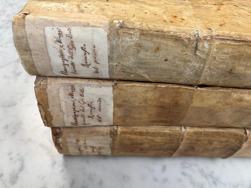
Giovanni Battista Ramusio · Venice · 1563; 1583; 1565
Price on request
Voyages & Discovery · FM-0024
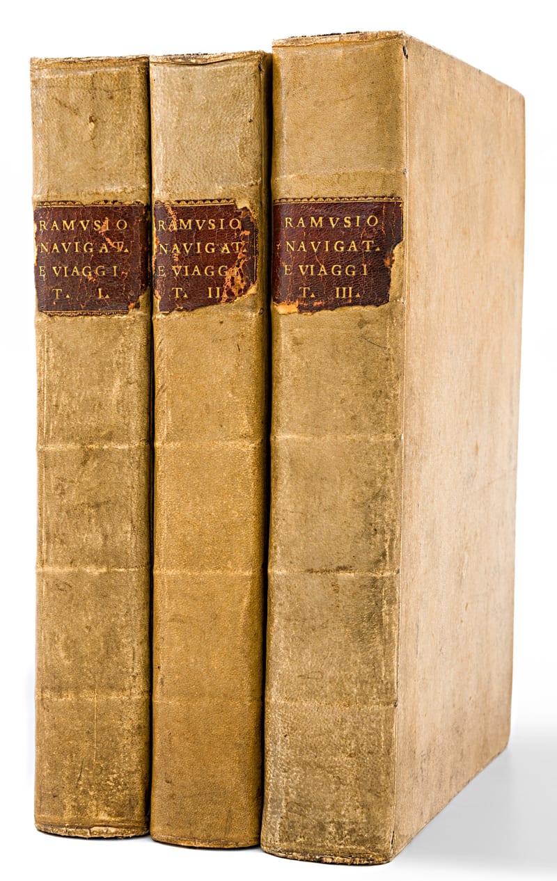
DELLE NAVIGATIONI (1613, 1583, 1606)
Giovanni Battista Ramusio (1485-1557) · Vol. 1: 1613; Vol. 2: 1583; Vol. 3: 1606
Price on request
Voyages & Discovery · FM-0076
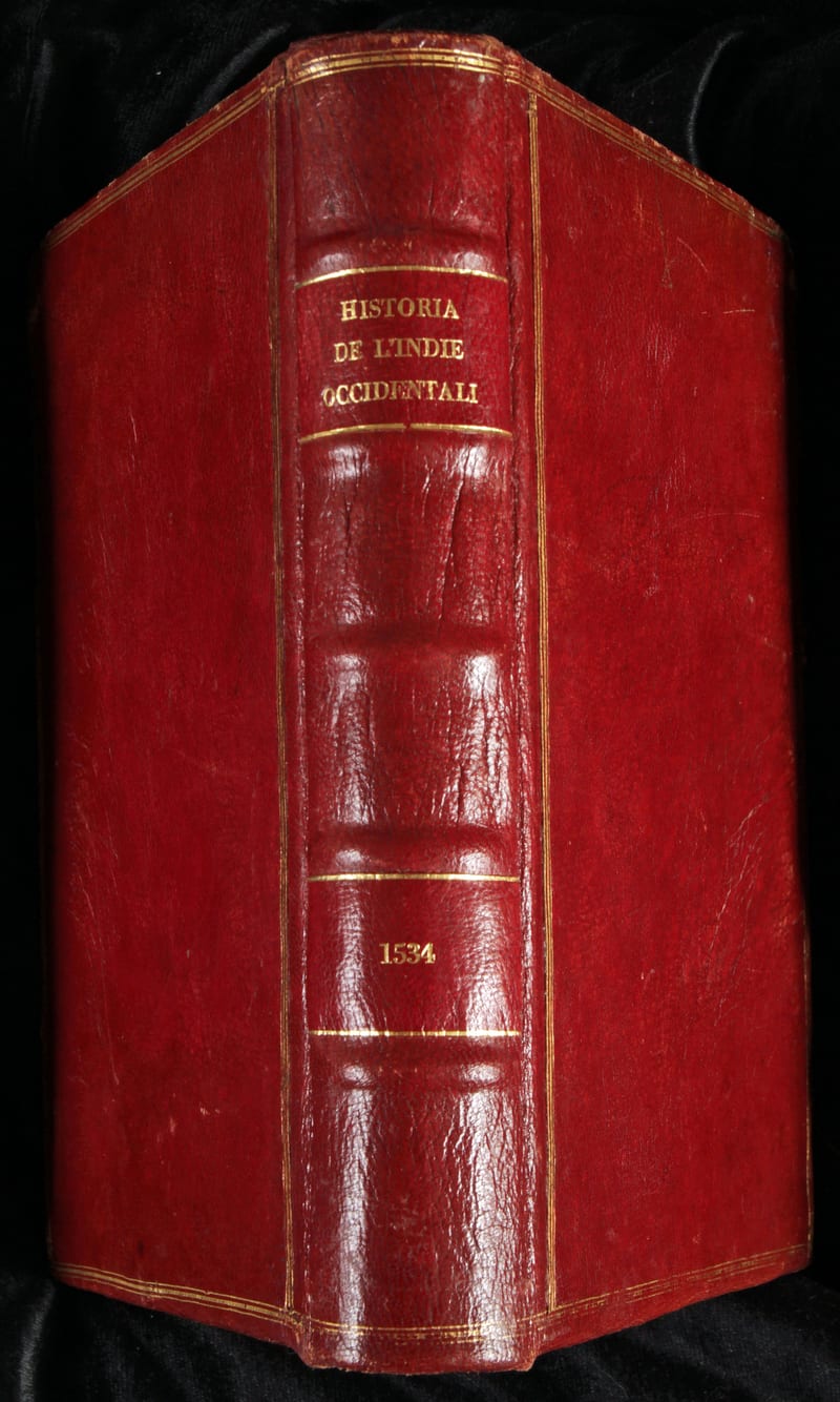
Libro primo della Historia de l'Indie Occidentali (with) Libro secondo delle Indie Occidentali (with) Libro ultimo del Summario delle Indie Occidentali
Peter Martyr d'Anghiera and Gonzalo Fernandez de Oviedo, with an anonymous letter on the conquest of Peru, the volume probably assembled by Giovanni Battista Ramusio · Venice · 1534
€ 22.000
All 4 works: Giovanni Battista Ramusio →