Antique Maps
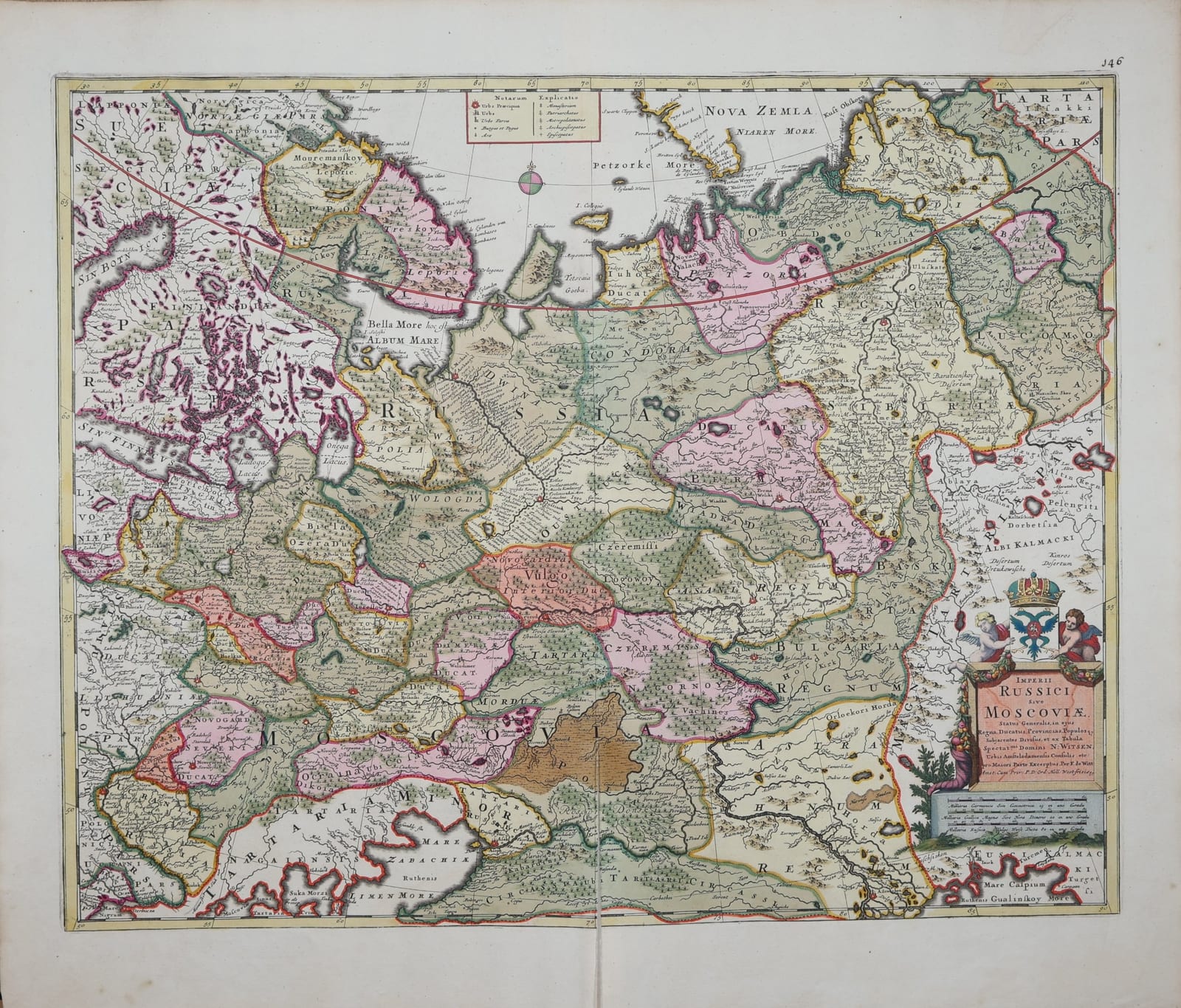
Imperii Russici sive Moscoviae status generalis, in ejus regna, ducatus, provincias, populosque subjacentes divisus, et ex tabula Spectat.mi Domini N. Witsen ... excerptus
WIT, Frederik de, after Nicolaes Witsen · Amsterdam · Frederik de Wit · c. 1690 to 1705
Frederik de Wit's map of the Russian Empire, taken for the greater part from Nicolaes Witsen's great map of Tartary, from Lapland and Novaya Zemlya to the Caspian and western Siberia; in original hand-colour.
FM-0285
€ 1.650
All prices include VAT. Import duties outside the EU are not included.
Free insured shipping. The price shown is the price you pay.
Key Properties
Cartographer: Frederik de Wit, after the map of Nicolaes Witsen (1687)
Technique: Copper engraving, original hand-colour
Size: sheet c. 54 x 62 cm (21 1/4 x 24 1/2 in., seller's measurement)
Page number: 146 in the upper right margin
Verso: blank
Region: European Russia and western Siberia, from Lapland and Novaya Zemlya to the Caspian Sea and the Crimea
Condition
Original hand-colour, full and bright, the colour offset to the blank verso as usual. A split along the lower part of the centrefold, reaching into the map; the centrefold strengthened on the verso. Wide margins.
References & Bibliography
Koeman, Atlantes Neerlandici (Frederik de Wit).
Bagrow, A History of Russian Cartography up to 1800 (1975).
Witsen, Noord en Oost Tartarye (Amsterdam 1692; second edition 1705), the book that accompanied Witsen's map.
Description
In 1687 the Amsterdam burgomaster Nicolaes Witsen (1641 to 1717) published his great map of Tartary, the first map to show northern and eastern Asia from Russian sources. As a young man Witsen had travelled to Moscow with a Dutch embassy in 1664 and 1665, and for more than twenty years afterwards he gathered reports, itineraries and sketch maps from Russian officials, merchants, missionaries and exiles. His map, printed on six sheets, was so rare and so prized that copies were given only to a few rulers and friends; Peter the Great, who met Witsen in Amsterdam in 1697, owned one.
Frederik de Wit, the leading Amsterdam map publisher of his day, made Witsen's knowledge available to a wider public. The cartouche states proudly that this map was 'for the greater part excerpted from the map of the most honourable Mr N. Witsen, burgomaster of Amsterdam'. It shows the Russian Empire divided into its kingdoms, duchies and provinces, from Lapland, Karelia and the White Sea in the north to Kazan, Astrakhan, the Don Cossacks and the Crimean Tatars in the south, and eastwards across the Urals into Siberia, with the lands of the Samoyeds, the Kalmyks and the Bashkirs. A table of symbols in the upper margin distinguishes capital cities, towns, monasteries, metropolitan sees and bishoprics. The title cartouche in the lower right is crowned by the Russian double-headed eagle, held by two putti.
Historical Significance
One of the key maps in the European discovery of Russia: through De Wit's derivative the information Witsen had collected from Russian sources, otherwise accessible only on his rare large map, reached the atlases of Europe at the moment Peter the Great opened Russia to the West.
Related works
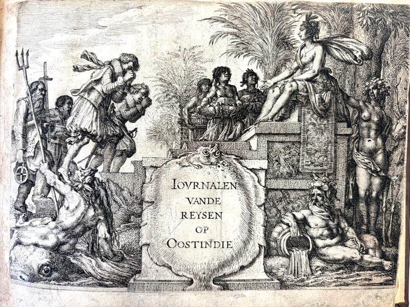
Voyages & Discovery · FM-0069
Oost-Indische en West Indische voyagien: drie seylagien by Noorden om na de coninckrijcken van Cathay ende China (Eerste voyage)
Gerrit de Veer (Willem Barentszoon) · Amsterdam · 1619
€ 10.000
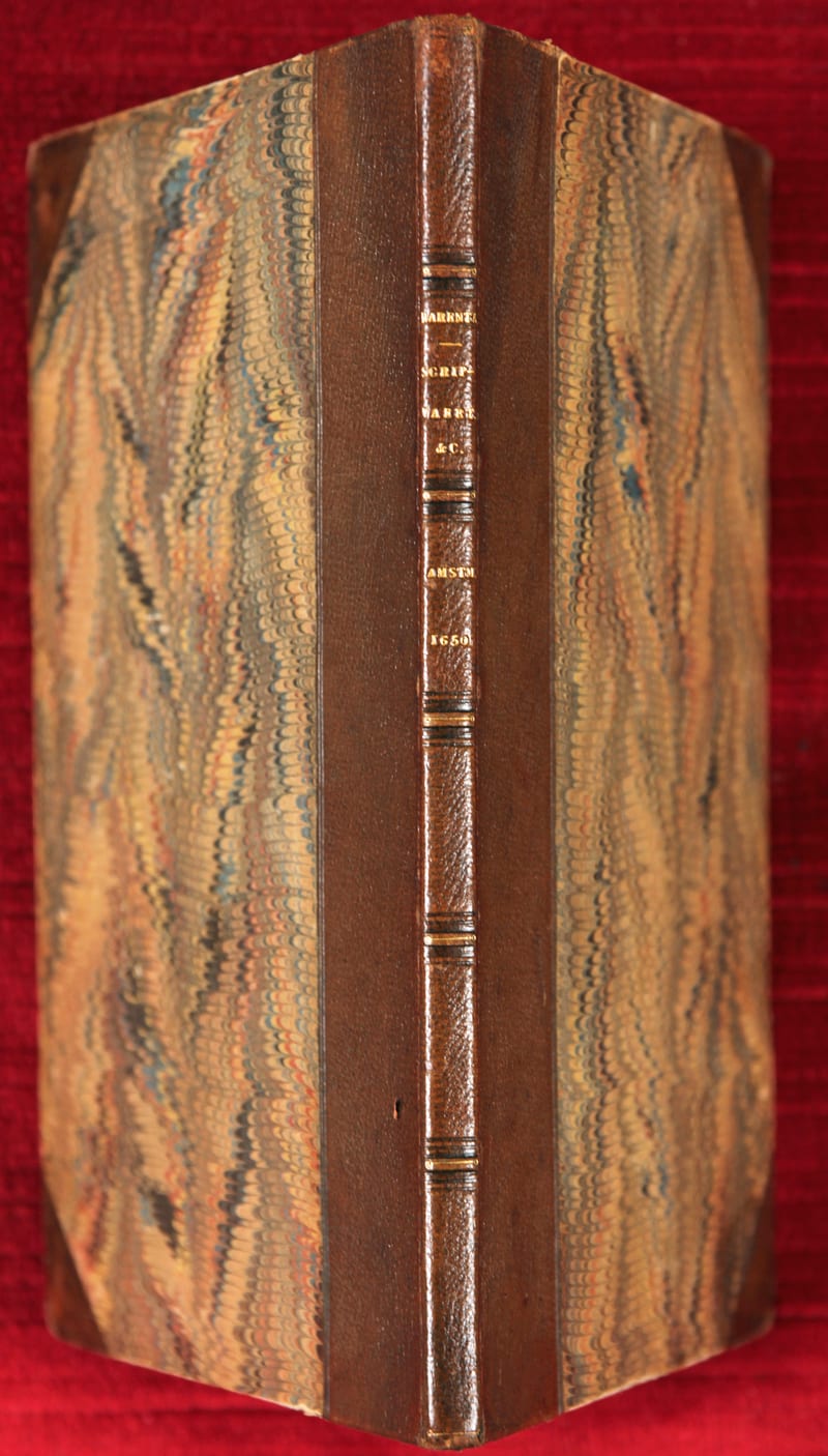
Voyages & Discovery · FM-0074
Verhael van de eerste Schipvaert by 't Noorden om
Gerrit de Veer · Amsterdam · 1650
€ 6.000
All 3 works: Willem Barentsz and the Northeast Passage →