Antique Maps
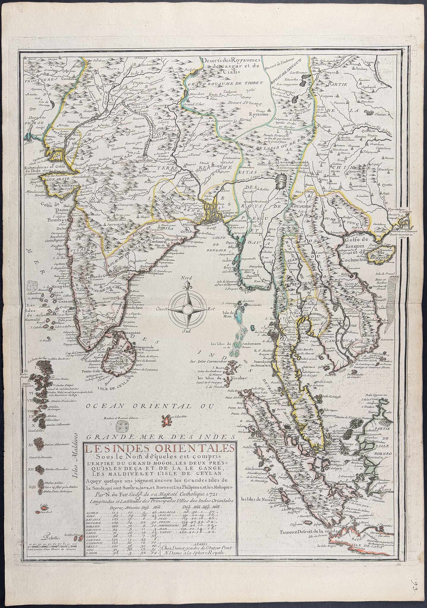
LES INDES ORIENTALES
Nicolas de Fer · Paris · Guillaume Danet (later issue) · Originally 1709; probably the Danet issue, c. 1728
Nicolas de Fer, India, Ceylon, the Maldives and South-East Asia
FM-0003
€ 1.450
Key Properties
Edition: Later Danet edition
Language: French
Collation & Technical Description
Copper engraving with outline colour. Approx. 28⅛ × 20 in. Covers India, Sri Lanka, the Maldives, mainland and insular South-East Asia.
Condition
The example appears good to very good: generous margins, a clear impression and only light age marks. The outline colour appears old, but cannot be guaranteed original without inspection.
References & Bibliography
Nicolas de Fer, Les Indes Orientales, first published Paris, 1709.
The present impression is from the later edition of Guillaume Danet, c. 1728.
Description
This large map covers India, Sri Lanka, the Maldives, Myanmar, Thailand, Cambodia, Vietnam, the Malay Peninsula, Sumatra and parts of the surrounding archipelago. The sheet connects well to collecting fields such as the VOC trade, Asian travel accounts and early European cartography of South-East Asia.
The plate was originally published in 1709. The impression offered here appears to come from the later edition of Guillaume Danet, probably around 1728. An earlier state may be slightly more desirable, but the later impression is scarce enough to remain of interest.
Its large format, early date and broad geographical reach make this one of the stronger maps in the group.
Notable features: India, Ceylon, the Maldives and South-East Asia on one large sheet; Appealing to collectors of Asia, the VOC and Singapore; Restrained but historically appropriate outline colour.
Historical Significance
A large early-eighteenth-century French map of the East Indies, relevant to the VOC trade and to European mapping of South and South-East Asia.
Provenance
Not established.