Antique Maps
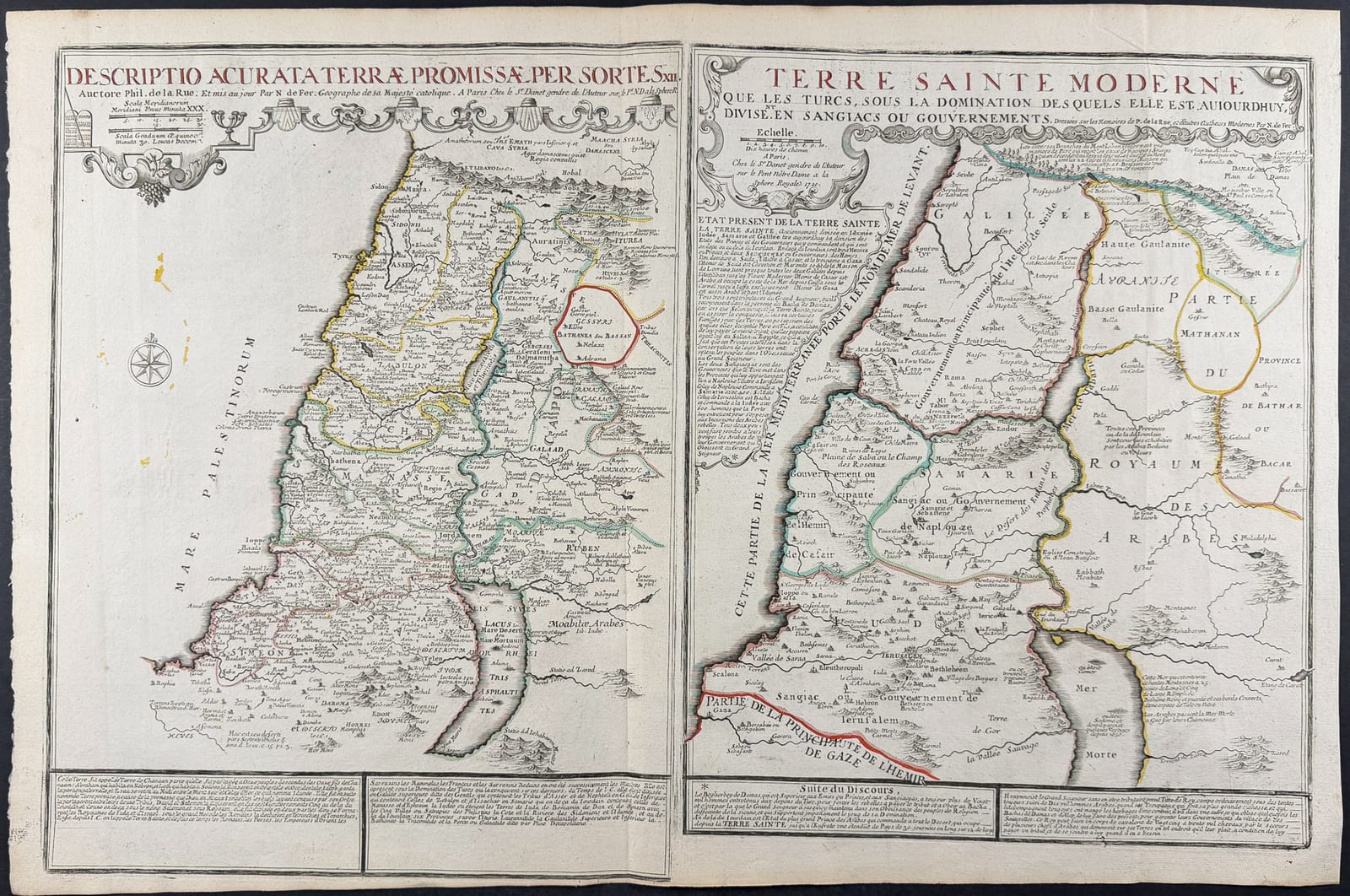
DESCRIPTIO ACCURATA TERRAE PROMISSAE / LA TERRE SAINTE MODERNE
Nicolas de Fer, after Philippe de la Rue · Paris · G. Danet · 1720
Nicolas de Fer, after Philippe de la Rue, double map of the Holy Land
FM-0004
€ 950
Key Properties
Language: Latin and French (double title)
Format: Engraved map, one sheet
Collation & Technical Description
Copper engraving with outline colour. Approx. 30⅛ × 20 in. Double map: the biblical Promised Land divided among the Twelve Tribes of Israel (left) and the Ottoman Holy Land divided into administrative districts (right).
Condition
The photograph shows a good impression, wide margins and a normal centre fold. There is light discolouration and some cockling, but no evident major damage.
References & Bibliography
Nicolas de Fer, after the memoirs of Philippe de la Rue, Descriptio accurata Terrae Promissae per Sortes XII / La Terre Sainte moderne, published by G. Danet, Paris, 1720.
Philippe de la Rue is known by some fifteen maps, all of the Near East.
Description
This large double sheet presents two views of the same region. On the left is the biblical Promised Land divided among the Twelve Tribes of Israel. On the right is the early-eighteenth-century Holy Land under Ottoman rule, divided into administrative districts.
The contrast between ancient and contemporary geography is the principal strength of the sheet. It therefore appeals both to collectors of historical cartography and to buyers interested in biblical history and the Ottoman Empire.
Its large format and two-part composition make it an attractive wall object.
Notable features: Two maps on one sheet: biblical and early eighteenth century; Large format with clear accompanying texts; Broad audience within religious and historical cartography.
Historical Significance
Juxtaposes biblical and contemporary geography of the Holy Land, a popular early-eighteenth-century device appealing to both religious and historical interest.
Provenance
Not established.
