Collection › Cartographers, authors and themes
Nicolas de Fer
Nicolas de Fer (Paris 1646 to 1720), son of a map seller, engraver and publisher on the Quai de l'Horloge, was the most prolific French mapmaker of the reign of Louis XIV. Géographe du Dauphin from 1690 and later of the king of Spain, he issued some six hundred maps and plans, from wall maps of the continents to the small decorative sheets of his Atlas curieux. His maps are valued less for their science than for their engraving and their cartouches, which record the imagery of the age: the beaver map of Canada, the missions of the Jesuits, the ports of the Levant.
After his death the business passed to his sons-in-law, Guillaume Danet and Jacques-François Bénard, who reissued the plates with their own imprints into the 1740s.
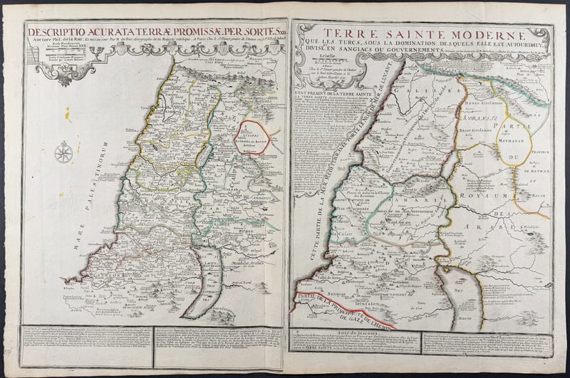
Our collection contains De Fer's map of the East Indies and his double-titled map of the Holy Land in the Danet issues.