Antique Maps
CARTE DE L’AMÉRIQUE MÉRIDIONALE
Jacques-Nicolas Bellin · Paris · For A.-F. Prévost, Histoire générale des voyages · probably 1754
Jacques-Nicolas Bellin, map of South America
FM-0009
€ 350
Key Properties
Edition: From Prévost, Histoire générale des voyages
Language: French
Collation & Technical Description
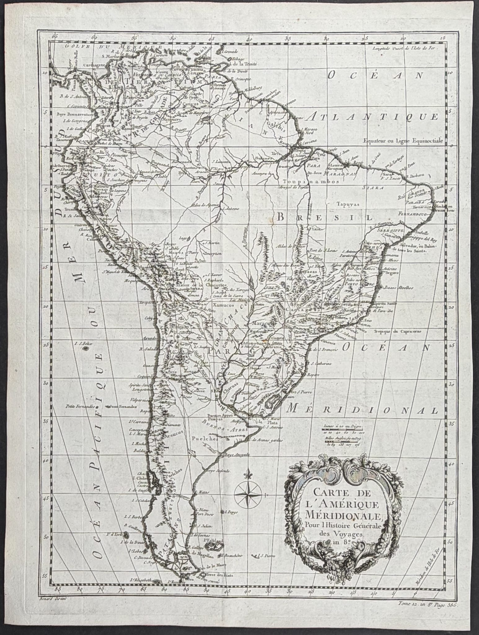
Copper engraving. Approx. 14¼ × 19 in. Shows almost the whole of South America, from the Caribbean coast to Cape Horn, with the great river systems and a rococo cartouche.
Condition
The map appears good to very good, with wide margins, a normal centre fold and limited age marks. No large tears are visible.
References & Bibliography
J.-N. Bellin, from A.-F. Prévost, Histoire générale des voyages, Paris, c. 1754.
Description
This map shows almost the whole of South America, from the Caribbean coast to Cape Horn. Brazil, Peru, Chile, Paraguay, Patagonia, Tierra del Fuego and the great river systems are clearly represented.
The auction description again names Prévost as maker. It is more correct to name Bellin as cartographer and Prévost as compiler of the travel work. The sheet is usually dated to around 1754.
The rococo cartouche at lower right and the continental composition make the map decoratively attractive, though it remains a relatively common eighteenth-century atlas sheet.
Notable features: Complete map of the continent with a strong cartouche; Clean and legible impression; Attractive decorative map.
Historical Significance
A complete continental map of South America from Prévost's widely distributed travel compendium.
Provenance
Not established.