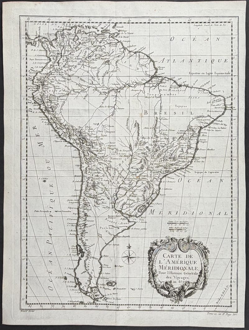
Collection › Cartographers, authors and themes
Jacques-Nicolas Bellin
Jacques-Nicolas Bellin (Paris 1703 to Versailles 1772) was the first hydrographer of the Dépôt des cartes et plans de la Marine, the chart office of the French navy, for more than fifty years. From its archive of ships' logs and surveys he drew the sea charts of the Hydrographie française and the Neptune françois, and the hundreds of smaller maps that illustrate the Histoire générale des voyages of the abbé Prévost (1746 to 1759) and his own Petit Atlas maritime of 1764.
Bellin's maps of North America, the Saint Lawrence, New England and the Caribbean are the standard French view of the continent on the eve of the Seven Years' War, precise in the coastlines and candid about what was unknown inland.
The Bellin maps in our collection come from the Histoire générale des voyages.
In our collection 3
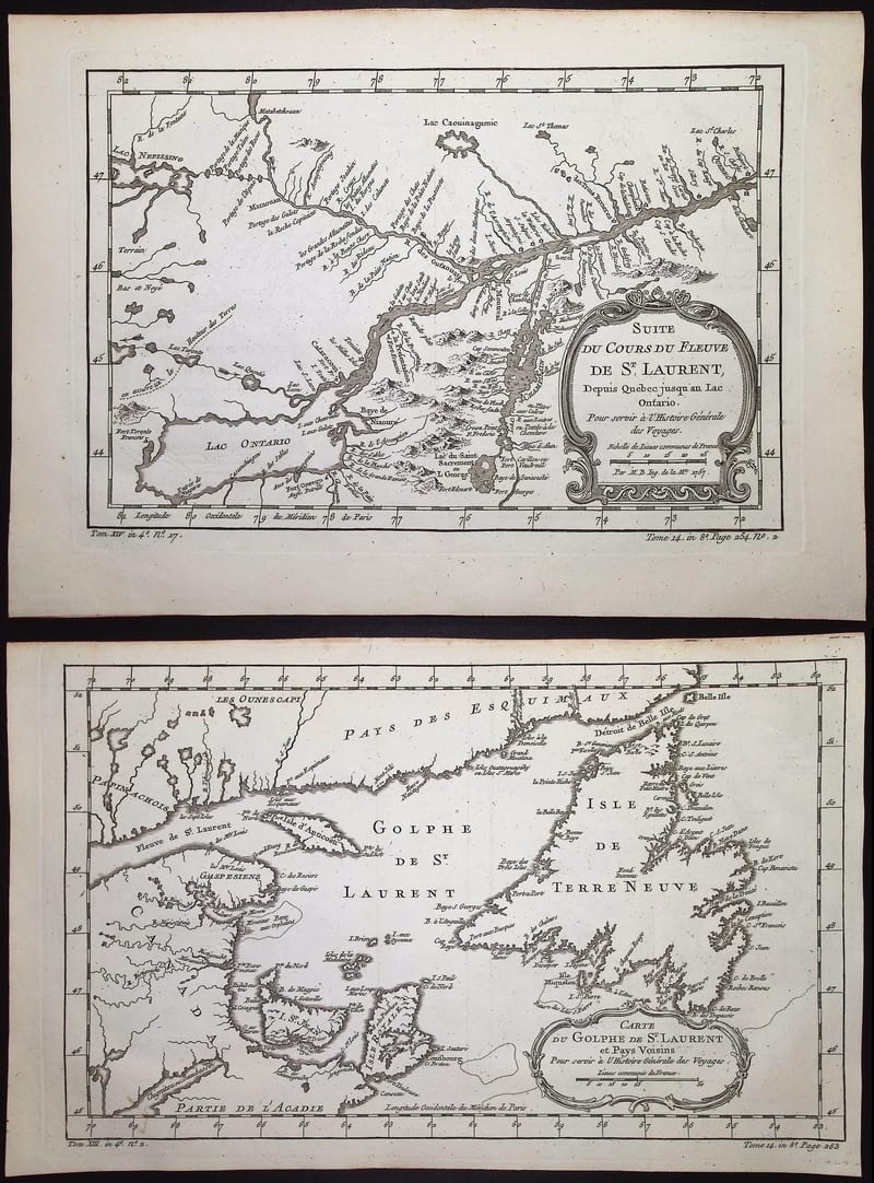
THREE MAPS OF THE SAINT LAWRENCE RIVER
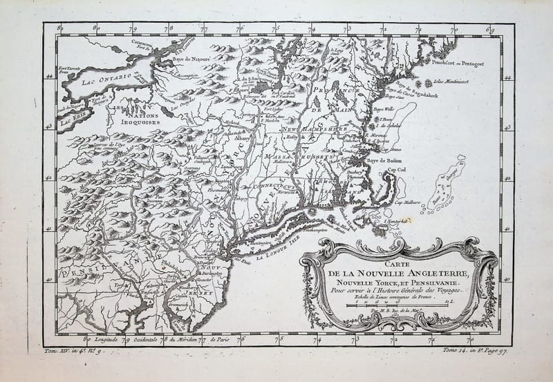
CARTE DE LA NOUVELLE ANGLETERRE, NOUVELLE YORCK ET PENSILVANIE