Antique Maps
THREE MAPS OF THE SAINT LAWRENCE RIVER
Jacques-Nicolas Bellin · Paris · For A.-F. Prévost, Histoire générale des voyages · probably c. 1757
Jacques-Nicolas Bellin, a three-part series
FM-0010
€ 575
Key Properties
Edition: From Prévost, Histoire générale des voyages
Language: French
Collation & Technical Description
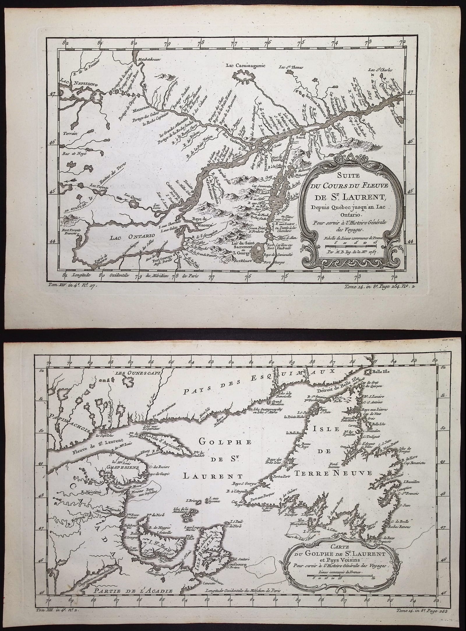
Three copper engravings, approx. 13⅝–15½ × 9¾ in. per sheet: the Gulf of Saint Lawrence; the river from its mouth to beyond Quebec; and the continuation towards Montreal and Lake Ontario.
Condition
The visible sheets appear good, with generous margins, clear impressions and limited age marks. No major damage is visible.
References & Bibliography
Three maps by J.-N. Bellin, from A.-F. Prévost, Histoire générale des voyages, Paris, c. 1757.
Description
This lot comprises three connected maps: the Gulf of Saint Lawrence, the river course from the mouth to beyond Quebec, and the continuation from Quebec towards Montreal and Lake Ontario.
Together the maps form a cartographic route through the heart of French North America. This gives the set more intrinsic appeal than three unrelated single sheets.
The maps are historically interesting for the context of the Seven Years' War and the strategic importance of the river route.
Notable features: Connected route from the Atlantic to Lake Ontario; Colonial Canada and a military context; Attractive as a complete set.
Historical Significance
Together the three sheets form a continuous cartographic route through the heart of French North America during the Seven Years' War.
Provenance
Not established.