Antique Maps
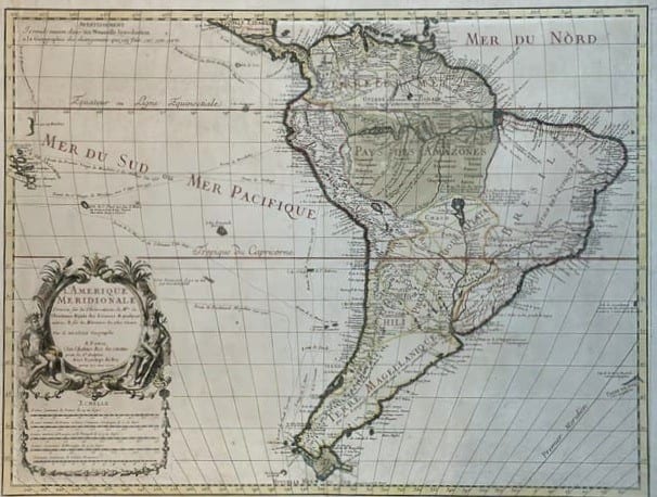
L'Amerique Meridionale, dressée sur les observations de Mrs. de l'Academie Royale des Sciences
DE L'ISLE, Guillaume · Paris · Chez l'Auteur, Rue des Canettes près de St Sulpice · 1700
The first edition, first state, of De l'Isle's map of South America, Paris 1700, the map that corrected the shape and breadth of the continent on the basis of the astronomical observations of the Académie des Sciences and set the standard for the eighteenth century; with the Rue des Canettes address and old outline colour
FM-0107
€ 3.000
Key Properties
Edition: First edition, first state, with the imprint A Paris, chez l'Auteur, Rue des Canettes près de St Sulpice, avec privilège du Roy pour 20 ans, 1700 (later states carry the Quai de l'Horloge address)
Cartographer: Guillaume De l'Isle (1675 to 1726), Premier Géographe du Roi from 1718
Language: French
Format: Copperplate engraving on laid paper, two joined sheets with the customary central fold
Sheet: 50.5 x 66 cm (h x w)
Colouring: Old outline colour, the boundaries in wash
Collation & Technical Description
A single large sheet, the map engraved within a graduated border. Title in a large rococo cartouche at lower left, flanked by two seated native figures with feather head-dresses and bows: L'AMERIQUE MERIDIONALE, Dressée sur les Observations de Mrs. de l'Academie Royale des Sciences et quelques autres, et sur les Memoires les plus recens, Par G. de l'Isle Geographe. A Paris, Chez l'Auteur, Rue des Canettes près de St Sulpice, avec Privilege du Roy pour 20 ans, 1700. Below the cartouche a panel of five scales (French common leagues, French and Spanish marine leagues, Spanish and Portuguese leagues, German leagues, and Castilian leagues). An Avertissement in the upper margin explains that the map has been drawn on the new principles set out in the author's Introduction à la Géographie. The map covers the whole continent from the Caribbean coast and the Isthmus of Panama to Tierra del Fuego and the Strait of Magellan (Terre Magellanique), with the Pays des Amazones, Brésil, Pérou, Chili, Paraguay and the Terre Ferme, the Mer du Sud ou Mer Pacifique, the Mer du Nord, the equator and tropic of Capricorn, the Premier Meridien through Ferro, and the Galápagos and Juan Fernández islands in the Pacific.
Condition
Very good condition. A fine, dark impression with the old outline colour fresh, on a full sheet with good margins; the central fold as issued, a little light toning and minor marginal marks. Detailed condition report available on request.
References & Bibliography
Tooley, The Mapping of America (De l'Isle, L'Amerique Meridionale, 1700). Pastoureau, Les Atlas Français XVIe to XVIIe siècles, on De l'Isle. Kapp, The Printed Maps of Brazil. De l'Isle's own account of his method in the Introduction à la Géographie (Paris 1700), to which the Avertissement on the map refers.
Description
Guillaume De l'Isle's map of South America, published in Paris in 1700 in the year the young geographer, then twenty-five, brought out the set of maps that made his reputation: the world in two hemispheres, the four continents and the globes. Trained by his father Claude De l'Isle and by the astronomer Cassini, De l'Isle rejected the practice of copying earlier maps and redrew the continents from the astronomical determinations of longitude and latitude made by the Académie Royale des Sciences and from the latest travellers' accounts. The result for South America was a map that corrected, for the first time, the exaggerated breadth of the continent that had been inherited from the sixteenth-century Spanish charts, reduced the size of the Amazon basin to its proper proportions and gave the Pacific coast its true position, so that the Pacific coast lies far closer to its true longitude than on any earlier printed map.
The interior follows the Jesuit and Portuguese reports of the late seventeenth century: the course of the Amazon and its tributaries after the Jesuit missionaries, the Paraguay missions, the Chaco and the Pampas, while Brazil, Peru and Chile carry their colonial provinces and towns. The Terre Magellanique in the south is shown without the fictitious southern continent, and the Strait of Magellan and the Strait of Le Maire are correctly drawn. The Avertissement in the upper margin refers the reader to De l'Isle's Introduction à la Géographie, also published in 1700, in which he set out the new principles on which the map was drawn.
The present example is the first edition in its first state, with the imprint of the Rue des Canettes near Saint-Sulpice, De l'Isle's address until about 1707; from 1708 the plate was reissued with the Quai de l'Horloge address and later revised. It has old outline colour and a strong, clear impression.
Historical Significance
De l'Isle's maps of 1700 mark the beginning of scientific cartography in France and the end of the decorative Dutch tradition as the standard of the map trade. His South America was the first map of the continent drawn from astronomical observation rather than from earlier maps, and it remained the model for the mapping of the continent until the surveys of the second half of the eighteenth century. De l'Isle was appointed Premier Géographe du Roi in 1718, the first holder of the title.
Provenance
Available on request.
Related works
Cartography · FM-0079
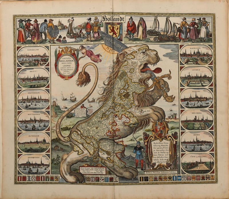
Composite atlas, without title
Reinier and Josua Ottens, with maps by Visscher, De Wit, Delisle, Jaillot, Covens & Mortier, Schenk, Valk and others · Amsterdam · No date, but 1730 or shortly after
Price on request
Antique Maps · FM-0002
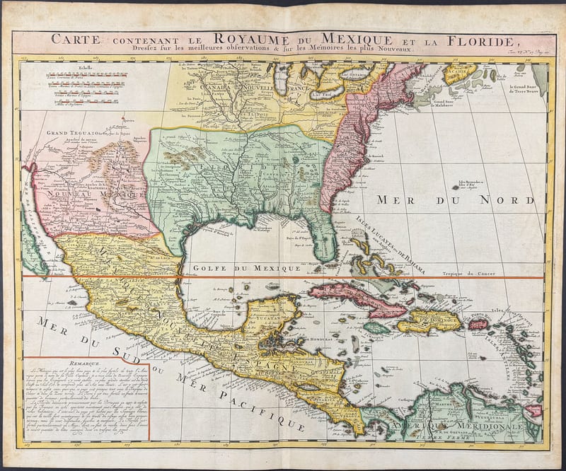
CARTE DU ROYAUME DU MEXIQUE ET DE LA FLORIDE
Henri Abraham Chatelain, after Guillaume Delisle · Amsterdam · c. 1719
€ 1.600
Antique Maps · FM-0049
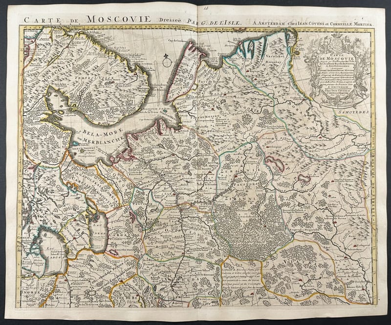
Carte de Moscovie, Russia and the Ukraine (a pair of maps)
Guillaume De L'Isle · Paris · c. 1706
€ 800
All 4 works: Guillaume Delisle →