Antique Maps
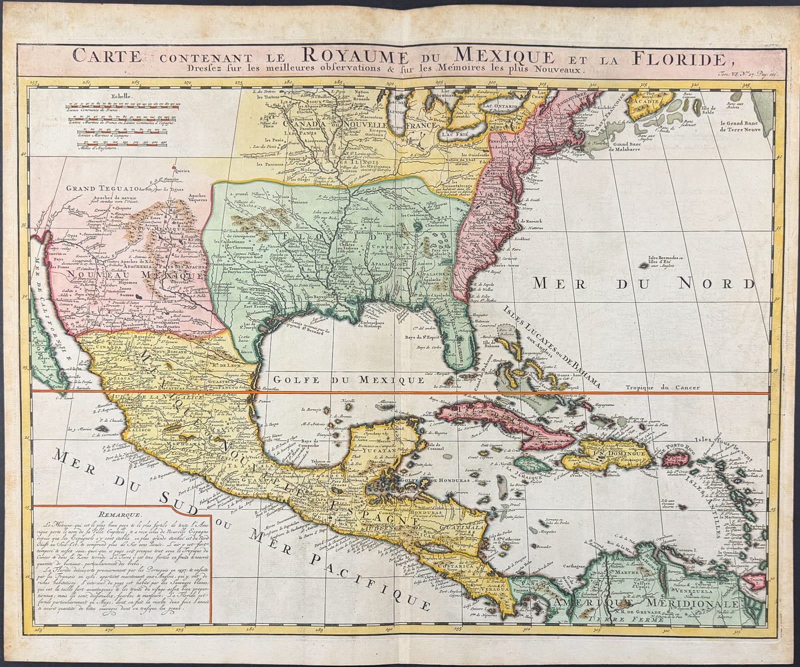
CARTE DU ROYAUME DU MEXIQUE ET DE LA FLORIDE
Henri Abraham Chatelain, after Guillaume Delisle · Amsterdam · Chatelain (l'Honoré & Châtelain) · c. 1719
Henri Abraham Chatelain, Mexico, Florida and the Caribbean
FM-0002
€ 1.600
Key Properties
Edition: From Atlas Historique, vol. VI
Language: French
Collation & Technical Description
Copper engraving with hand-colouring. Approx. 21½ × 17¾ in. Depicts Mexico, Florida, the American east coast, the Caribbean, the Gulf of Mexico and the Great Lakes region, after Guillaume Delisle.
Condition
The photograph shows a normal centre fold, light discolouration and some foxing along the edges. The sheet otherwise appears complete, with generous margins and no major damage.
References & Bibliography
From H. A. Chatelain, Atlas Historique, Amsterdam, c. 1719 (vol. VI).
After Guillaume Delisle's influential mapping of Mexico, Florida and the Gulf.
Description
This sheet from Chatelain's Atlas Historique shows Mexico, Florida, the American east coast, the Caribbean, the Gulf of Mexico and the region around the Great Lakes. The map derives from the influential cartography of Guillaume Delisle.
Of particular historical interest is the depiction of the region between Florida and present-day Texas as an extensive French sphere of influence. The sheet also carries a great deal of information on English settlements along the east coast, the Gulf Coast, and Spanish missions in New Mexico.
The American subject gives this map broad appeal. The note of ‘professional hand-colouring’ most probably indicates later colour: attractive for display, but generally less prized than demonstrably contemporary colour.
Notable features: Strong American subject: Texas, Florida, Mexico and the Caribbean; Based on Delisle's important cartographic model; Good decorative appeal through its format and colour.
Historical Significance
Reflects Delisle's authoritative early-eighteenth-century mapping of the Gulf region and the competing French, English and Spanish claims in North America.
Provenance
Not established.
Related works
Cartography · FM-0079
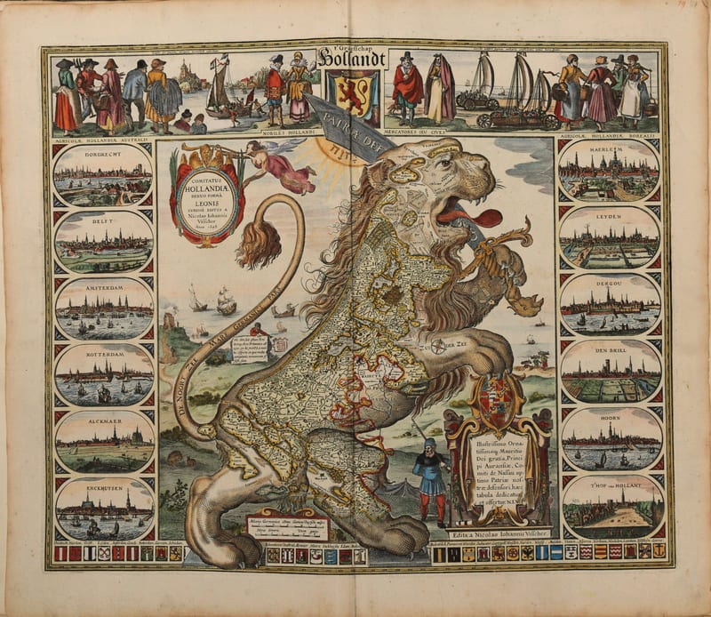
Composite atlas, without title
Reinier and Josua Ottens, with maps by Visscher, De Wit, Delisle, Jaillot, Covens & Mortier, Schenk, Valk and others · Amsterdam · No date, but 1730 or shortly after
Price on request
Antique Maps · FM-0107
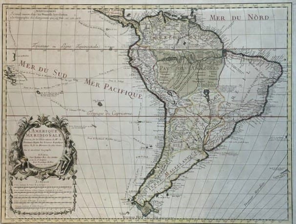
L'Amerique Meridionale, dressée sur les observations de Mrs. de l'Academie Royale des Sciences
DE L'ISLE, Guillaume · Paris · 1700
€ 3.000
Antique Maps · FM-0049
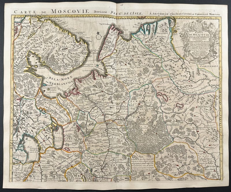
Carte de Moscovie, Russia and the Ukraine (a pair of maps)
Guillaume De L'Isle · Paris · c. 1706
€ 800
All 4 works: Guillaume Delisle →