Cartography
Composite atlas, without title
Reinier and Josua Ottens, with maps by Visscher, De Wit, Delisle, Jaillot, Covens & Mortier, Schenk, Valk and others · Amsterdam · Amstelaedami apud Reinervm et Iosvam Ottens · No date, but 1730 or shortly after
A complete Ottens Sammelatlas made to order for a private client, 119 double-page maps in full contemporary body colour, with the Leo Hollandicus of 1648 and the exceedingly rare Gooiland map
FM-0079
Price on request
Key Properties
Edition: A composite atlas, assembled to order by the Ottens firm; no two copies are alike
Language: Latin title-page, the maps in Latin, Dutch and French
Format: Large folio, 53.5 x 33 cm, the volume 8 cm thick
Binding: Contemporary spine laid down on a modern binding made to style
Illustration: Engraved title-page, 119 double-page engraved maps of which 14 extra large and double folded, and 9 double-page engraved plates
Colouring: Full contemporary body colour throughout, all but the final plate, almost entirely by one hand
Collation & Technical Description
Large folio, 53.5 x 33 cm, the volume 8 cm thick. Engraved title-page; 119 double-page engraved maps, of which 14 are extra large and double folded; and 9 double-page engravings, among them summaries of history and of contemporary military engineering. All the maps and plates except the last are in full body colour in a fine contemporary hand.
After the world maps and the globes the atlas runs: Europe, with France (17), Germany (26), Italy (8), the Low Countries (24), Scandinavia (4) and Spain and Portugal (8); Africa (3); Asia (5); and North and South America (4).
Besides the Ottens brothers the mapmakers represented are Allard, Covens & Mortier, Guillaume Delisle, Halma, Pierre Husson, Jaillot, De Leth, Pieter Mortier, Joachim Ottens, Johannes de Ram, Pieter Schenk, Caspar Specht, Gerard and Leonard Valk, Claes Jansz. Visscher, Nicolaes Visscher I and II, and Frederik de Wit.
Condition
All the maps are clear impressions on strong paper, and almost all are coloured by the same hand. No restoration beyond the occasional reinforcement of a small split in a fold. The contemporary spine has been laid down on a modern binding made to style.
References & Bibliography
Koeman, Atlantes Neerlandici III, Ottens 1. Cf. Phillips 522. Van der Heijden, Leo Belgicus, 23.3. Donkersloot-de Vrij, no. 798.
Marijke Donkersloot-de Vrij, Topografische kaarten van Nederland voor 1750 (Groningen, Wolters, 1981). Cornelis Koeman, Atlantes Neerlandici III (1969). P. L. Phillips, A List of Geographical Atlases in the Library of Congress (Washington, 1909). H. A. M. van der Heijden, Leo Belgicus, an Illustrated and Annotated Carto-bibliography (Alphen aan den Rijn, 1990), pp. 96 and 97.
Description
An early eighteenth-century Dutch composite atlas, put together to order by the house of Ottens in Amsterdam and coloured throughout in full contemporary body colour. Atlases of this kind were not editions but commissions: the client chose, the mapseller assembled, and no two copies are the same. Surviving Ottens examples run from a single volume to fifteen, and a sales catalogue of the firm preserved in the Herzog August Bibliothek at Wolfenbuttel offers 236 different maps by more than ten different makers.
The firm was founded by Joachim Ottens (1663 to 1719), who had worked under Frederik de Wit before he was admitted to the Guild of St Luke in 1710 and set up on his own account the following year. After his death his widow carried the business on, and in 1726 his sons Reinier (1698 to 1750) and Josua joined forces under the imprint that appears on this title-page, apud Reinervm et Iosvam Ottens. That imprint is itself a dating tool: it cannot be earlier than 1726. Reinier died in 1750 and Josua carried on alone until 1765; the plates were finally auctioned off in 1784.
Precise dating of a composite atlas is not possible, but the evidence here is consistent. Where maps carry a date in the plate these range from 1648 to 1730, with the great majority between 1710 and 1730. Taken with the brothers' imprint and the years in which they were assembling atlases for private clients, a date between 1730 and 1740 is the reasonable conclusion.
The colouring tells you how the book was made. Almost every map is coloured by the same hand although the maps come from more than a dozen different cartographers, which means the Ottens brothers bought them in black and white and had them coloured in their own shop. The house manner is distinctive: a few strong colours, and the elaborate cartouches left uncoloured, so that the contrast between the rigour of the geography and the romance of the cartouche is sharpened rather than smoothed over. Schenk and Valk began colouring this way around 1680 and it was taken up widely afterwards, in Germany by Homann and Seutter among others. Only two or three cartouches in this atlas are coloured, and those probably later.
Two maps in the volume are altogether out of the ordinary and deserve separate notice.
Historical Significance
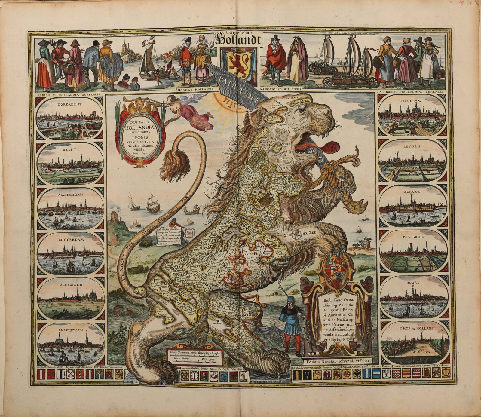
The first is the Leo Hollandicus of Claes Jansz. Visscher, Comitatus Hollandiae Denua Forma Leonis, dated 1648: a copperplate engraving of 46 by 56 cm in contemporary colour, recently refreshed, a strong impression on heavy paper and without restoration. The lion map of the Netherlands was first printed in 1583, at the height of the first phase of the Eighty Years War, the lion chosen for strength and courage. Visscher designed this one, which puts the emphasis on Holland north and south rather than on all seventeen provinces, in 1611, at the start of the Twelve Years Truce. Van der Heijden records that no copy of that first state is known to survive, that a single copy of the second state of 1633 is in the British Library, and that of the third state, which is this one, eight copies are known besides ours. The date it carries is not an accident: 1648 is the year of the Peace of Munster, which settled Dutch independence.
The decoration at the top of the sheet is worth looking at closely. It shows a sailing chariot running on the beach and a sailing boat on skates on the ice. The chariot is Simon Stevin's, built for Prince Maurits, and in the spring of 1602 it carried twenty-eight people from Scheveningen to Petten, some ninety kilometres, in about two hours. On board were Maurits at the tiller, Stevin himself, the nineteen-year-old Hugo Grotius, Maurits's half-brother Frederik Hendrik, the French ambassador, a brother of the king of Denmark, and the captured Spanish admiral Francisco de Mendoza, taken along on the ride while his country was at war with theirs. Nothing on land had ever moved that fast, and the map puts it on the lion's shoulder as a boast about Dutch ingenuity.
The second is the Nieuwe Kaart van Gooilandt by Gerrit Post, published by R. & J. Ottens without date but around 1725, a copperplate engraving of 52 by 82 cm in full contemporary body colour, in excellent condition and without repair. It is listed in the Ottens sales catalogue at Wolfenbuttel as number 146, Carte mesuree de Gooyland avec ses villes et villages. It may well be the first printed map of the region; it is preceded only by two large manuscript maps of 1709 and 1723, all of them concerned to show het Gooi and above all to fix its boundary with Utrecht. The map is dedicated to Hendrick Bicker, alderman of Amsterdam, and it names the country houses of the Amsterdam elite along the Naarder Veldt and Trompen Veldt: Roeters, Bicker, Deuts, Van Waveren and the rest. It is exceedingly rare and has been offered for sale only once in the last thirty years.
Those two maps also point at the man who ordered the atlas. The Gooiland map is coloured in different tones from the rest and was probably coloured before it was bound in, and the Leo Hollandicus is nearly a century older than everything around it. Both look like maps the client already owned and wanted included. The likeliest reading is that the first owner was Dutch, and that he lived in het Gooi or had one of the new buitenhuizen there.
Related works
Antique Maps · FM-0107
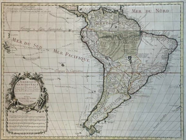
L'Amerique Meridionale, dressée sur les observations de Mrs. de l'Academie Royale des Sciences
DE L'ISLE, Guillaume · Paris · 1700
€ 3.000
Antique Maps · FM-0002
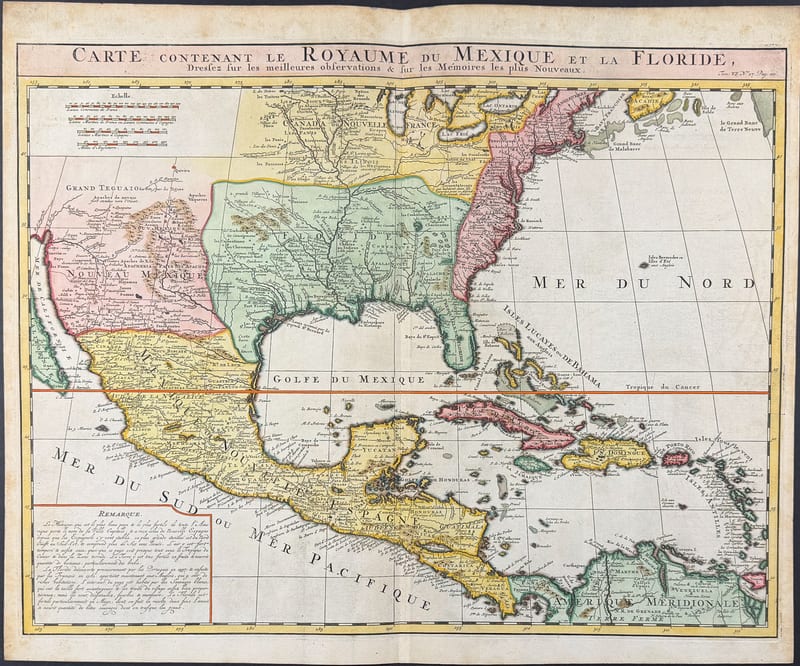
CARTE DU ROYAUME DU MEXIQUE ET DE LA FLORIDE
Henri Abraham Chatelain, after Guillaume Delisle · Amsterdam · c. 1719
€ 1.600
Antique Maps · FM-0049
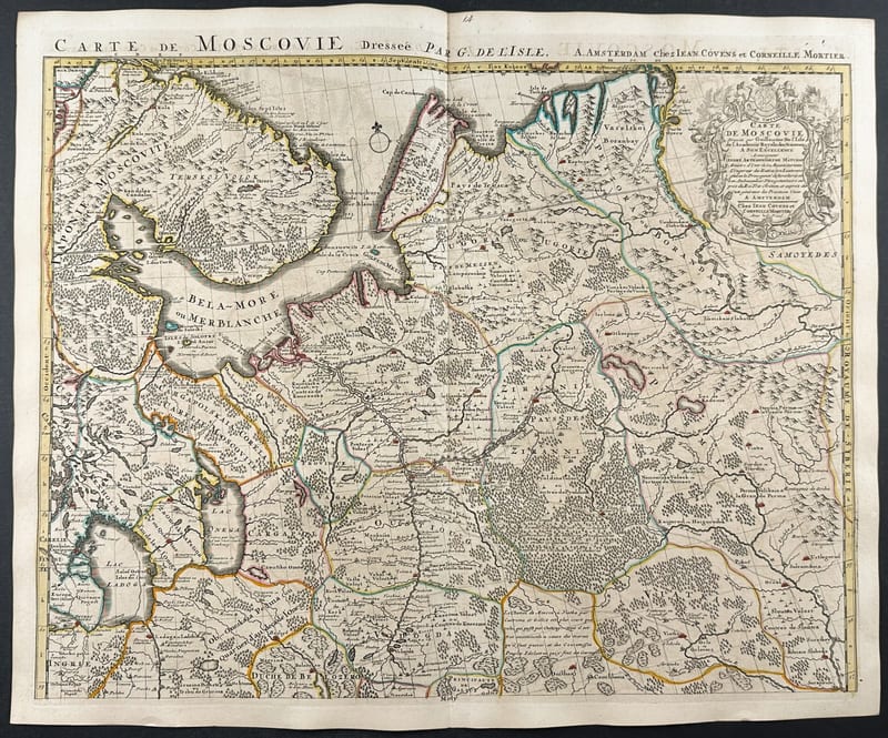
Carte de Moscovie, Russia and the Ukraine (a pair of maps)
Guillaume De L'Isle · Paris · c. 1706
€ 800
Antique Maps · FM-0158
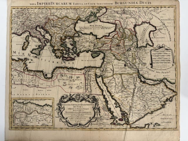
Estats de l'Empire du Grand Seigneur des Turcs, en Europe, en Asie et en Afrique (The Ottoman Empire), à l'usage de Monseigneur le Duc de Bourgogne
JAILLOT, Alexis-Hubert, after Nicolas Sanson · Paris · 1696
€ 800
All 4 works: Guillaume Delisle → · Guillaume Delisle · Nicolas Sanson and Hubert Jaillot