Antique Maps
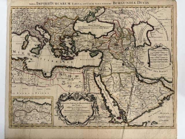
Estats de l'Empire du Grand Seigneur des Turcs, en Europe, en Asie et en Afrique (The Ottoman Empire), à l'usage de Monseigneur le Duc de Bourgogne
JAILLOT, Alexis-Hubert, after Nicolas Sanson · Paris · Hubert Jaillot, joignant les Grands Augustins, aux Deux Globes · 1696
Jaillot's large two-sheet map of the Ottoman Empire in Europe, Asia and Africa, divided into its beglerbegliks, in the edition of 1696 dedicated to the Duc de Bourgogne, with the Latin title in the upper border and the inset of the Barbary coast, in old outline colour
FM-0158
€ 800
Key Properties
Edition: Jaillot's issue of 1696 from the series à l'usage de Monseigneur le Duc de Bourgogne, with the Latin title Nova Imperii Turcarum Tabula ad usum Serenissimi Burgundiae Ducis in the upper border; the map first published by Jaillot in 1686 after Sanson's map of 1654
Language: French, with Latin title
Format: Copperplate engraving on two joined sheets of laid paper
Dimensions: Sheet 53 x 63 cm (height x width)
Colouring: Old outline colour
Collation & Technical Description
A large map of the Ottoman Empire at its greatest extent, from Spain and the Kingdom of Algiers in the west to the Caspian Sea, Mawaralnahra and the Empire of the Persians in the east, and from the Black Sea and the confines of Great Tartary in the north to Egypt, Arabia and the Indian Ocean in the south, the frontiers of the beglerbegliks and the tributary states marked in colour. The title in a large baroque cartouche in the lower centre, with the arms of France borne by angels, a Turk and a Moor as supporters, and the dedication to Monseigneur le Duc de Bourgogne, signed par son très humble et très obéissant serviteur H. Jaillot, à Paris 1696. The scale cartouche at the right with scales in Italian miles and French, German, Hungarian, Persian and Turkish leagues, and the imprint à Paris chez H. Jaillot, joignant les Grands Augustins, aux Deux Globes, avec privilège du Roy pour vingt ans, 1696. In the lower left an inset of the Mediterranean coast of Barbary from the Kingdom of Fez to Tunis and Biledulgerid. Along the upper border the Latin title Nova Imperii Turcarum Tabula ad usum Serenissimi Burgundiae Ducis. Lettered borders for reference.
Condition
Old outline colour on two joined sheets. Age-toned, with spotting, creasing and some soiling; the left-hand margin frayed, and old paper strips on the verso along the edges. A complete but well-used example, offered as such.
References & Bibliography
Pastoureau, Les atlas français XVIe-XVIIe siècles, Jaillot. Tooley's Dictionary of Mapmakers, Jaillot. Library of Congress, Sanson, Estats de l'Empire du Grand Seigneur des Turcs, Paris 1654, for the source map.
Description
Alexis-Hubert Jaillot (about 1632 to 1712), a sculptor by training, entered the map trade after his marriage into the Berey family of engravers and from 1669 worked with the sons of Nicolas Sanson, the founder of French cartography. He re-engraved Sanson's maps on a much larger scale and published them, with the title of géographe du Roi, in the years when the Dutch trade had been crippled by the fire that destroyed Blaeu's printing house in 1672. His Atlas Nouveau of 1681 and its successors made Paris for a generation the centre of the European map trade.
This map of the Ottoman Empire, first published by Jaillot in 1686, goes back to Sanson's map of the Turkish empire of 1654 and shows the empire in Europe, Asia and Africa divided into its beglerbegliks, the great provincial governments, together with the tributary states from Barbary to the Crimea. The present example is the issue of 1696 from the series dedicated to the Duc de Bourgogne, the grandson of Louis XIV and pupil of Fénelon, for whose instruction Jaillot furnished his large maps with a Latin title in the upper border. It was made in the years of the great Turkish war that followed the relief of Vienna in 1683 and ended at Karlowitz in 1699, when the map of the Ottoman Empire was for the first time redrawn at the expense of the Sultan.
The map carries the elaborate title cartouche with the arms of France and the figures of a Turk and a Moor, the scale cartouche with Jaillot's address aux Deux Globes, and the inset of the Barbary coast that shows the corsair states of Algiers and Tunis under Ottoman suzerainty.
Historical Significance
For the Dutch and other Europeans trading to the Levant in the last decade of the seventeenth century, this was the standard large map of the power that controlled the eastern Mediterranean, the overland routes to Persia and the Red Sea route to India. Published in the year of the Turkish war, it records the Ottoman provinces on the eve of the first great retreat of the empire from Europe.
Provenance
Available on request.
Related works
Cartography · FM-0079
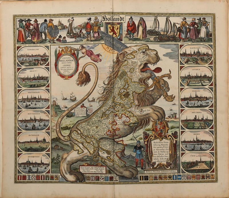
Composite atlas, without title
Reinier and Josua Ottens, with maps by Visscher, De Wit, Delisle, Jaillot, Covens & Mortier, Schenk, Valk and others · Amsterdam · No date, but 1730 or shortly after
Price on request
Antique Maps · FM-0053
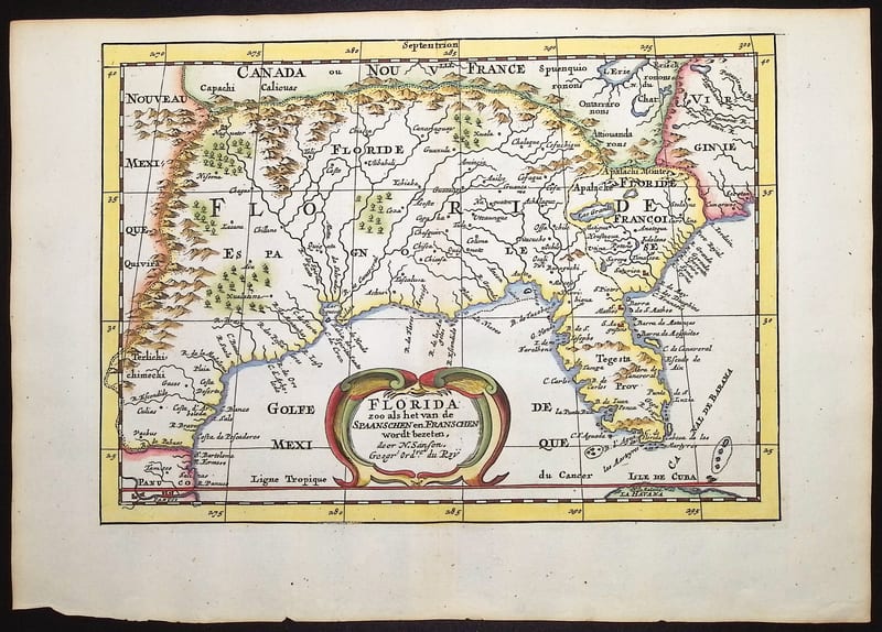
Florida zoo als het van de Spaanschen en Franschen wordt bezeten (Florida as held by the Spanish and the French)
SANSON, Nicolas (engraved by Anthonie de Winter) · Utrecht and Amsterdam · 1705
€ 700
Antique Maps · FM-0052
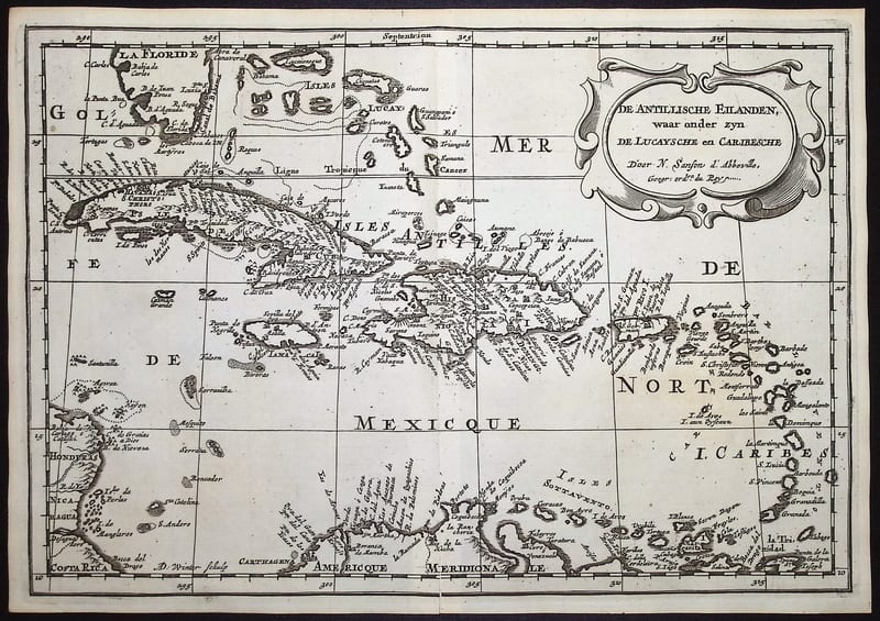
De Antillische Eilanden, waar onder zyn de Lucaysche en Caribesche (The West Indies)
SANSON, Nicolas (engraved by Anthonie de Winter) · Utrecht and Amsterdam · 1705
€ 380
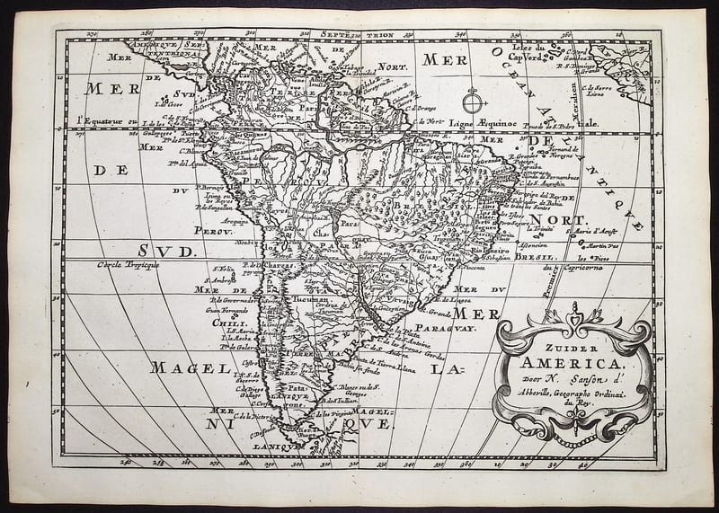
Antique Maps · FM-0051
Zuider America (South America)
SANSON, Nicolas (engraved by Anthonie de Winter) · Utrecht and Amsterdam · 1705
€ 360
All 5 works: Nicolas Sanson and Hubert Jaillot →