Antique Maps
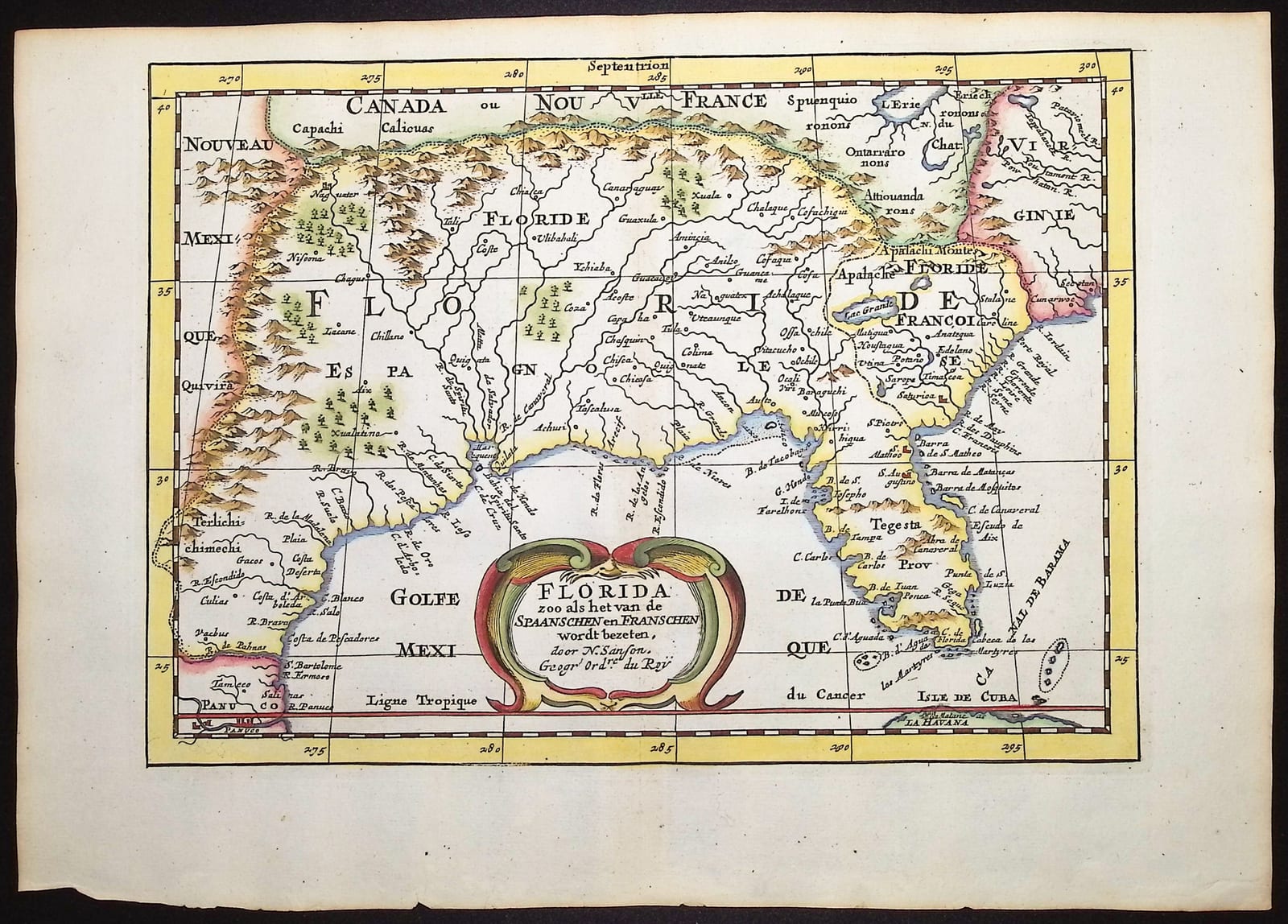
Florida zoo als het van de Spaanschen en Franschen wordt bezeten (Florida as held by the Spanish and the French)
SANSON, Nicolas (engraved by Anthonie de Winter) · Utrecht and Amsterdam · François Halma, in Phérotée de La Croix, Algemeene Weereld-Beschryving · 1705
The Dutch edition of Sanson's La Floride of 1657, the first map to depict the American South-East on its own, here in the version engraved by Anthonie de Winter for François Halma's Algemeene Weereld-Beschryving of 1705, with the title in Dutch and Sanson named as Geographer to the King; in old colour
FM-0053
€ 700
Key Properties
Edition: Dutch edition, from A. Phérotée de La Croix, Algemeene Weereld-Beschryving (the Dutch translation of the Nouvelle Methode pour apprendre facilement la Geographie Universelle), Utrecht and Amsterdam, François Halma, 1705
Cartographer: Nicolas Sanson d'Abbeville (1600 to 1667), after his La Floride of 1657
Engraver: Anthonie de Winter, a close copy of Sanson's plate with the title translated into Dutch
Language: Dutch title, the place-names in French and Spanish as on the original
Format: Copperplate engraving on laid paper
Map: approximately 18 x 25 cm
Colouring: Old colour, in outline and wash
Collation & Technical Description
A single sheet, the map engraved within a graduated border. Title in a strapwork cartouche at the left, in the Gulf of Mexico: FLORIDA zoo als het van de Spaanschen en Franschen wordt bezeten, door N. Sanson, Geogr. ordre. du Roy. The map covers the south-east of North America from the Gulf coast of Mexico (Mexique) and the Panuco river in the west to the Atlantic coast of Virginia and Chesapeake Bay in the east, and from the Great Lakes (Lac Erie and the lands of Nouveau Canada ou Nouvelle France) in the north to the northern coast of Cuba and the Bahama Channel in the south. Florida is shown as the whole region, divided between the Spanish (Espagnole) and the French (Françoise), with the Apalache mountains, the many rivers of the interior, the peninsula with the Tegesta Province and the Cape of Canaveral, the Isle de Cuba and the Canal de Bahama. Scale of Spanish leagues at the foot. Blank verso.
Condition
Very good condition. A clean, well-printed impression with attractive old colour, on a full sheet with wide margins; some light age toning. Detailed condition report available on request.
References & Bibliography
Burden, The Mapping of North America, no. 546 (De Winter's Dutch edition of Sanson's La Floride; Sanson's original of 1657 described in vol. I). Burden 326 and Cumming, The Southeast in Early Maps, 53 (Sanson's La Floride, 1657). Pastoureau, Les Atlas Français, Sanson V (L'Amerique en plusieurs cartes). The University of North Florida (Allen Lastinger Center for Florida History) holds an example of this Dutch edition dated 1705.
Description
Nicolas Sanson's map of Florida, first published in Paris in 1657 in his L'Amerique en plusieurs cartes, was the first printed map devoted to the south-east of North America. Where earlier maps had treated the region as a corner of a general map of America or of New Spain, Sanson gave it a sheet of its own, extending from the Gulf coast of Mexico to Virginia and from the Great Lakes to Cuba, and set out the competing Spanish and French claims that the title records. Its geography rests on the Spanish accounts of the Soto expedition and on the French Huguenot settlement of the 1560s, so that alongside the Spanish names of the coast appear the French names of the rivers of the Atlantic seaboard and the country of the Apalache. Sanson's picture of the region, with its great river systems flowing into the Gulf and its Apalache mountains, remained the standard image of the American South-East until the French exploration of the Mississippi at the end of the century.
The present example is the Dutch version of the map. In the 1680s the Utrecht bookseller Joannes Ribbius had Sanson's quarto maps re-engraved by Anthonie de Winter, who copied the plates closely and retained Sanson's name and his title of Geographer to the King in the cartouche, while translating the titles into Dutch. François Halma acquired the plates and used them in 1705 to illustrate his Algemeene Weereld-Beschryving, the Dutch translation of A. Phérotée de La Croix's Nouvelle Methode pour apprendre facilement la Geographie Universelle, a popular geographical handbook of the period. The map thus records Sanson's cartography of the mid-seventeenth century as it was still being circulated to a Dutch readership half a century later, on the eve of the founding of French Louisiana.
Historical Significance
Sanson's La Floride is the foundation map of the American South-East, the first to give the region its own sheet, and the source of much of the later seventeenth-century cartography of the Gulf coast. The Dutch edition is considerably scarcer than the French original and is a handsome example of the way Sanson's maps were spread across Europe by copyists and translators.
Provenance
Available on request.
Related works
Cartography · FM-0079
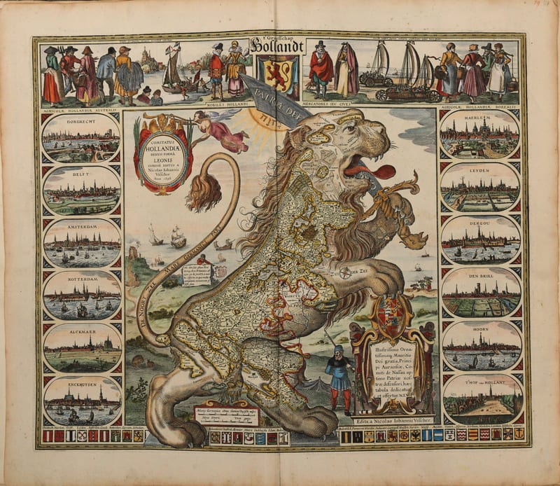
Composite atlas, without title
Reinier and Josua Ottens, with maps by Visscher, De Wit, Delisle, Jaillot, Covens & Mortier, Schenk, Valk and others · Amsterdam · No date, but 1730 or shortly after
Price on request
Antique Maps · FM-0158
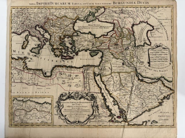
Estats de l'Empire du Grand Seigneur des Turcs, en Europe, en Asie et en Afrique (The Ottoman Empire), à l'usage de Monseigneur le Duc de Bourgogne
JAILLOT, Alexis-Hubert, after Nicolas Sanson · Paris · 1696
€ 800
Antique Maps · FM-0052
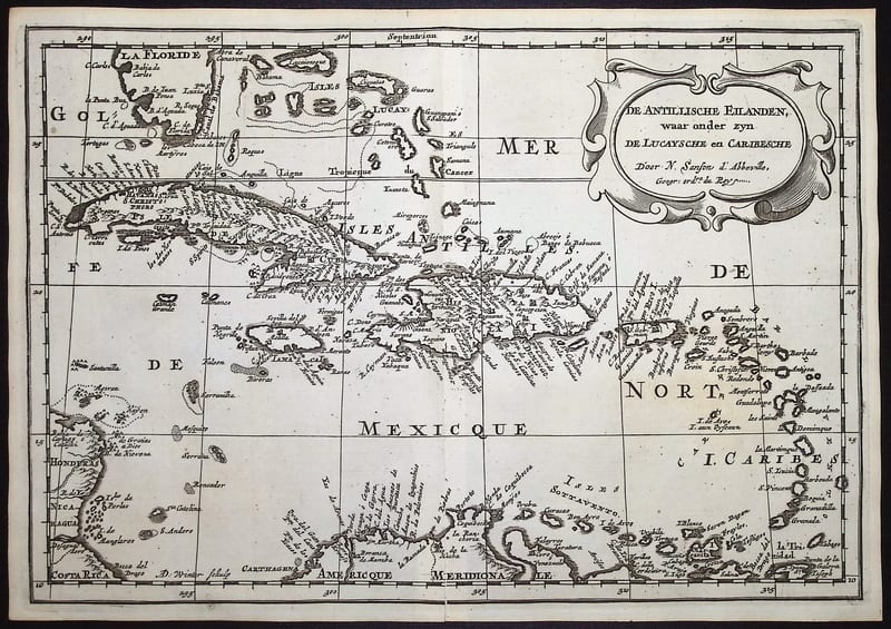
De Antillische Eilanden, waar onder zyn de Lucaysche en Caribesche (The West Indies)
SANSON, Nicolas (engraved by Anthonie de Winter) · Utrecht and Amsterdam · 1705
€ 380
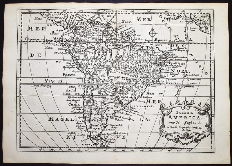
Antique Maps · FM-0051
Zuider America (South America)
SANSON, Nicolas (engraved by Anthonie de Winter) · Utrecht and Amsterdam · 1705
€ 360
All 5 works: Nicolas Sanson and Hubert Jaillot →