Antique Maps
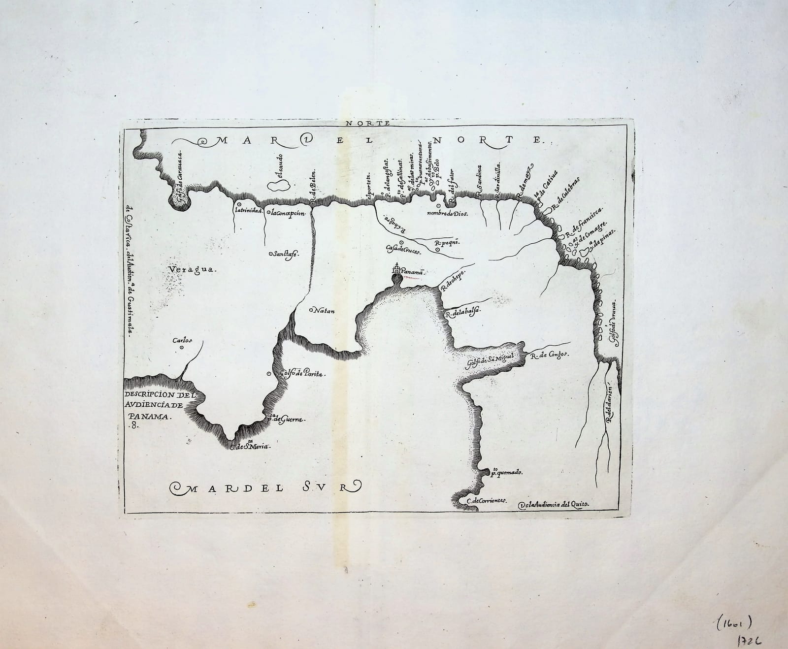
Descripcion de la Audiencia de Panama (The Audiencia of Panama, the Isthmus)
HERRERA Y TORDESILLAS, Antonio de · Madrid · Nicolás Rodríguez Franco · c. 1726-1730
Herrera's map no. 8, The Audiencia of Panama, the Isthmus, from the second Spanish edition of the Descripcion de las Indias Occidentales, Madrid c. 1726 to 1730: the official Spanish cartography of the Indies in its eighteenth-century re-engraving
FM-0190
€ 475
Key Properties
Edition: Second Spanish edition, Madrid, Nicolás Rodríguez Franco, c. 1726 to 1730 (the maps undated), from Herrera's Descripcion de las Indias Occidentales
Plate: Map no. 8 of the series of fourteen
Cartographer: Antonio de Herrera y Tordesillas (1549 to 1626), Cronista Mayor de Indias, after Juan López de Velasco
Language: Spanish
Format: Copperplate engraving on laid paper, issued folding
Colouring: Uncoloured, as issued
Collation & Technical Description
A single leaf, the map engraved within a ruled border, the title in a panel: DESCRIPCION DE LA AUDIENCIA DE PANAMA. The map shows the Isthmus of Panama between the Caribbean (Mar del Norte) and the Pacific (Mar del Sur), with Panama, Nombre de Dios and the settlements, rivers and coasts of the district. Wide margins.
Condition
Good condition, with wide margins and the fold as issued. Individual condition report (margins, fold, paper, any spotting or restoration) available on request.
References & Bibliography
Sabin 31544 (Herrera, Historia General, the Madrid editions). Burden, The Mapping of North America, on the Herrera maps of 1601 and their re-engraving for the second edition. Medina, Biblioteca Hispano-Americana, and Palau, on the Madrid editions.
Description
Early map of the Audiencia of Panama, depicting the strategically crucial isthmus between the Caribbean and Pacific. Panama, Nombre de Dios, settlements, rivers and coastal features are shown. The isthmus formed the vital overland connection in Spain's transatlantic imperial network.
Copper-engraved map from the second Spanish edition of Herrera's celebrated Descripción de las Indias Occidentales, published as the geographical introduction to his Historia General de los Hechos de los Castellanos en las Islas y Tierra Firme del Mar Océano. Originally published in Madrid in 1601, Herrera's fourteen maps form an important early printed cartographic representation of Spain's possessions in the New World. Herrera, official Cronista Mayor de las Indias, had privileged access to Spanish governmental and geographical sources; the cartography is closely connected with the manuscript geographical work of Juan López de Velasco, Cosmographer-Chronicler of the Indies. The maps of the second edition were newly engraved after the plates of 1601 and are undated; the edition of the Historia General by Nicolás Rodríguez Franco appeared at Madrid between 1726 and 1730.
Historical Significance
Herrera's fourteen maps of 1601 were the first printed maps to give the official Spanish cartography of the Indies, organised by the districts of the audiencias. The second edition of the 1720s put this administrative picture of the Spanish empire back into circulation a century later, at the moment when the Bourbon reforms were beginning to reshape it.
Provenance
Available on request.
Related works
Voyages & Discovery · FM-0033
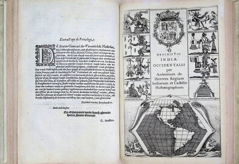
Spieghel der Australische navigatie
Jacob le Maire; Antonio de Herrera; Pedro Ordóñez de Ceballos · Amsterdam · 1621–1622
€ 35.000
Voyages & Discovery · FM-0065
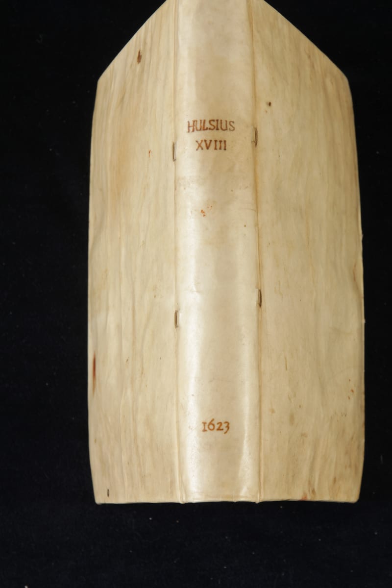
Achtzehenter Theil der Newen Welt
Levinus Hulsius (after Antonio de Herrera) · Frankfurt am Main · 1623
€ 15.000
Antique Maps · FM-0135
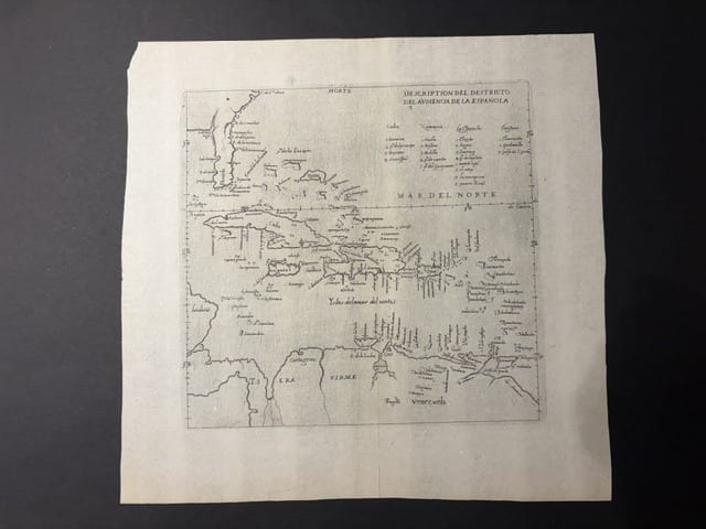
Descripcion del Destricto del Audiencia de la Española (The Caribbean: Hispaniola, Cuba, Jamaica, Puerto Rico and the Spanish Main)
HERRERA Y TORDESILLAS, Antonio de · Madrid · 1601
€ 1.750
Antique Maps · FM-0126
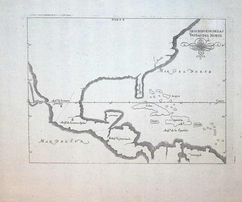
Descripcion de las Yndias del Norte (Spanish North America: Mexico, Florida, Central America and the Caribbean)
HERRERA Y TORDESILLAS, Antonio de · Madrid · c. 1726-1730
€ 950
All 18 works: Antonio de Herrera y Tordesillas →