Antique Maps
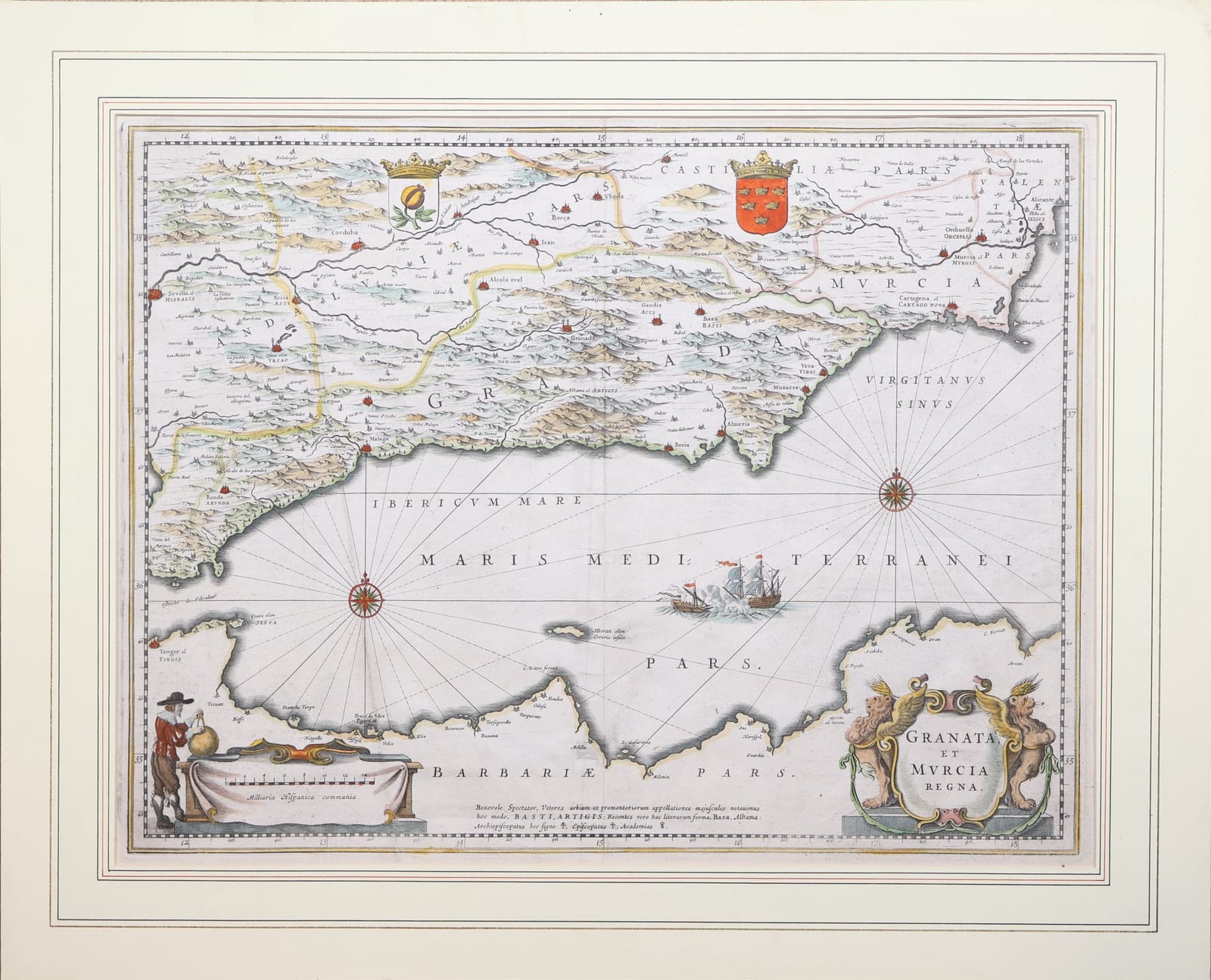
Granata, et Murcia Regna
JANSSONIUS, Johannes · Amsterdam · Johannes Janssonius · 1636 or later (Dutch text edition)
Johannes Janssonius' map of the kingdoms of Granada and Murcia, from Seville to Alicante with the facing coast of North Africa, in hand colour, with Dutch text on the verso.
FM-0222
€ 390
Key Properties
Maker: Johannes Janssonius, Amsterdam
Technique: copper engraving with hand colour
Language: map in Latin; text on the verso in Dutch (Het Coninckrijck Granaden; Het Coninckrijck Murcia)
Collation & Technical Description
Copper engraving with hand colour; title and lettering of the map in Latin. Dutch text on the verso, with woodcut initials and a woodcut tailpiece.
Condition
The paper has warm, age-related toning and visible signs of minor damage in the margins.
References & Bibliography
Van der Krogt, Koeman's Atlantes Neerlandici I, 6130:1 (the Janssonius plate; first published 1636). Blaeu's map of the same title is a different plate, Van der Krogt 6130:2.
Description
Map of the kingdoms of Granada and Murcia in southern Spain, from Seville and the Strait of Gibraltar to Alicante, with the facing coast of North Africa from Tangier and Ceuta to Oran.
The sea is crossed by rhumb lines from two compass roses and shows a fight between a galley and a sailing ship. The arms of Granada, a pomegranate, and of Murcia stand at the top of the map. Lower left a cartographer measures a globe with dividers beside the scale of Spanish miles; lower right the title is held by two winged lions. A note to the reader at the foot, Benevole Spectator, explains the lettering: ancient names in capitals (BASTI, ARTIGIS), modern names in lower case (Baza, Alhama), and the signs for archbishoprics, bishoprics and academies.
The verso carries the Dutch text in black letter, Het Coninckrijck Granaden and Het Coninckrijck Murcia, with woodcut initials. It explains the name of the city: just as a pomegranate is full of seeds and splits open when ripe, Granada is built with its houses close together, while in one place it is hardly built on at all, as if it gaped.
Related works
Antique Maps · FM-0184
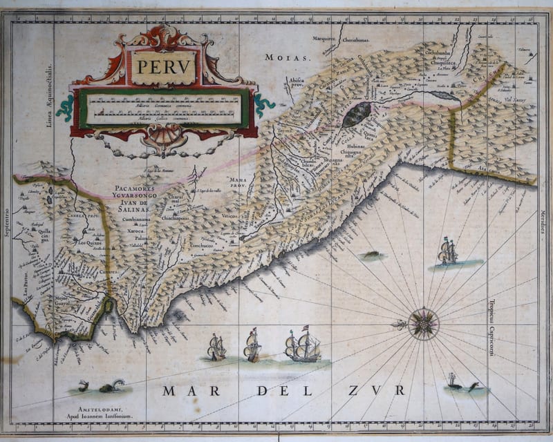
Peru (the Viceroyalty of Peru, from Ecuador to northern Chile)
JANSSONIUS, Joannes · Amsterdam · c. 1640
€ 850
Antique Maps · FM-0176
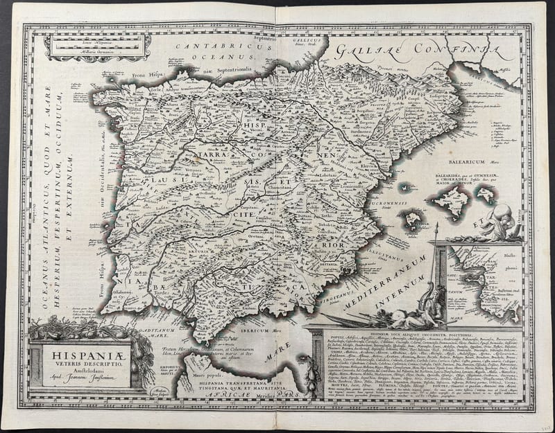
Hispaniae Veteris Descriptio (Ancient Spain and Portugal)
JANSSONIUS, Joannes (engraved by Abraham Goos) · Amsterdam · [1652 or later]
€ 750
All 3 works: Joannes Janssonius →