Voyages & Discovery
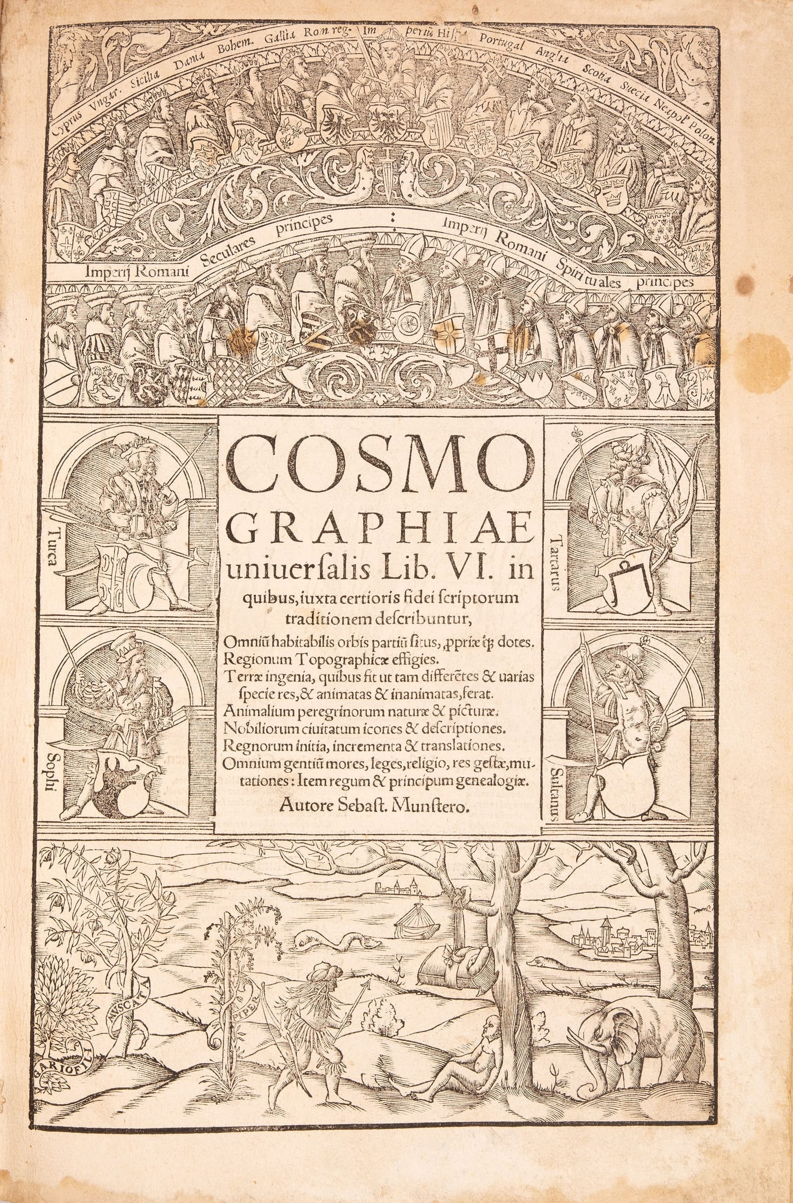
Cosmographiae universalis Lib. VI
MÜNSTER, Sebastian · Basel · Heinrich Petri · 1550
The first Latin edition of Münster's Cosmography in its great revised form of 1550, the last edition edited by Münster himself, with the 14 double-page maps, the author's portrait, the folding views of Heidelberg, Vienna and Worms and some 900 woodcuts.
FM-0275
€ 35.000
All prices include VAT. Import duties outside the EU are not included.
Key Properties
Edition: first Latin edition of the revised and expanded 1550 Cosmography
Format: folio, 32.2 x 21.6 cm
Illustrations: woodcut title border by Hans Rudolf Manuel Deutsch, full-page portrait of Münster, 14 double-page maps, 3 folding views, 37 double-page views and plans, over 900 woodcuts in the text
Collation: 12 leaves, 474 pp., 2 leaves (view of Speyer), pp. 475-480, 2 leaves (view of Worms), pp. 481-1162, 2 unnumbered pp.
Binding: later light brown leather over wooden boards, using old blind-stamped leather covers, two metal clasps on leather straps
Provenance: ex-libris of the library of Grandson Castle, Blonay, on the front flyleaf
Censorship: uncensored copy
Collation & Technical Description
12 leaves, 474 pp., 2 leaves (view of Speyer), pp. 475-480, 2 leaves (view of Worms), pp. 481-1162, 2 unnumbered pp. With the woodcut title border, the portrait of the author on the verso of the title, 14 double-page maps, 3 folding engraved city views, 37 double-page views and plans, and over 900 (partly repeated) woodcuts in the text. A complete copy.
Condition
Binding worn. Title with brown spots in the upper part of the woodcut border, waterstained at the edges and with three small holes at the top edge, one with loss of some text. The first ten leaves (preface and index) more heavily waterstained at the upper and outer margins; faint marginal waterstains to the first eight pages of the text and elsewhere. Map of Europe with two small backed tears in the lower and outer blank margins; map of Spain with two small holes within the woodcut; maps of Nova Graecia, Africa and America with waterstains outside the image. Repaired corner tear to p. 117. Double-page view of Rome with a tear in the lower margin; view of Venice with a brown shadow and two small stains; view of Florence more heavily browned; view of Baden lightly stained in the upper margin. Folding view of Worms with extensive backing to the lower right margin and two backed tears to the lower left margin, that margin browned and frayed; folding view of Vienna with a small backed paper defect in the first fold; both folds of the folding view of Heidelberg reinforced, with stains to the margins. Some small, mostly backed marginal tears. One woodcut (p. 1049) coloured. Otherwise the paper in good condition, wide-margined, with minor signs of use and age.
References & Bibliography
VD16 M 6714. Alden-Landis 550/27. Burmeister 87. Sabin 51379. Brunet III, 1945. Graesse IV, 622.
Description
For more than half a century, if a European reader wanted to know what the world looked like, he opened Sebastian Münster's Cosmographia. It set out to describe the whole earth: its countries and cities, rulers and peoples, animals, plants, mines and marvels, in words and in pictures, with Germany and Central Europe at its heart. First published in German in 1544, it became one of the great best-sellers of the sixteenth century. By the time of its last edition in 1628 it had appeared some 35 times, in German, Latin, French, Italian and Czech, in some 60,000 copies from the Petri press alone, about 50,000 in German and 10,000 in Latin. A bound copy of the 1550 edition cost 2 guilders, at a time when Münster earned some 60 guilders a year as a professor at Basel; the woodcuts alone had cost 600 guilders by 1548. Most editions run to well over a thousand folio pages.
This is the edition that made it a European book. In 1550 Münster published a completely revised, much enlarged and newly illustrated version, and he issued it first in Latin, at the end of March, with the German following shortly after. It is the first Latin edition of the Cosmographia and the last edition Münster saw through the press himself: he died of the plague in Basel two years later. In Latin the work could be read by scholars from Spain to Poland, and it was from this text that the later translations grew.
Münster (1488-1552) was an unlikely author of a world description. A former Franciscan who left the order and the Catholic Church in 1529, he was professor of Hebrew at Basel, edited the Hebrew Bible with a Latin translation and wrote Hebrew grammars. He hardly travelled. Instead he turned the book into a joint enterprise. As early as 1528 he appealed to scholars across Germany to send him descriptions and maps of their own regions, and for more than twenty years he corresponded with princes, bishops, town councils, diplomats and scholars, who supplied the views of their cities and the histories of their lands. The printer of this edition, Heinrich Petri, was his stepson: Münster had married the widow of the Basel printer Adam Petri.
The 1550 edition is the richest of all. It introduced the almost full-page portrait of Münster, the large folding panoramas of Heidelberg, Vienna and Worms, 37 double-page town views and plans, and more than fifty new maps, among them his first maps of Poland, Prussia and Switzerland. Its view of Edinburgh, sent by the Scottish scholar Alexander Ales, is the first printed view of that city. At the front stand the 14 double-page maps, including the two world maps and Münster's famous map of the New World, first issued in 1540 and one of the earliest printed maps to show the Americas as a continent of their own. Many of the town views were for decades the only printed images of their cities, and Braun and Hogenberg drew on them for their Civitates orbis terrarum.
Beside the newest geography the book keeps the wonders that made it irresistible. Among some 900 woodcuts, by Hans Rudolf Manuel Deutsch, David Kandel, Johannes Clauser and others, are the monstrous peoples of distant lands, a rhinoceros after Dürer, and the double-page plate of the monsters of the northern seas, taken from the Carta marina of Olaus Magnus, with sea serpents and whales attacking ships. Next to them are some of the earliest printed images of everyday work, such as the celebrated woodcuts of the silver mines of the Lebertal in Alsace, with miners, a dowser and the tunnels under the mountain.
Because Münster was a Protestant, his name was placed on the Index of Prohibited Books, and many copies in Catholic lands were censored, with passages inked out or pasted over. The present copy is uncensored. The Cosmographia nevertheless remained the standard description of the world for educated laymen until well into the seventeenth century, and it is one of the foundations of modern geography in Germany.
A wide-margined and uncensored copy of the first Latin edition, in a later binding over wooden boards that uses old blind-stamped leather covers, from the library of Grandson Castle. Although printed in some thousands of copies, the first Latin edition is rare on the market today: most surviving copies are in institutional libraries, and complete copies seldom appear for sale.
Historical Significance
The Cosmographia was the most widely read description of the world in the sixteenth century, and the first Latin edition of 1550 is the version in which it reached all of learned Europe. Its significance lies on several levels.
As a book, it was one of the great best-sellers of the age: some 35 editions in six languages between 1544 and 1628, with about 60,000 copies from the Petri press alone. For more than three generations it was the standard reference on geography, history and natural history for anyone who could read, from scholars and clergy to merchants and town councillors.
As a work of geography, it was the first great attempt to describe the whole known world in a modern way, joining maps, town views, history, customs, economy and natural history in one book, and it laid the foundations of regional geography (Landeskunde) in the German-speaking world. Münster built it through a network of correspondents across Europe, who sent him maps, views and descriptions of their own regions, an early collaborative scholarly enterprise on a European scale.
As a work of cartography and topography, it brought maps and city views to a wide public for the first time. The 1550 edition added more than fifty new maps, among them the first maps of Poland, Prussia and Switzerland by Münster, the first printed view of Edinburgh and dozens of other town views that remained for decades the only printed images of their cities and were used by later topographers such as Braun and Hogenberg. Its map of the New World helped to fix the image of the Americas as a continent of their own in the minds of European readers.
The 1550 Latin edition is the culmination of Münster's work: the last edition he edited himself, the most richly illustrated, and the text from which the later translations grew.
Provenance
Library of Grandson Castle, Blonay (ex-libris on the front flyleaf).
Related works
Cartography · FM-0068
Polyhistor, rerum toto orbe memorabilium (with) Pomponius Mela, De situ orbis
C. Julius Solinus and Pomponius Mela · Basel · 1543
€ 7.000
Antique Maps · FM-0020
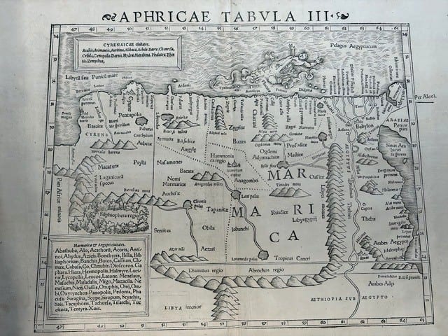
FOUR SIXTEENTH-CENTURY REGIONAL MAPS OF AFRICA
Laurent Fries; Sebastian Münster; Giovanni Antonio Magini & Girolamo Porro · Strasbourg, Basel and Venice · 1525–1597
€ 2.200
Antique Maps · FM-0011
TABULA GERMANIAE
Sebastian Münster · Basel · probably 1540
€ 425
Antique Maps · FM-0269
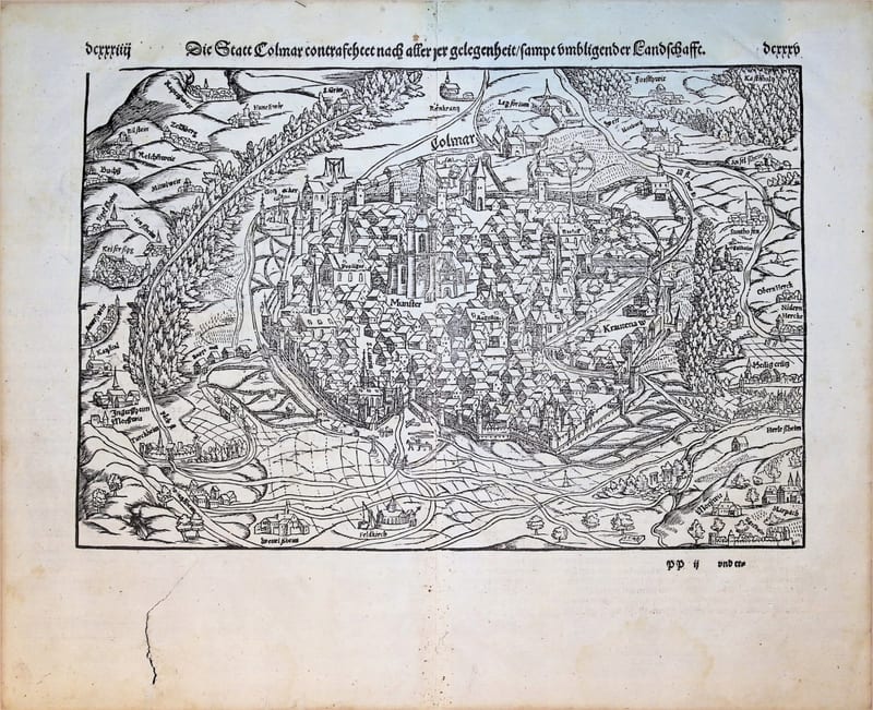
Die Statt Colmar contrafehtet nach aller jrer gelegenheit, sampt umbligender Landschafft
MÜNSTER, Sebastian · Basel · [16th century]
€ 375
All 8 works: Sebastian Münster →