Antique Maps
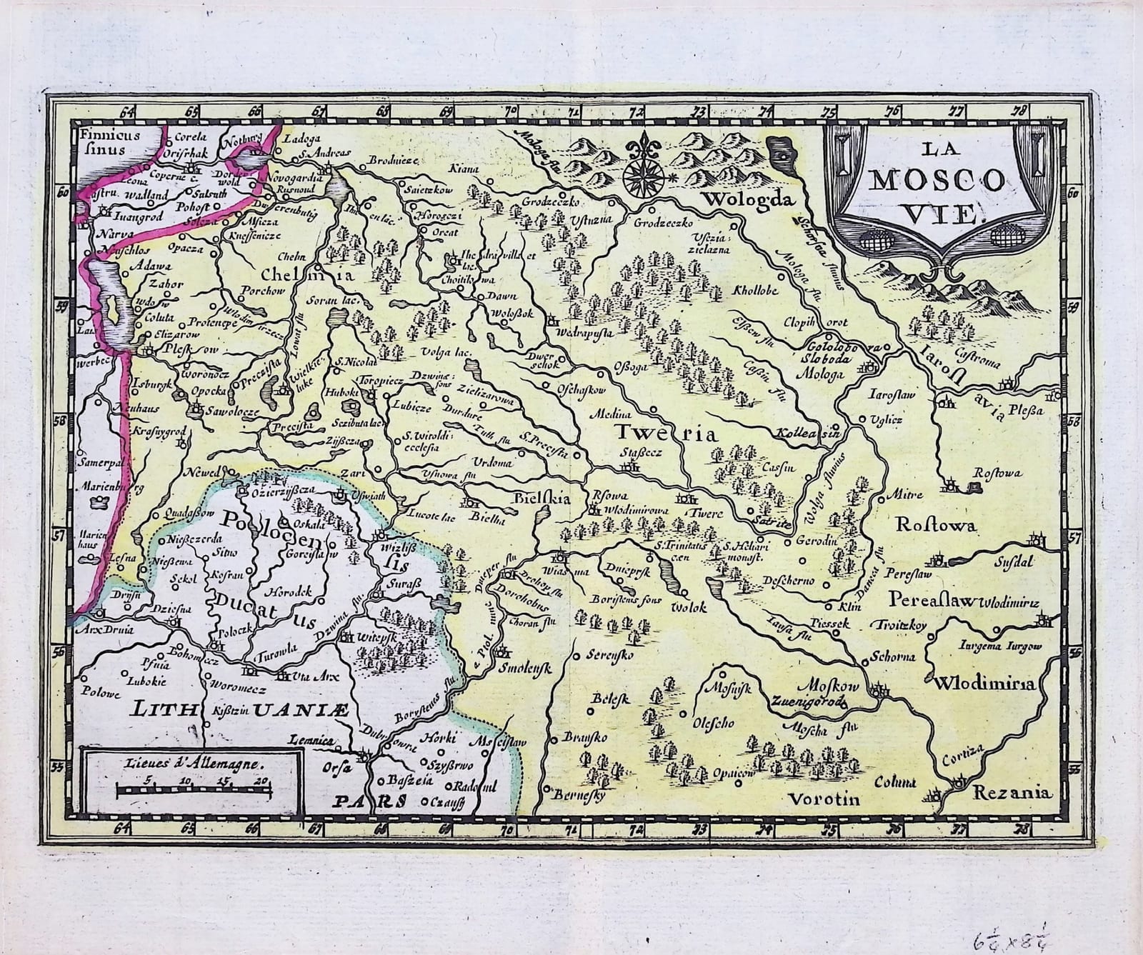
La Moscovie
after Nicolas Sanson · c. 1714 (seller: Nouveau Petit Atlas, 1714)
A small French map of western Muscovy, from the Gulf of Finland and Novgorod to Moscow, Tver, Vladimir and Ryazan, with the Duchy of Polotsk in Lithuania; hand-coloured.
FM-0284
€ 325
All prices include VAT. Import duties outside the EU are not included.
Free insured shipping. The price shown is the price you pay.
Key Properties
Source: according to the seller, the Nouveau Petit Atlas, 1714
Technique: Copper engraving, hand-coloured in outline and wash
Scale: Lieues d'Allemagne
Region: western Russia: Novgorod, Pskov, Tver, Moscow, Vladimir, Ryazan, Smolensk, and the Duchy of Polotsk
Condition
Hand-coloured. Good margins. The colour slightly offset to the verso; light spotting in the margins; a pencil note in the lower right margin.
References & Bibliography
Bagrow, A History of Russian Cartography up to 1800 (1975).
Pastoureau, Les Atlas français XVIe-XVIIe siècles (1984), for the Sanson atlases.
Description
A compact map of the heart of Muscovy as it was known in the later seventeenth century. It runs from the Gulf of Finland, Narva and Lake Peipus in the west to Rostov, Vladimir and Ryazan in the east, with Novgorod, Pskov, Tver, Moscow and Smolensk, the sources of the Volga, the Dnieper and the Dvina, and the forests and monasteries of the region. In the southwest the Duchy of Polotsk and part of Lithuania are outlined. The title is set in a draped cartouche in the upper right.
Historical Significance
Small atlases of this kind, derived from the maps of Nicolas Sanson, brought the geography of Russia to a wide French readership in the years when Peter the Great was turning Muscovy into a European power.
Related works
Cartography · FM-0079
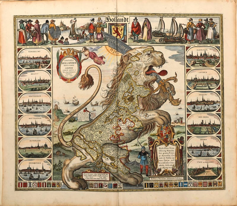
Composite atlas, without title
Reinier and Josua Ottens, with maps by Visscher, De Wit, Delisle, Jaillot, Covens & Mortier, Schenk, Valk and others · Amsterdam · No date, but 1730 or shortly after
Price on request
Antique Maps · FM-0158
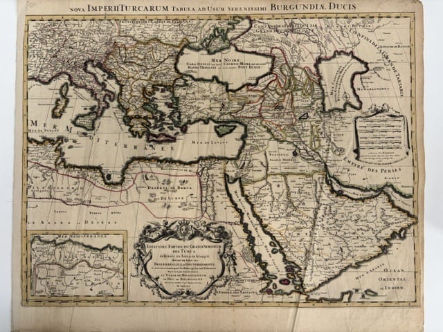
Estats de l'Empire du Grand Seigneur des Turcs, en Europe, en Asie et en Afrique (The Ottoman Empire), à l'usage de Monseigneur le Duc de Bourgogne
JAILLOT, Alexis-Hubert, after Nicolas Sanson · Paris · 1696
€ 800
Antique Maps · FM-0053
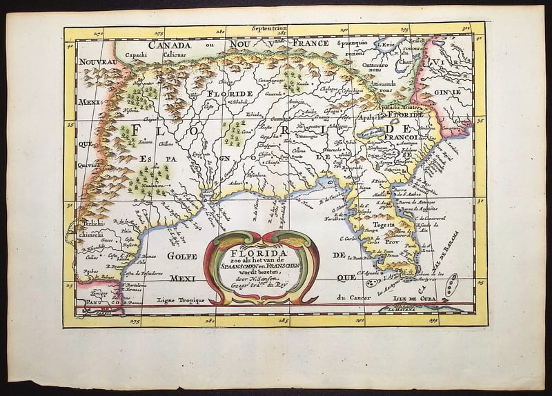
Florida zoo als het van de Spaanschen en Franschen wordt bezeten (Florida as held by the Spanish and the French)
SANSON, Nicolas (engraved by Anthonie de Winter) · Utrecht and Amsterdam · 1705
€ 700
Antique Maps · FM-0052
De Antillische Eilanden, waar onder zyn de Lucaysche en Caribesche (The West Indies)
SANSON, Nicolas (engraved by Anthonie de Winter) · Utrecht and Amsterdam · 1705
€ 380
All 6 works: Nicolas Sanson and Hubert Jaillot →