Antique Maps
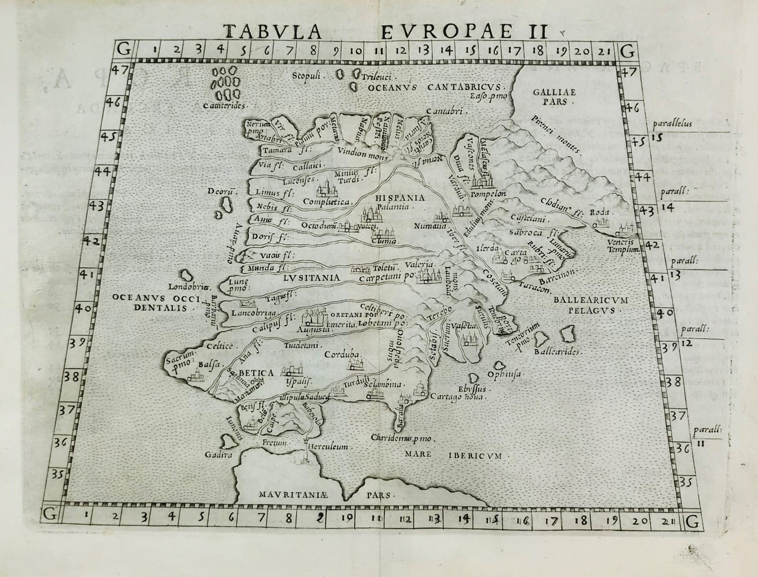
Tabula Europae II
PTOLEMY (after); RUSCELLI, Girolamo · Venice · Giordano Ziletti · 1564
Ruscelli's copperplate of Ptolemy's second map of Europe, the Iberian peninsula, from the Venice edition of 1564.
FM-0293
€ 450
All prices include VAT. Import duties outside the EU are not included.
Free insured shipping. The price shown is the price you pay.
Key Properties
Region: Iberian peninsula (Hispania, Lusitania, Baetica, Balearic Islands)
Technique: Copper engraving
Size: 262 x 200 mm plus margins
From: Ptolemy, Geografia, ed. Girolamo Ruscelli, Venice, Ziletti, 1564
Condition
Very good copy (according to the seller). The plate mark shows on three sides only, as these maps were engraved two to a plate and then cut.
References & Bibliography
Woodward, D. (ed.), The History of Cartography, vol. 3: Cartography in the European Renaissance (on the Ruscelli edition of Ptolemy, Venice 1561 and later issues).
Description
Girolamo Ruscelli's Italian edition of Ptolemy's Geography, first published in Venice in 1561 and reissued by Giordano Ziletti in 1564, was illustrated with a new set of copperplate maps, among the finest of the Venetian school. This is the Ptolemaic map of the Iberian peninsula, the second of the ten maps of Europe, with Hispania, Lusitania and Baetica, the Balearic Islands and the coast of Mauritania. A single column marks the Pillars of Hercules, the present Strait of Gibraltar.
The maps of this edition were engraved two to a plate and then cut apart, which explains why the plate mark appears on only three sides.
Historical Significance
A map from one of the most important sixteenth-century Italian editions of Ptolemy, showing the Iberian peninsula as the ancient world knew it.
Related works
Antique Maps · FM-0156
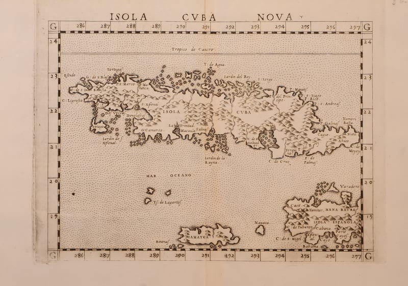
Isola Cuba Nova
RUSCELLI, Girolamo (after Giacomo Gastaldi) · Venice · 1561 or later
€ 850
Antique Maps · FM-0161
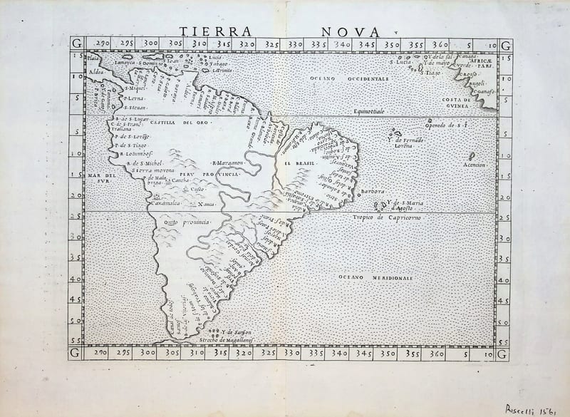
Tierra Nova (South America)
RUSCELLI, Girolamo (after Giacomo Gastaldi) · Venice · 1561 (or the reissue of 1562)
€ 850
Antique Maps · FM-0201
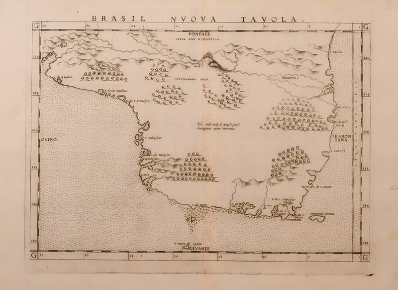
Brasil Nuova Tavola (Brazil)
RUSCELLI, Girolamo · Venice · 1561 (or the reissue of 1562)
€ 650
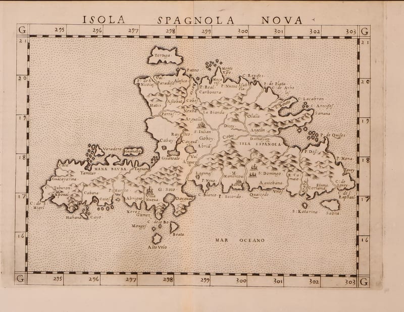
Antique Maps · FM-0185
Isola Spagnola Nova
RUSCELLI, Girolamo (after Giacomo Gastaldi) · Venice · 1561 or later
€ 600
All 6 works: Giacomo Gastaldi and Girolamo Ruscelli → · Giacomo Gastaldi and Girolamo Ruscelli · Ptolemy, the printed Geographia