Antique Maps
Ormus (Persian Gulf)
Barent Langenes (map engraved by Jodocus Hondius or Petrus Kaerius) · Middelburg · Barent Langenes, for sale at Cornelis Claesz, Amsterdam · 1598
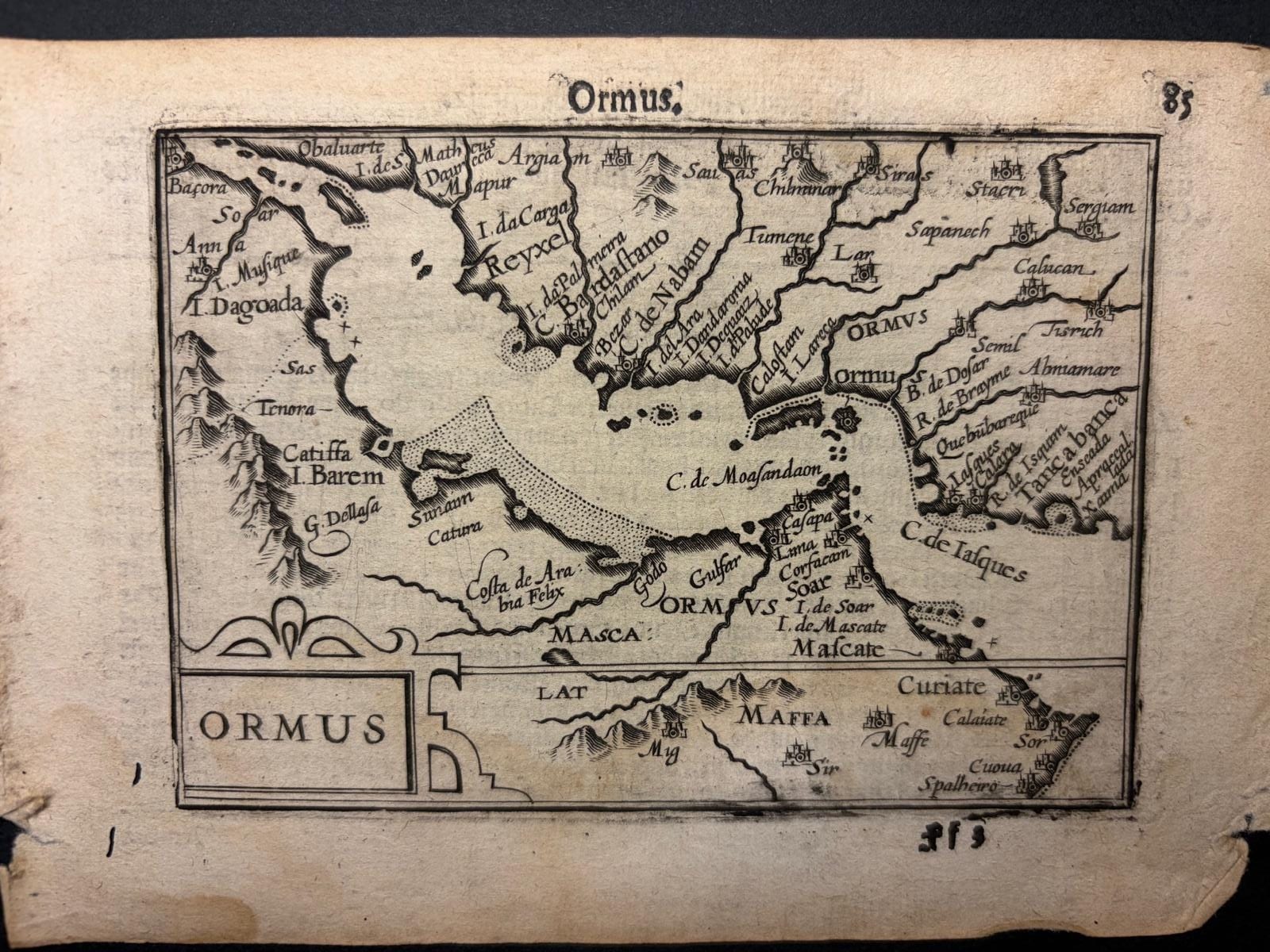
The first separately printed map of the Persian Gulf, from the first edition of Barent Langenes's Caert-Thresoor, Middelburg 1598; first state without graticule, with the Dutch description of Ormus on the verso
FM-0098
€ 5.500
Key Properties
Edition: First edition, first state, without the graticule of longitude and latitude
Language: Dutch (descriptive text on the verso)
Format: Copperplate engraving, 9 x 12 cm, on a leaf from the oblong octavo atlas (pp. 85 and 86)
Colouring: Uncoloured, as issued
Collation & Technical Description
A single leaf from the Caert-Thresoor, pp. 85 and 86: the map of Ormus on the recto, the Dutch description of the kingdom of Ormus on the verso. The map shows the island and city of Ormus at the mouth of the Persian Gulf with the neighbouring coasts of Persia and Arabia. In this first state the map is presented without the framework of longitude and latitude that was added to the plate for the later editions; the c. 1610 example reproduced in Sultan Al Qasimi's The Gulf in Historic Maps is such a later, gridded state from the edition of Petrus Bertius.
Condition
A clear, strong impression. Unrestored, in its original state, with the text on the verso.
References & Bibliography
Koeman, Atlantes Neerlandici, II, p. 254, Lan 1. Schilder, Monumenta Cartographica Neerlandica, VII, 16.1. Burger, Het Caert-Thresoor (1930), pp. 65 to 80. Tiele, Bibliographie, no. 225. King, Miniature Antique Maps (1996). Sultan bin Muhammad Al Qasimi, The Gulf in Historic Maps 1493 to 1931 (Leicester 1996), for the later state.
Description
The first map of the Persian Gulf to be printed as a map in its own right, from the first edition of Barent Langenes's Caert-Thresoor, the first Dutch pocket atlas, published at Middelburg in 1598 and sold by Cornelis Claesz in Amsterdam. Until then the Gulf had appeared only as a detail of larger maps of Asia or of the Ottoman and Persian empires; here it is given its own small plate, centred on the island of Ormus, the Portuguese-held emporium at the entrance of the Gulf that controlled the trade between Persia, Arabia and India.
The text on the verso, printed in Dutch, is a compact description of the kingdom of Ormus drawn from the geographical literature of the day. In translation: On the borders of the Persian Gulf there is a mighty kingdom called Ormus. It comprises a part of Persia watered by the rivers Tabo, Tuissindo and Druro (sic), some islands at the mouth of the Gulf, and a part of Arabia Felix bordering the same Gulf. The capital is the island of Ormus at the entrance of the Gulf, twelve miles from the coast, where the city of that name lies: a beautiful mercantile city, surpassing all other cities on that sea in the beauty of the place, the number of its shops and its exceptionally fine pearls. There is however great scarcity of wheat and fresh water, for the island is barren and yields no grain, so that everything must be brought in. Trade flourishes there exceedingly; merchants come from Arabia, India and Persia and bring silk, pearls and precious stones. On the island is a small mountain with sulphur mines on one side and salt mines on the other. The inhabitants are handsome, half Arab and half Persian, live mainly on rice, and are lovers of music and the other arts. Their king is a Saracen and pays the Portuguese fifteen thousand seraphins (the xerafim, the Portuguese-Indian silver coin) every year. The Portuguese hold a strong and well-equipped castle there.
Historical Significance
The Caert-Thresoor of 1598 was the first atlas in the Dutch language and the first pocket atlas produced in the Netherlands, engraved by Jodocus Hondius and Petrus Kaerius in the year the Dutch were preparing their second fleet for the East Indies. Its little plates carried the geography of the wider world, until then the privilege of the folio atlases of Ortelius and Mercator, to a much broader public, and its maps of the Asian trading world, Ormus among them, reflect the interest of Dutch merchants in the routes that Portugal had monopolised for a century. Ormus itself was the key to the Gulf: seized by Albuquerque in 1507 and definitively in 1515, it remained Portuguese until the Anglo-Persian capture of 1622, and the tribute to the Portuguese mentioned on the verso is the tangible sign of that dominion. The map is thus both the earliest separately printed cartographic record of the Gulf and a document of the moment when Dutch attention turned to the East.
The first edition of the atlas is extremely rare; only about thirteen copies are known to survive, and separate leaves from it seldom appear on the market. The map exists in this first state without graticule only in the 1598 edition; the plate was later reused, with a grid of longitude and latitude, in the Latin editions of Petrus Bertius.
Provenance
Available on request.
Related works
Antique Maps · FM-0127
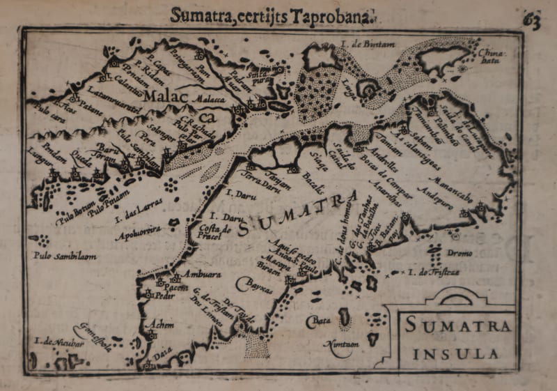
Malacca and Sumatra
Barent Langenes (maps engraved by Jodocus Hondius or Petrus Kaerius) · Middelburg · 1598
€ 2.200
Antique Maps · FM-0173
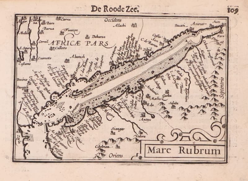
Mare Rubrum (the Red Sea)
Barent Langenes (map engraved by Jodocus Hondius or Petrus Kaerius) · Middelburg · 1598
€ 1.800
Antique Maps · FM-0123
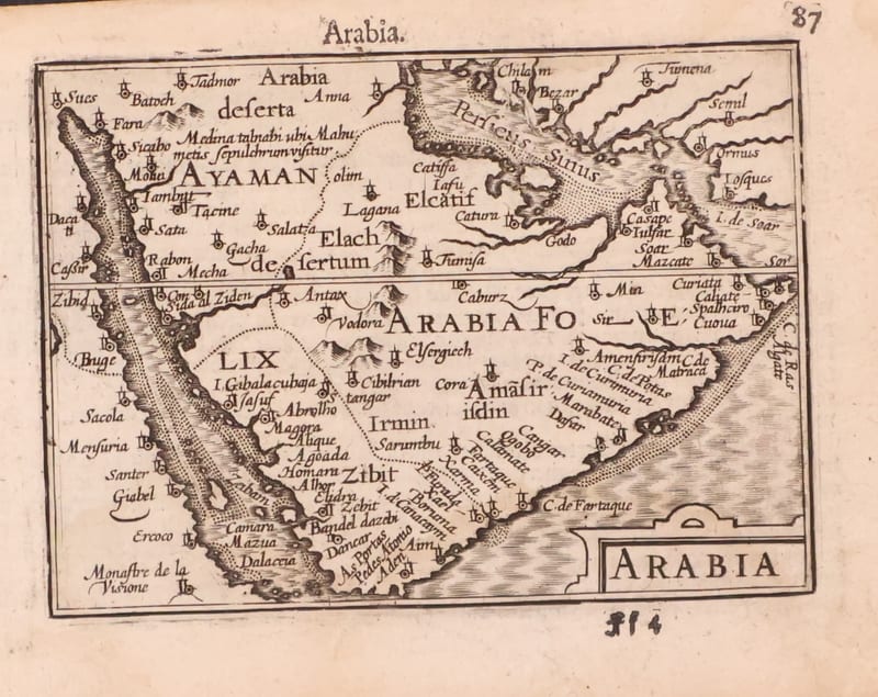
Arabia
Barent Langenes (map engraved by Jodocus Hondius or Petrus Kaerius) · Middelburg · 1598
€ 1.200
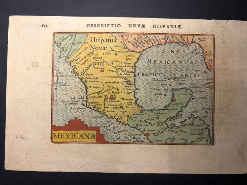
Antique Maps · FM-0166
Mexicana (Mexico and New Spain)
Petrus Bertius (plate engraved in the Van den Keere and Hondius workshop) · Amsterdam · 1602
€ 750
All 5 works: Barent Langenes and Petrus Bertius →