Antique Maps
Malacca and Sumatra
Barent Langenes (maps engraved by Jodocus Hondius or Petrus Kaerius) · Middelburg · Barent Langenes, for sale at Cornelis Claesz, Amsterdam · 1598
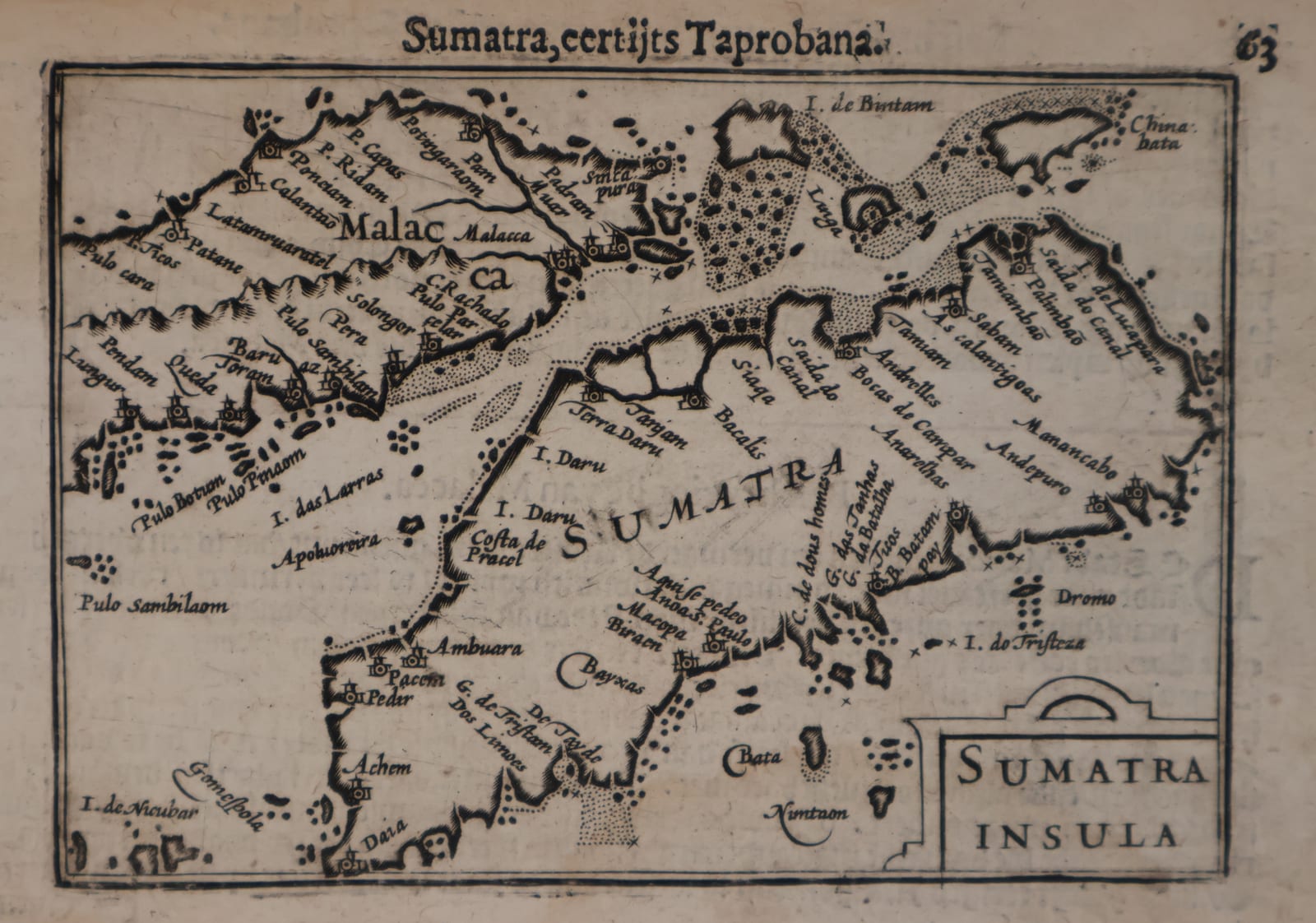
Barent Langenes, the first printed map of Malacca, naming Singapore (Sincapura) for the first time, with the second printed map of Sumatra, two leaves from the first edition of the Caert-Thresoor, Middelburg 1598
FM-0127
€ 2.200
Key Properties
Edition: First edition, first state, without the graticule of longitude and latitude
Language: Dutch (descriptive text of Malacca on the verso)
Format: Two copperplate engravings, c. 9 x 12 cm each, on leaves from the oblong octavo atlas (pp. 65 and 63)
Colouring: Uncoloured, as issued
Collation & Technical Description
Two leaves from the Caert-Thresoor: MALACCA (p. 65), with the Dutch description of Malacca, and SUMATRA INSULA (p. 63), with the letterpress header Sumatra, eertijts Taprobana. The Malacca map shows the Malay Peninsula from Ligor and Iunca Iao (Phuket) to the Strait, with Queda, Pera, Malacca, the Muar river, Pedra branca and, at the tip of the peninsula, Sincapura. The Sumatra map shows the whole island from Achem (Aceh) to the Sunda side, with the facing coast of the peninsula (Malaca), the Strait with its shoals and channels, and the islands towards Bintam and Linga. Both maps are in the first state, without the framework of longitude and latitude that was added to the plates for the later editions.
Both maps derive from Bartolomeu Lasso's manuscript map of South East Asia, brought to the Netherlands by Petrus Plancius around 1592 and printed by Cornelis Claesz in Amsterdam in 1596 in Van Linschoten's Itinerario. Langenes separated Malacca and Sumatra from that map of South East Asia and did not simply copy them: on his Malacca the Murar river now rises in the central mountains of the peninsula and splits southwards into an eastern branch emptying into the Gulf of Thailand and a western branch emptying into the Strait of Malacca (Suarez 1999).
Condition
Strong, dark impressions on toned paper, the letterpress showing through as usual. The Malacca leaf with fraying and small losses to the blank outer edge and upper corner, far from the printed border; the Sumatra leaf with good margins. Original page numbers 65 and 63 and the letterpress headers preserved.
References & Bibliography
Suarez, Early Mapping of Southeast Asia (1999), pp. 181 and 189, plate 10. Koeman, Atlantes Neerlandici, II, p. 254, Lan 1. Schilder, Monumenta Cartographica Neerlandica, VII, 16.1. Burger, Het Caert-Thresoor (1930), pp. 65 to 80. Tiele, Bibliographie, no. 225. King, Miniature Antique Maps (1996). F. Muller, general description of the Langenes atlas (2021), available on request.
Description
The first printed map of Malacca as a map in its own right, together with the second printed map of Sumatra (the first being Ramusio's of 1556), both from the first edition of Barent Langenes's Caert-Thresoor, the first Dutch pocket atlas, published at Middelburg in 1598 and sold by Cornelis Claesz in Amsterdam. On the Malacca map, Sincapura is shown and named for the first time, as is Phuket (Iunca Iao): the earliest appearance of Singapore by name on a printed map. The Malacca leaf carries the original Dutch description of Malacca.
The maps rest on the best Portuguese knowledge of the region: Lasso's manuscript cartography, smuggled north by Plancius and first engraved for Van Linschoten's Itinerario of 1596, here reduced, separated and improved for the pocket atlas. In this first edition the maps appear without graticule; there is moreover good reason to believe the printing was already done in late 1596 or early 1597.
Historical Significance
The Caert-Thresoor of 1598 was the first atlas in the Dutch language, engraved by Jodocus Hondius and Petrus Kaerius, and it exploited the particular strength of the small atlas: to depict not regions but countries, and not countries but provinces, straits and islands. It was published in the very years the Dutch were sending their first fleets past Malacca and Sumatra to the Indies, and these two maps gave Dutch merchants and the wider public their first separate image of the strait that controlled all trade between India and China. The naming of Sincapura places this little map at the head of the printed cartography of Singapore. The first edition is extremely rare: only about thirteen copies are known to survive, and separate leaves from it seldom appear on the market.
Provenance
Available on request.
Related works
Antique Maps · FM-0098
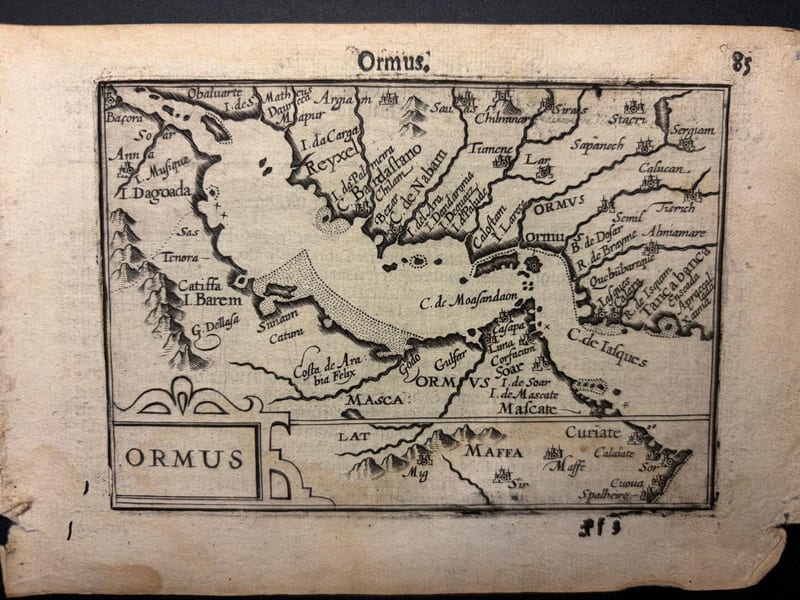
Ormus (Persian Gulf)
Barent Langenes (map engraved by Jodocus Hondius or Petrus Kaerius) · Middelburg · 1598
€ 5.500
Antique Maps · FM-0173
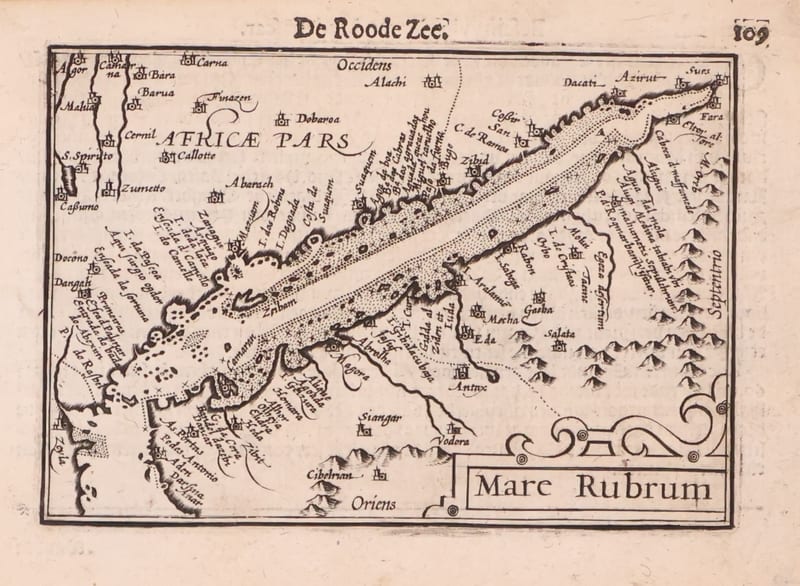
Mare Rubrum (the Red Sea)
Barent Langenes (map engraved by Jodocus Hondius or Petrus Kaerius) · Middelburg · 1598
€ 1.800
Antique Maps · FM-0123
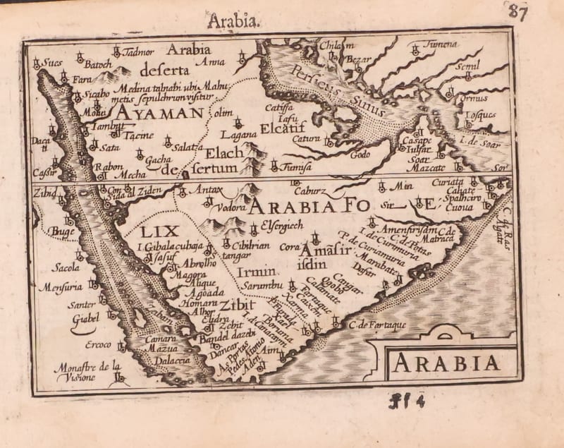
Arabia
Barent Langenes (map engraved by Jodocus Hondius or Petrus Kaerius) · Middelburg · 1598
€ 1.200
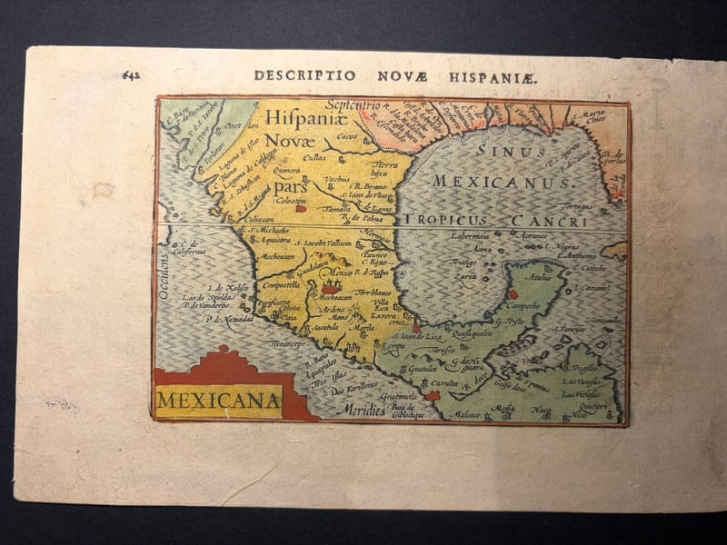
Antique Maps · FM-0166
Mexicana (Mexico and New Spain)
Petrus Bertius (plate engraved in the Van den Keere and Hondius workshop) · Amsterdam · 1602
€ 750
All 5 works: Barent Langenes and Petrus Bertius →